Elks Traverse

An epic 54.79 mile route with an accumulated 22,234 feet of elevation gain.
Difficult Trail Running
- Distance
- 85 km
- Ascent
- 7.5 km
- Descent
- 7.4 km
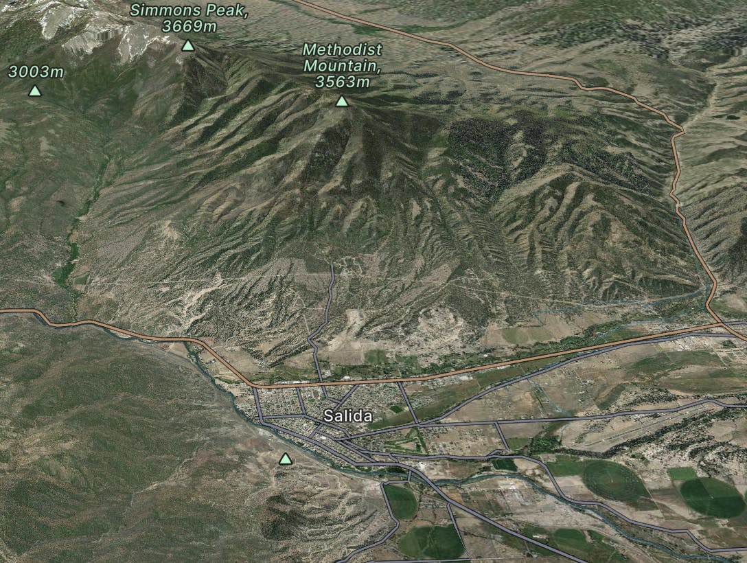
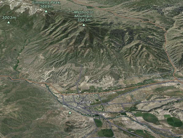
Salida
Explore Salida with curated guides of the best hiking trails, mountain bike trails, trail running routes, ski routes, and more. With over 552 3D trail maps in FATMAP, you can easily discover and navigate the best trails in Salida.
No matter what your next adventure has in store, you can find a guide on FATMAP to help you plan your next epic trip.
Get a top trail recommendation in Salida from one of our 75 guidebooks, or get inspired by the 552 local adventures uploaded by the FATMAP community. Start exploring now!
An epic 54.79 mile route with an accumulated 22,234 feet of elevation gain.
Difficult Trail Running

Legendary Massive Cliff Below Vertical Cornice
Extreme Freeride Skiing
Baldwin gulch road (277) to the Baldwin lakes
Moderate Hiking

One of the last chutes in Copper's Adjacent Backcountry that you're recommended to hike to.
Difficult Freeride Skiing

Beautiful Line off the highest part of Cornice Bowl
Difficult Freeride Skiing

Steeper part of Cornice Bowl that takes some additional hiking to reach
Difficult Freeride Skiing

The easiest way down after you hike up the shoulder of Jacque Peak
Moderate Freeride Skiing

Much tricker alternative to Lower West Gully
Severe Freeride Skiing

Cliff-riddled face that is more dangerous than difficult
Severe Freeride Skiing

Easier but rockier entrance into the Eastern Couloir
Difficult Freeride Skiing

Much trickier alternative to Main Chute
Severe Freeride Skiing

Tight and rocky, but fun Copper Backcountry chute
Difficult Freeride Skiing

A tricky way down from Jacque Peak
Difficult Freeride Skiing

Awesome wide open Couloir off the shoulder of Jacque Peak
Severe Freeride Skiing

Majestic Line off the summit Jacque Peak
Severe Freeride Skiing

Impressive chute off the face of Jacque Peak
Severe Freeride Skiing