Tanner Peak

Pedal to the top of a 9,340-foot peak near Canon City.
Severe Mountain Biking
- Distance
- 20 km
- Ascent
- 1.2 km
- Descent
- 1.2 km
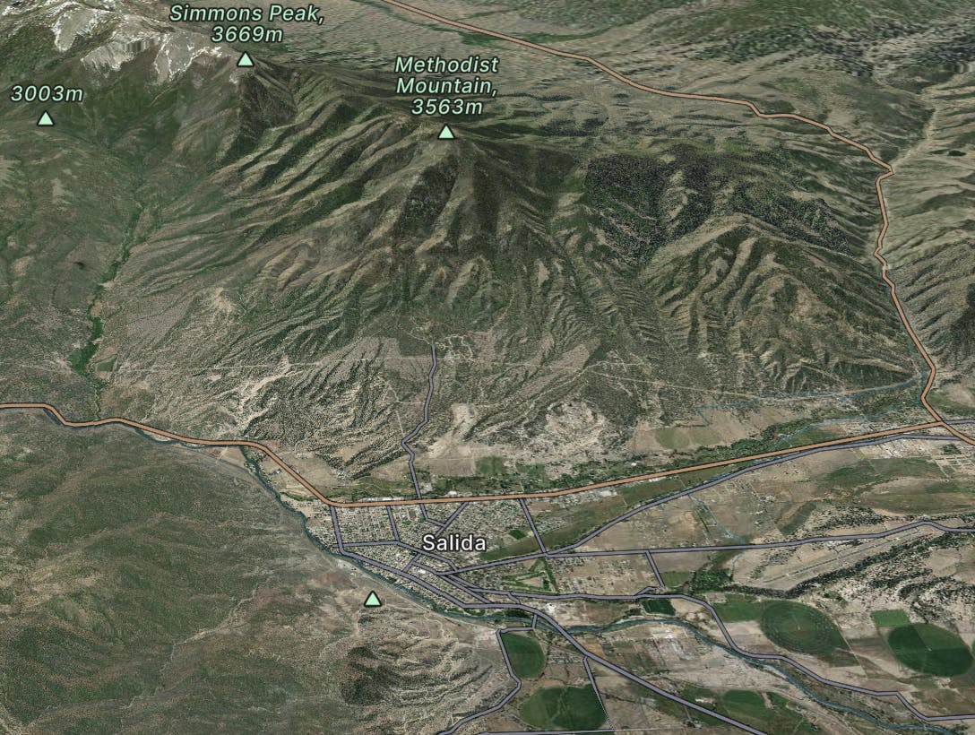
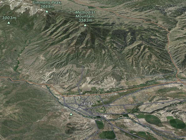
Salida
Explore Salida with curated guides of the best hiking trails, mountain bike trails, trail running routes, ski routes, and more. With over 552 3D trail maps in FATMAP, you can easily discover and navigate the best trails in Salida.
No matter what your next adventure has in store, you can find a guide on FATMAP to help you plan your next epic trip.
Get a top trail recommendation in Salida from one of our 75 guidebooks, or get inspired by the 552 local adventures uploaded by the FATMAP community. Start exploring now!
Pedal to the top of a 9,340-foot peak near Canon City.
Severe Mountain Biking

One of the closest peaks to Canon City.
Difficult Trail Running

One of the closest peaks to Canon City.
Difficult Hiking
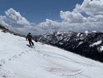
A Sawatch uber-classic.
Difficult Ski Touring

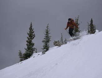
Nice gladed trees leads into a creekbed.
Easy Ski Touring

Tree skiing in a much less frequented part of Monarch Pass.
Moderate Ski Touring

A long tree skiing route back down to the highway.
Moderate Ski Touring

One of the longer descents on the Pass.
Easy Ski Touring

Low-angle, open glades and trees.
Easy Ski Touring

A quick, steep option right off the summit of the Pass.
Moderate Ski Touring
The obvious ski line from the summit of Monarch Pass.
Moderate Ski Touring

The other option towards Perfect Trees.
Easy Ski Touring

THE line to ski while at Monarch Pass.
Moderate Ski Touring

The most open chute in the Lake Chutes
Difficult Freeride Skiing

A cross-fall line double black running directly under E chair.
Difficult Freeride Skiing

One of the most famous stretches of whitewater in Colorado.
Severe Kayaking