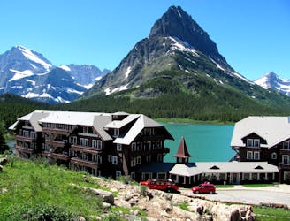
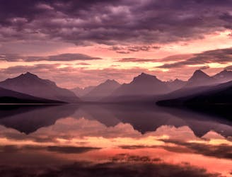
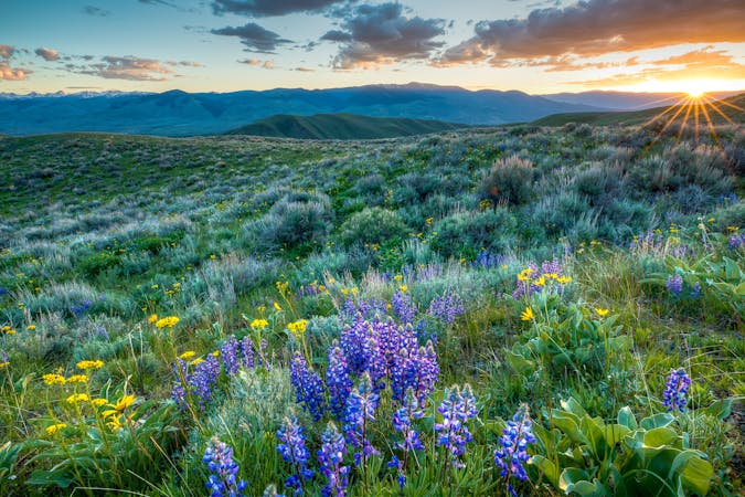
CDT: Many Glacier Hotel to Border Monument Terminus
The classic finish to the CDT at the Border Monument on Waterton Lake.
Difficult Hiking
- Distance
- 56 km
- Ascent
- 2.1 km
- Descent
- 2.3 km
Go hiking in Glacier National Park (USA) with curated guides of the best hikes across the region. With over 28 3D trail maps in FATMAP, you can easily discover and navigate the best trails in Glacier National Park (USA).
No matter what your next adventure has in store, you can find a guide on FATMAP to help you plan your next epic trip.
Get a top hiking trail recommendation in Glacier National Park (USA) from one of our 7 guidebooks, or get inspired by the 28 local adventures uploaded by the FATMAP community. Start exploring now!
The classic finish to the CDT at the Border Monument on Waterton Lake.
Difficult Hiking
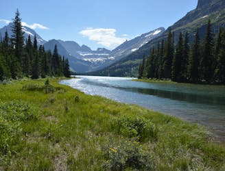
An alternate way to complete the CDT when snow or logistics into Canada are problematic.
Moderate Hiking
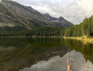
The gateway into Glacier National Park as you near the finale of the 3,100-mile CDT.
Difficult Hiking
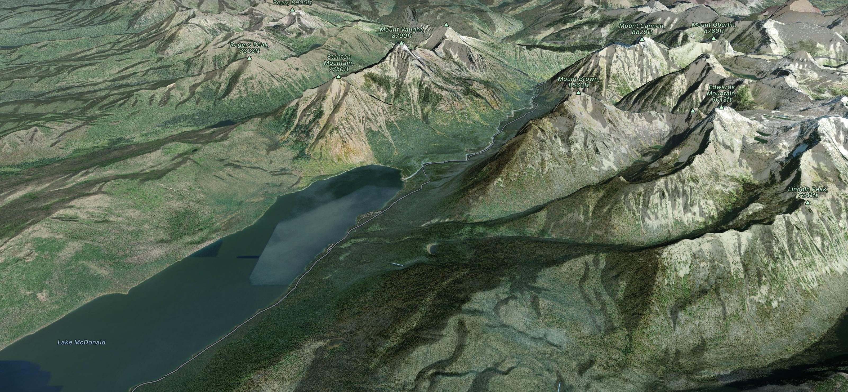
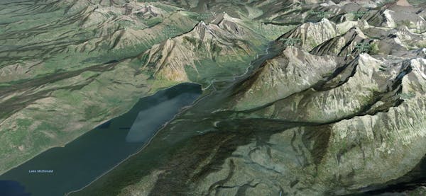
Meander along this flat trail on the shores of the renowned Lake McDonald
Easy Hiking
Gentle walk around two beautiful lakes.
Moderate Hiking
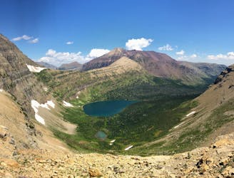
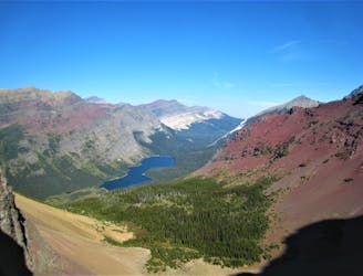
A lengthy but epic hike over two passes.
Difficult Hiking

Easygoing hike to a beautiful alpine lake.
Easy Hiking
A relatively uncrowded trail that provides fantastic views.
Difficult Hiking
11 routes · Hiking
6 routes · Hiking

25 routes · Alpine Climbing · Hiking
5 routes · Alpine Climbing · Hiking

40 routes · Hiking
13 routes · Hiking

63 routes · Alpine Climbing · Hiking