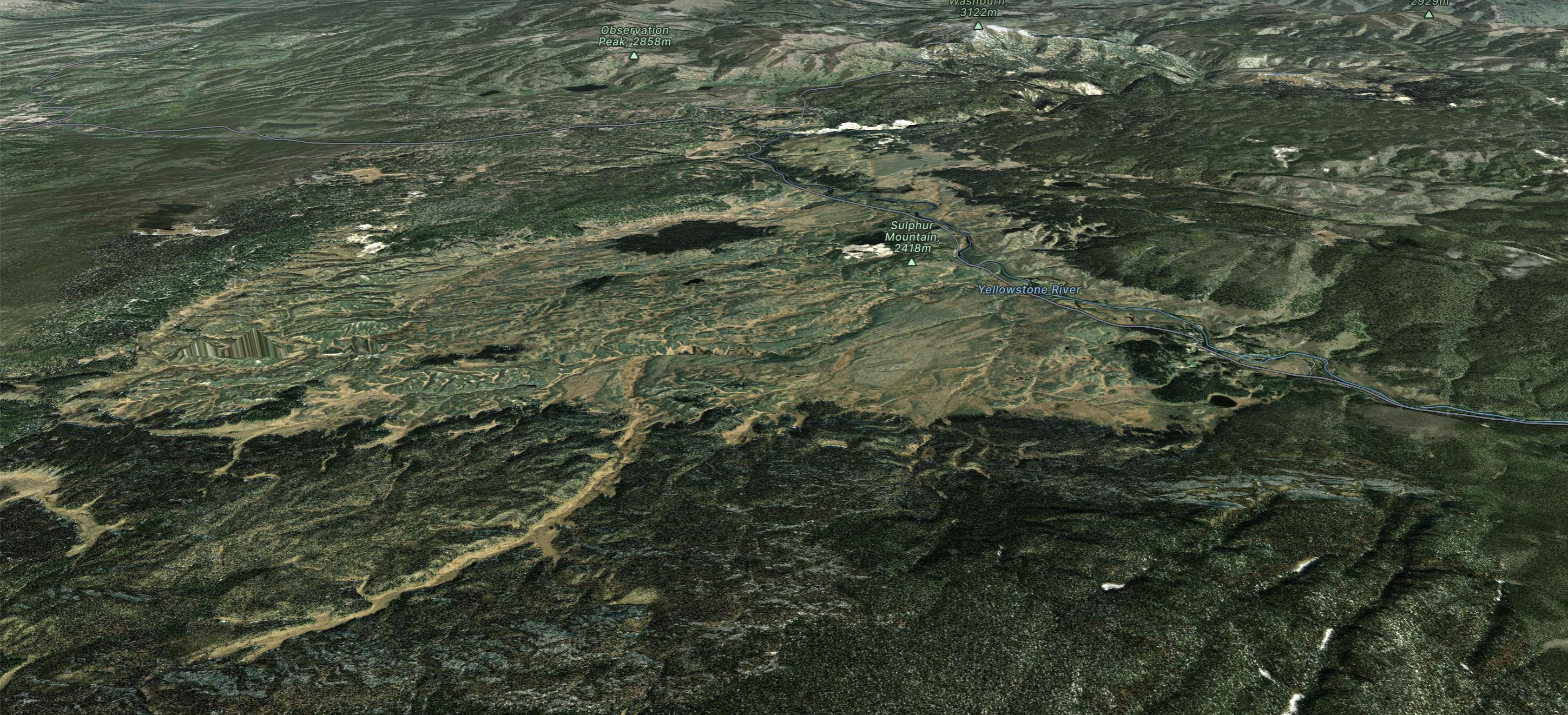
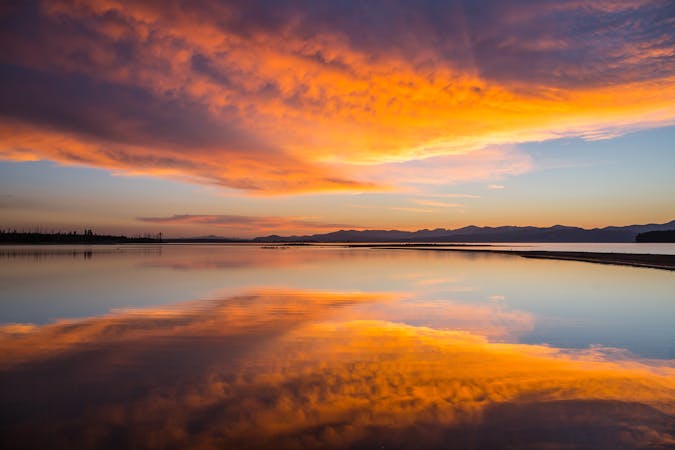
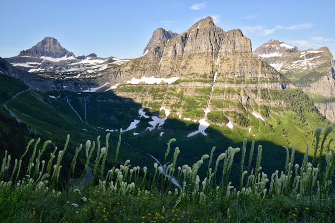
CDT: Lewis Lake (US-191) to Targhee Pass (US-20)
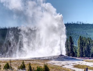
The CDT's passage through the southwest corner of Yellowstone National Park, including the stunning Old Faithful Geyser.
Difficult Hiking
- Distance
- 124 km
- Ascent
- 1.9 km
- Descent
- 2.1 km
Explore Yellowstone National Park with curated guides of the best hiking trails, trail running routes, and more. With over 26 3D trail maps in FATMAP, you can easily discover and navigate the best trails in Yellowstone National Park.
No matter what your next adventure has in store, you can find a guide on FATMAP to help you plan your next epic trip.
Get a top trail recommendation in Yellowstone National Park from one of our 11 guidebooks, or get inspired by the 26 local adventures uploaded by the FATMAP community. Start exploring now!
The CDT's passage through the southwest corner of Yellowstone National Park, including the stunning Old Faithful Geyser.
Difficult Hiking
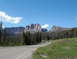
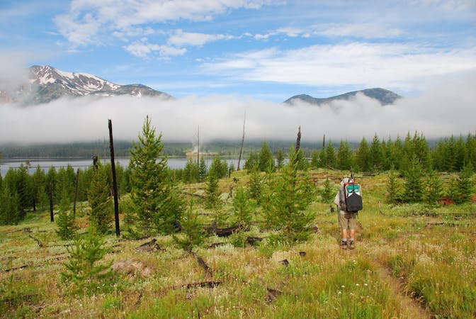
A remote passageway through the Teton Wilderness, considered one of the most remote areas in the lower 48.
Difficult Hiking
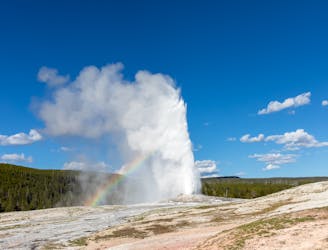
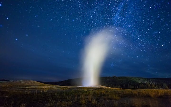
A 10km loop taking you to the most spectacular geysers in Yellowstone.
Easy Hiking

A short steep sprint to one of Yellowstone’s smaller and lesser known thermal areas, Monument Geyser Basin.
Moderate Trail Running
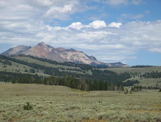
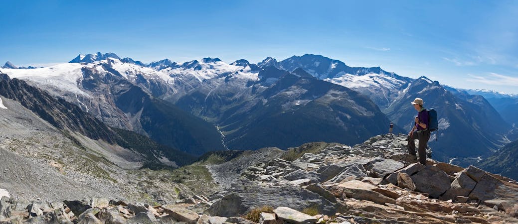
For sweeping views of the entire northwest corner of Yellowstone, Electric Peak is well worth the climb.
Difficult Hiking

Explore Yellowstone’s rugged northeast corner which is packed with various wildlife, dramatic mountain scenery and untamed wilderness.
Moderate Trail Running

A 14 mile out-and-back following a historic wagon trail into the Absaroka-Beartooth Wilderness, which lies just next to Yellowstone’s northern boundary.
Moderate Trail Running
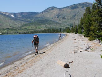
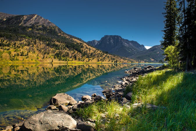
23-mile out-and-back with an active geyser basin, picturesque lakeside camping, and spectacular summit views.
Difficult Hiking
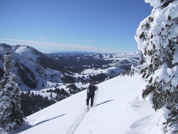
9 routes · Ski Touring
5 routes · Hiking · Trail Running
5 routes · Hiking
5 routes · Hiking · Trail Running
5 routes · Hiking · Trail Running

25 routes · Alpine Climbing · Hiking
5 routes · Alpine Climbing · Hiking
6 routes · Hiking