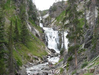
Taking you away from the crowds and into the wilderness, this 26-mile epic trail brings you along Bechler River and to the many magnificent waterfalls in Yellowstone’s Cascade Corner.
Difficult Hiking
- Distance
- 53 km
- Ascent
- 882 m
- Descent
- 1.2 km
This flat and easy trail takes you through a regenerating forest, past the impressive Grand Prismatic Spring and finishes at the impressive Imperial Geyser.
Easy Trail Running
- Distance
- 10 km
- Ascent
- 96 m
- Descent
- 96 m
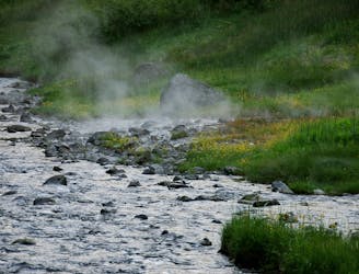
An easy-going trail bringing you up close to many impressive geysers and hot springs.
Moderate Trail Running
- Distance
- 5.6 km
- Ascent
- 195 m
- Descent
- 195 m
An 11.7km out-and-back trail with spectacular views throughout, fit for intermediate runners.
Moderate Trail Running
- Distance
- 11 km
- Ascent
- 420 m
- Descent
- 420 m
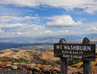
A strenuous climb with magnificent views across Yellowstone National Park.
Moderate Hiking
- Distance
- 7.2 km
- Ascent
- 641 m
- Descent
- 641 m
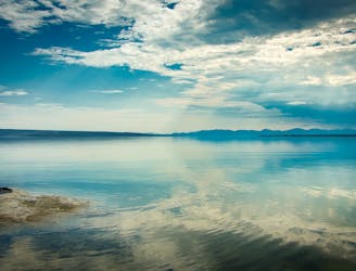
A moderate but very long trek into some of the most remote wildlands in the contiguous United States, along Yellowstone Lake and the Yellowstone River.
Moderate Hiking
- Distance
- 53 km
- Ascent
- 573 m
- Descent
- 554 m
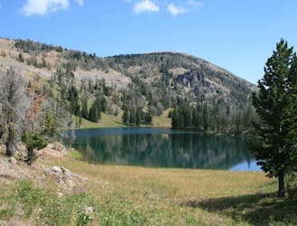
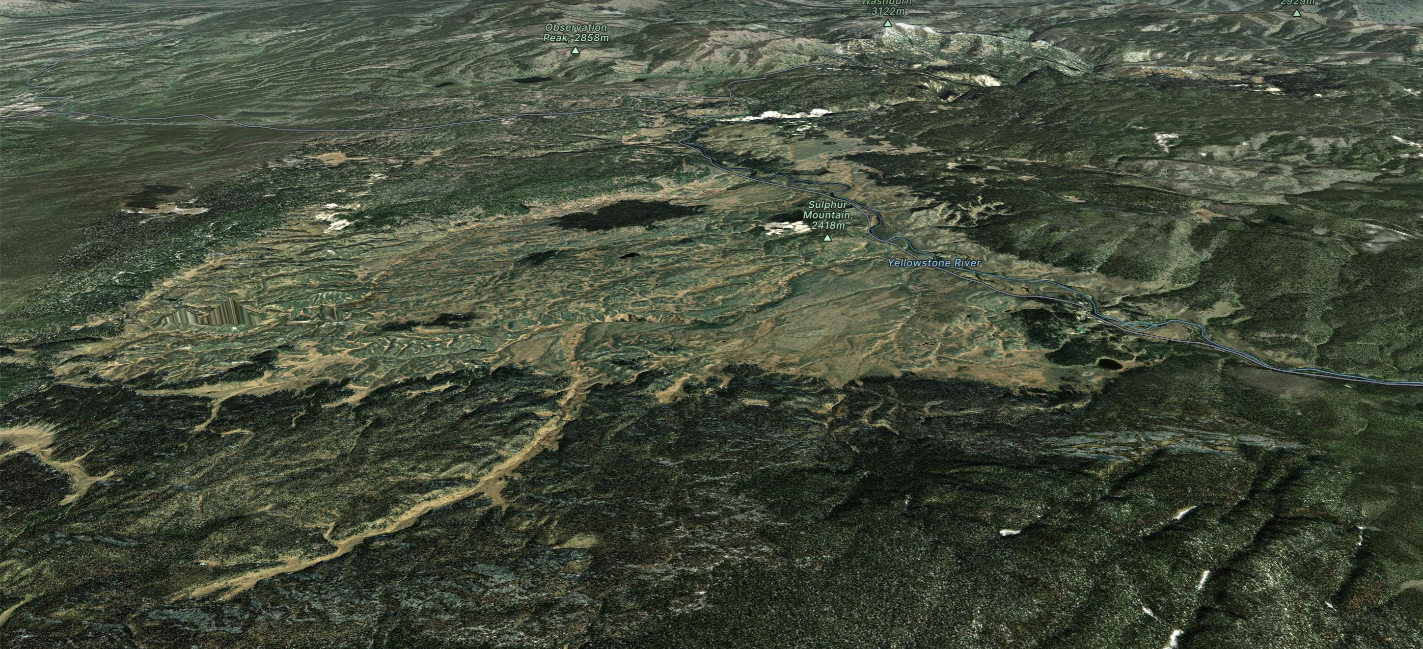
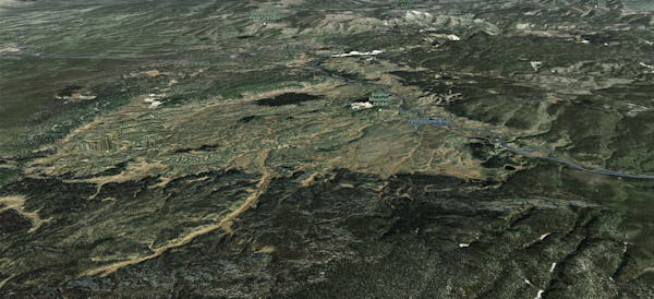
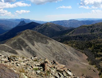
A high-elevation traverse on Yellowstone’s remote northern boundary, climbing to mountaintop views not typically seen in this national park.
Difficult Hiking
- Distance
- 34 km
- Ascent
- 1.5 km
- Descent
- 1.5 km
A wonderfully easy tour to a fun zone with stacks of pillows accessible by a boot pack that you can set throughout.
Difficult Ski Touring
- Distance
- 4.6 km
- Ascent
- 370 m
- Descent
- 370 m

One of the most iconic lines around Cooke City
Extreme Ski Touring
- Distance
- 6.6 km
- Ascent
- 938 m
- Descent
- 938 m

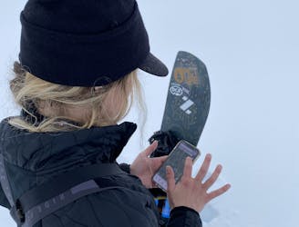
Skin Track to the head of Republic Creek
Moderate Ski Touring
- Distance
- 8 km
- Ascent
- 779 m
- Descent
- 30 m