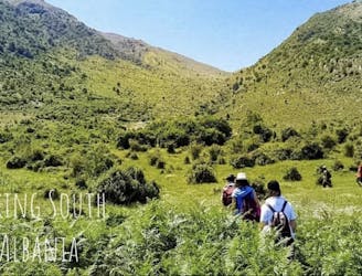
Terihat-Qafa e Leftokarese (6.3 Km)
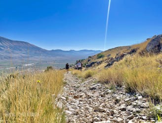
Hiking guide by "Hiking South Albania".
Moderate Hiking
- Distance
- 6.3 km
- Ascent
- 752 m
- Descent
- 22 m
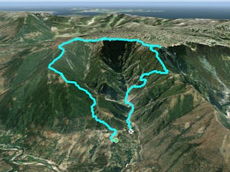
Explore Gjirokastër with curated guides of the best hiking trails, and more. With over 13 3D trail maps in FATMAP, you can easily discover and navigate the best trails in Gjirokastër.
No matter what your next adventure has in store, you can find a guide on FATMAP to help you plan your next epic trip.
Get a top trail recommendation in Gjirokastër, or get inspired by the 13 local adventures uploaded by the FATMAP community. Start exploring now!
Hiking guide by "Hiking South Albania".
Moderate Hiking
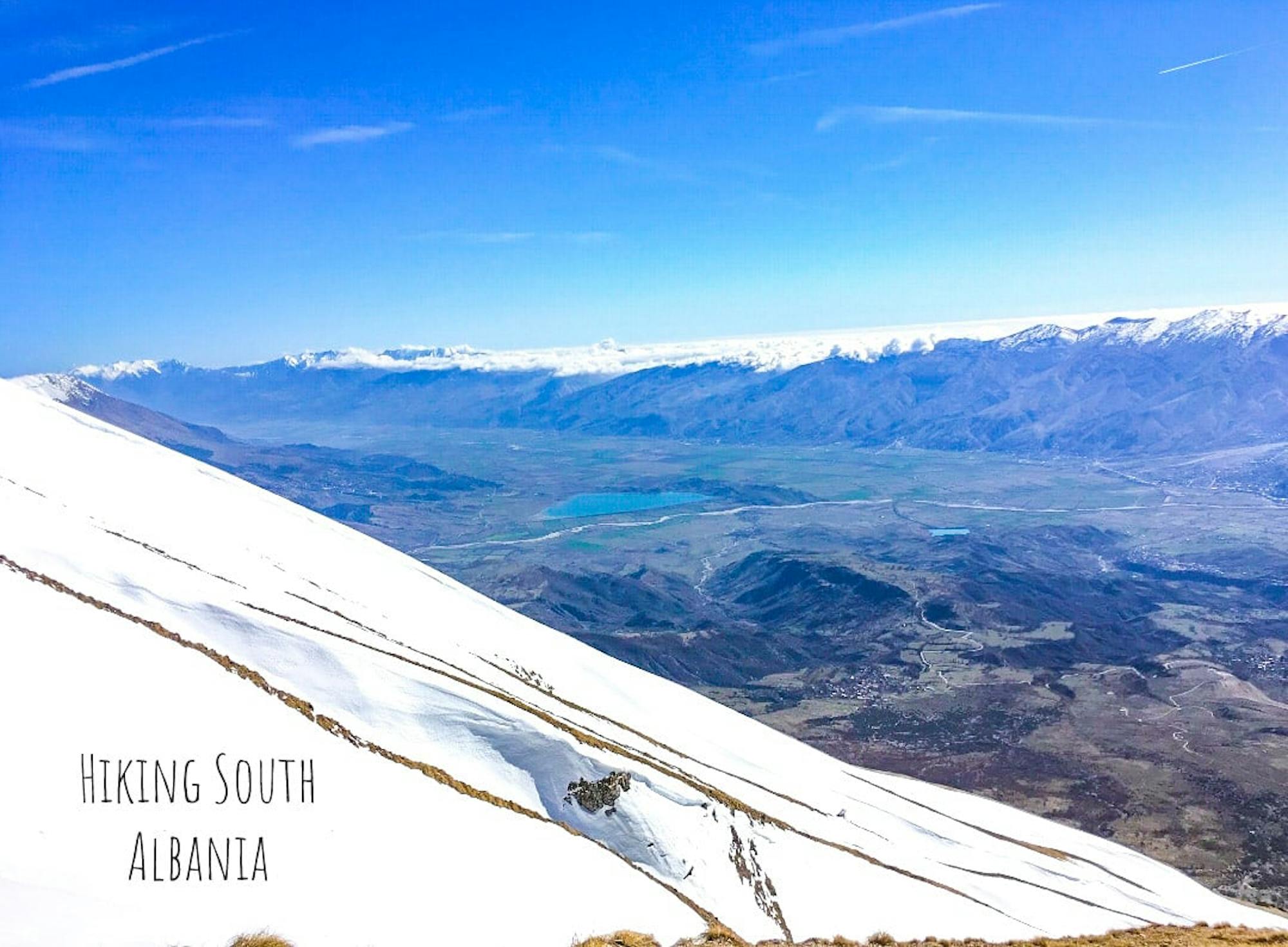
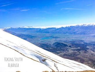
Ngjitje dimerore me debore. (HAMC)
Moderate Hiking

Very beautiful hiking
Moderate Hiking
The route is beautiful and challenging in winter.
Moderate Hiking

Hiking South Albania guide
Difficult Hiking

Hiking South Albania
Difficult Hiking

Hiking South Albania
Moderate Hiking

Hiking South Albania
Difficult Hiking
Hiking South Albania
Difficult Hiking
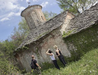
Hiking Guide from "Hiking South Albania" The mountain of Bureto lies to the east of the valley of Drinos. This mountain consists of rocky terrain and low vegetation. This area is rich in a variety of medicinal plants. The departure of the guides starts from the center of the village of Labove. This area preserves high cultural and historical values, because precisely here is the old church of the X century, which is a cultural heritage asset and is protected by UNESCO. Also very close to the village is the old castle built with cyclopean stones. This area offers a majestic view which is full of ancient history and cultural monuments! For more details, you can contact the website https:\\hiking-south-albania.business.site or the Instagram page: @hiking.south.albania; Facebook: Hiking South Albania
Moderate Hiking

Hiking guide by "Hiking South Albania" For more details, you can contact the website https:\\hiking-south-albania.business.site or the Instagram page: @hiking.south.albania; Facebook: Hiking South Albania
Moderate Hiking
Hiking guide by "Hiking South Albania" General description! Departure from the village of Asim Zeneli, we will visit the ancient city of Antigone, which was built in the 2nd century BC, at the time of King Pyrrhus of Epirus, Afterwards we will visit the village of Stegopouli, the monastery of Saint Ilia Thesbite 1653 and Saint Spiridon's Church dating back to 1871. Afterwards we will cross the Selcke Pass and finish the itinerary in the village of Labova of the Cross, where we will be presented with the old church of St. Mary dating back to the 10th century. ITINERARY SPECIFICATIONS. The distance of the route is 14.5 km one way (Difficulty: Moderate) The ascent begins at 335m above sea level and reaches the peak at 781m The angle of swelling is 16 degrees. The road level features consist of: 924m uphill, 12.87 km straight road, 706m downhill The terrain consists of hilly-mountain ranges, gorges and valleys. The area is rich with water resources located very close to each other. The vegetation type is mainly characterized by beech, oak and pine. In this area besides domestic animals such as pets you can often encounter wolf fox. bird like hawks and various non-poisonous reptiles. For more details, you can contact the website https:\\hiking-south-albania.business.site Instagram page: @hiking.south.albania; Facebook: Hiking South Albania
Moderate Hiking
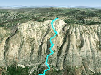
Hiking guide by "Hiking South Albania", (Top of Laluci)
Difficult Hiking