Wanglspitz North Valley Ride

Delightful ride from Wanglspitz onto its' North face into the Hoarbergkar
Difficult Freeride Skiing
- Distance
- 3.9 km
- Ascent
- 6 m
- Descent
- 716 m
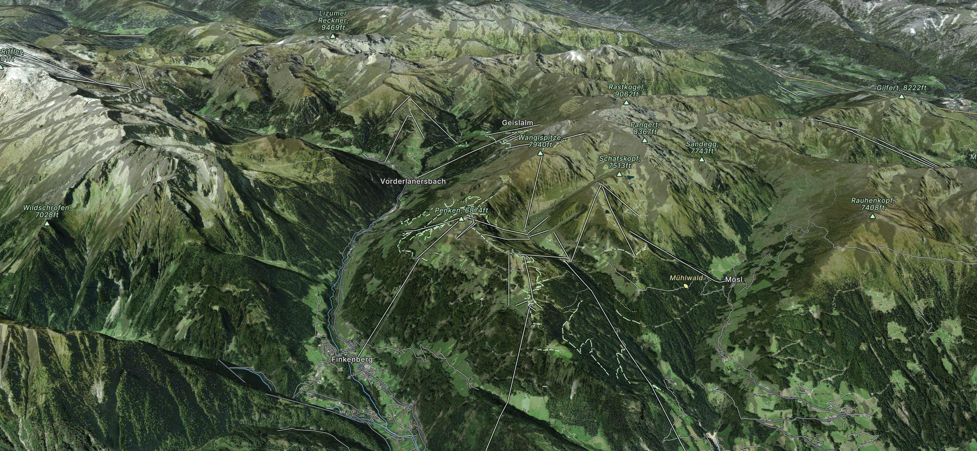
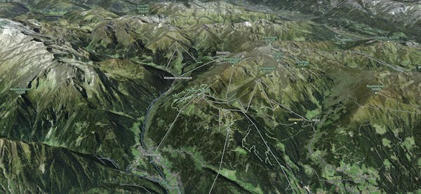
Mayrhofen is part of the Gletscherwelt Zillertal 3000 and is famous for its freeriding, the exceptionally steep piste 'Harikiri' and beautiful scenery.
Explore Mayrhofen with curated guides of the best hiking trails, ski routes, and more. With over 23 3D trail maps in FATMAP, you can easily discover and navigate the best trails in Mayrhofen.
No matter what your next adventure has in store, you can find a guide on FATMAP to help you plan your next epic trip.
Get a top trail recommendation in Mayrhofen from one of our 14 guidebooks, or get inspired by the 23 local adventures uploaded by the FATMAP community. Start exploring now!
Delightful ride from Wanglspitz onto its' North face into the Hoarbergkar
Difficult Freeride Skiing

Beautiful route on the Beilspitz NW face
Difficult Freeride Skiing

Nice route from Vorderlanersbach to the top of Rastkogel. Mostly close to piste.
Difficult Ski Touring
The Berliner Höhenweg, or how some people also say - Zillertaler Runde, is one of the most famous multi day hiking routes in the alps. But mind the difficulty of this loop! It’s high alpine, steep and exposed.
Extreme Trail Running

Hut to hut hike, some stages of the Inntaler Hohenweg, easy and nice
Moderate Hiking

One Epic Trip with the New England boys
Extreme Mountain Biking

With 1391hm a long, demanding mountain run.
Severe Trail Running