Mt. Myra summit ski
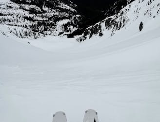
Ski tour up Tennent Creek to summit and down NW bowl
Difficult Ski Touring
- Distance
- 15 km
- Ascent
- 1.7 km
- Descent
- 1.7 km
Explore Vancouver Island with curated guides of the best hiking trails, mountain bike trails, ski routes, and more. With over 87 3D trail maps in FATMAP, you can easily discover and navigate the best trails in Vancouver Island.
No matter what your next adventure has in store, you can find a guide on FATMAP to help you plan your next epic trip.
Get a top trail recommendation in Vancouver Island from one of our 14 guidebooks, or get inspired by the 87 local adventures uploaded by the FATMAP community. Start exploring now!
Ski tour up Tennent Creek to summit and down NW bowl
Difficult Ski Touring
The West Coast Trails Wild Sibling
Difficult Hiking

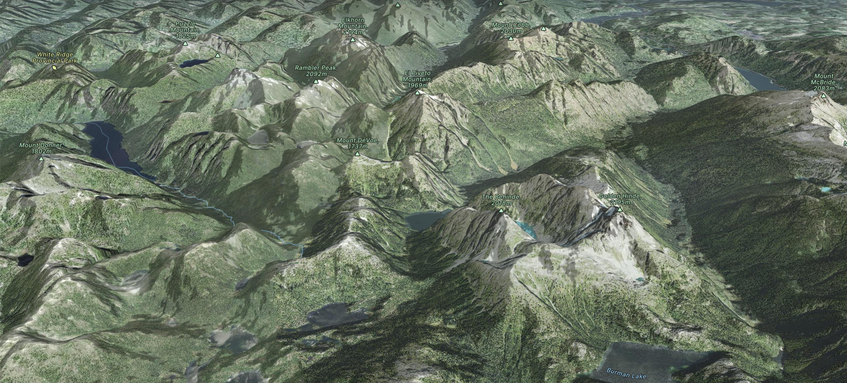
From https://stevensong.com/coastal-interior-bc/vancouver-island/golden-hinde/, this is the GPX for Steven Song's bagging of Golden Hinde in 2017.
Difficult Hiking

Downloaded from Bivouac.net
Difficult Hiking
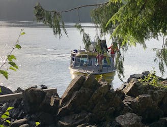
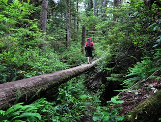
Catch a small boat out of Tofino to get across to Meares Island to hike straight up the steep slope of Lone Cone, just following ribbon-tags on trees for some of the way. (Distance is one way only)
Difficult Hiking

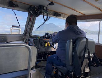
Tofino-Vargas Island-Sydney Inslet | Best of British Columbia
Easy Sailing
A spectacular 75 kilometre journey along the wild west coast of Vancouver Island.
Difficult Hiking