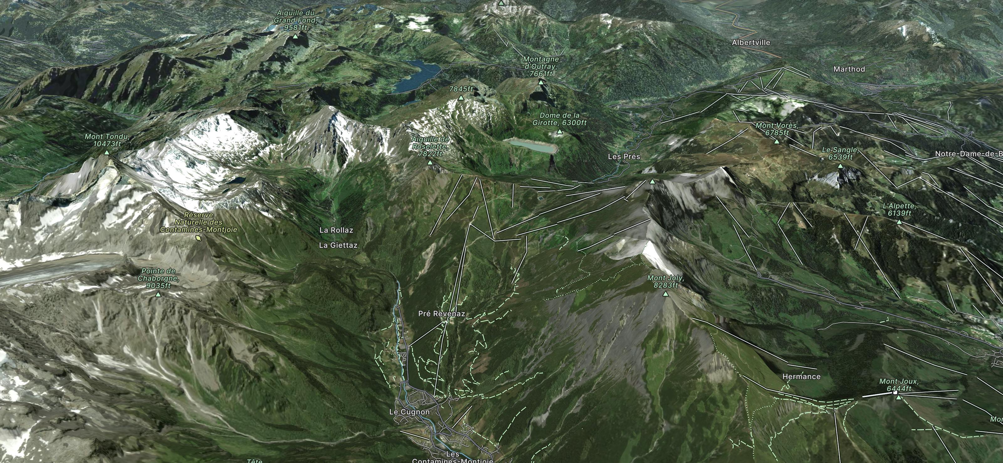
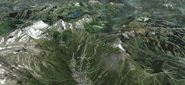
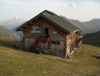
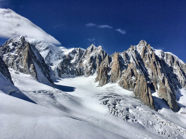
Refuge des Conscrits
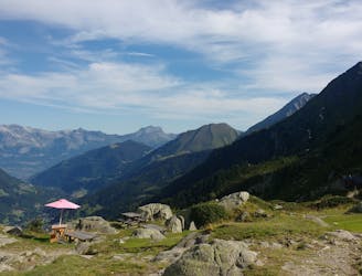
A serene glacier hike to a beautiful high mountain hut
Severe Hiking
- Distance
- 19 km
- Ascent
- 1.7 km
- Descent
- 1.7 km
Go hiking in Les Contamines with curated guides of the best hikes across the region. With over 14 3D trail maps in FATMAP, you can easily discover and navigate the best trails in Les Contamines.
No matter what your next adventure has in store, you can find a guide on FATMAP to help you plan your next epic trip.
Get a top hiking trail recommendation in Les Contamines from one of our 5 guidebooks, or get inspired by the 14 local adventures uploaded by the FATMAP community. Start exploring now!
A serene glacier hike to a beautiful high mountain hut
Severe Hiking
Day 3: A long and wild day which leads to one of the most peaceful little settlements in the French Alps.
Difficult Hiking

Col des Fours Variant
Difficult Hiking

Ascend to Col de la Croix du Bonhomme, then contour across to the Col du Bonhomme to Les Contamines
Difficult Hiking

Traversée de la Haute-Savoie et de la Savoie par l'Est, de Saint-Gingolph à Modane
Severe Hiking

14 routes · Hiking
3 routes · Alpine Climbing · Hiking

15 routes · Alpine Climbing · Hiking