470 m away
Tour du Mont Blanc: Les Contamines to Les Chapieux
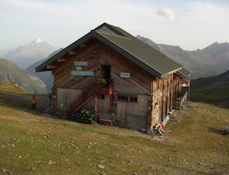
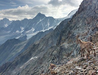
Day 3: A long and wild day which leads to one of the most peaceful little settlements in the French Alps.
Difficult Hiking
- Distance
- 19 km
- Ascent
- 1.4 km
- Descent
- 975 m
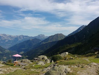
Col des Fours Variant
Also in Haute-Savoie, France
Hiking Difficult

This is a popular hiking route which is generally considered to be difficult. It's remote, it features low exposure and is typically done between July and September. From a low point of 1.1 km to the maximum altitude of 2.7 km, the route covers 21 km, 1667 vertical metres of ascent and 917 vertical metres of descent.
High Alps TMB Variant
Difficult
Hiking trails where obstacles such as rocks or roots are prevalent. Some obstacles can require care to step over or around. At times, the trail can be worn and eroded. The grade of the trail is generally quite steep, and can often lead to strenuous hiking.

The path is on completely flat land and potential injury is limited to falling over.

Away from help but easily accessed.
470 m away
Day 3: A long and wild day which leads to one of the most peaceful little settlements in the French Alps.
Difficult Hiking
1.7 km away
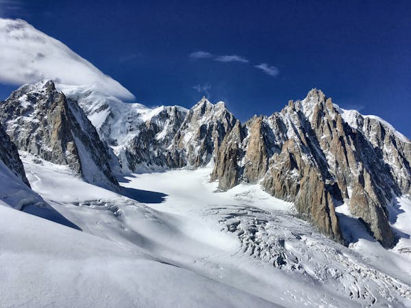
A serene glacier hike to a beautiful high mountain hut
Severe Hiking
3.5 km away
Mingle with Tour du Mont Blanc hikers before going off on less travelled trails.
Severe Hiking
6.8 km away
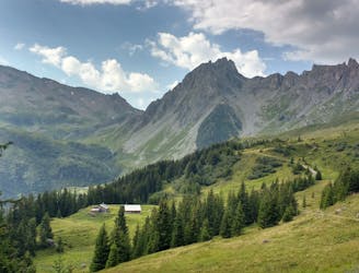
Day 2: An excellent day taking in a huge variety of views, from alpine meadows to hanging glaciers and rocky ridges.
Difficult Hiking
9 km away
A challenging loop showcasing the diversity of the Mont Blanc mountain range.
Severe Hiking
10 km away
Easy hike to the statue du Christ-Roi.
Moderate Hiking

14 routes · Hiking
3 routes · Alpine Climbing · Hiking

12 routes · Hiking

15 routes · Alpine Climbing · Hiking