46 m away
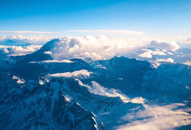
Aconcagua: Base Camp Plaza de Mulas to Horcones
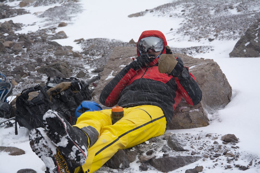
The last day of the Aconcagua expedition.
Moderate Hiking
- Distance
- 24 km
- Ascent
- 138 m
- Descent
- 1.6 km
Exposed upper sections, made harder in bad weather
Hiking Difficult

This is a popular hiking route which is generally considered to be difficult. It's very remote, it features medium exposure and is typically done between November and January. From a low point of 4.3 km to the maximum altitude of 5 km, the route covers 12 km, 752 vertical metres of ascent and 755 vertical metres of descent.
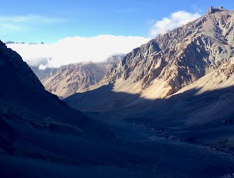
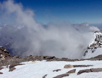
When clear amazing views across the Andes
Difficult
Hiking trails where obstacles such as rocks or roots are prevalent. Some obstacles can require care to step over or around. At times, the trail can be worn and eroded. The grade of the trail is generally quite steep, and can often lead to strenuous hiking.

The trail contains some obstacles such as outcroppings and rock which could cause injury.

Little chance of being seen or helped in case of an accident.
46 m away
The last day of the Aconcagua expedition.
Moderate Hiking
3.9 km away
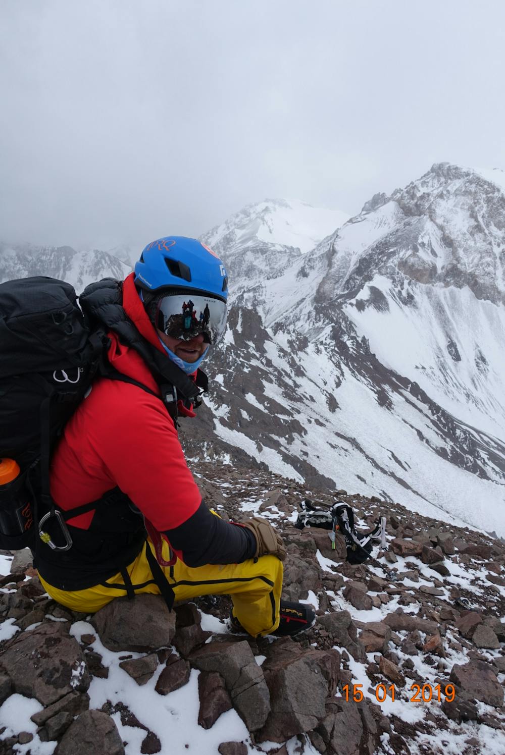
Summit the highest peak in South America!
Severe Hiking
3.9 km away
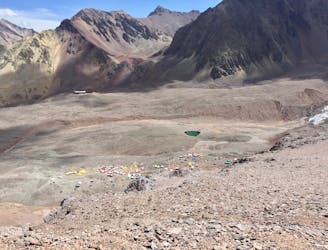
Hike down to Base Camp Plaza de Mulas.
Difficult Hiking
5.6 km away
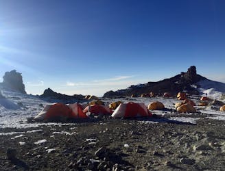
The last hike before the summit attempt!
Difficult Hiking
7.5 km away
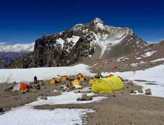
Continue higher up the flanks of Aconcagua, ending at Camp II at 5,500 m.a.s.l.
Difficult Hiking
7 routes · Hiking

18 routes · Alpine Climbing · Hiking