5.4 km away
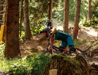
The Rough One
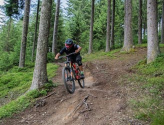
Natural technical singletrack.
Severe Mountain Biking
- Distance
- 2.5 km
- Ascent
- 0 m
- Descent
- 510 m
Landschaftlich eine der schönsten Touren die ich je gesehen habe
Mountain Biking Severe
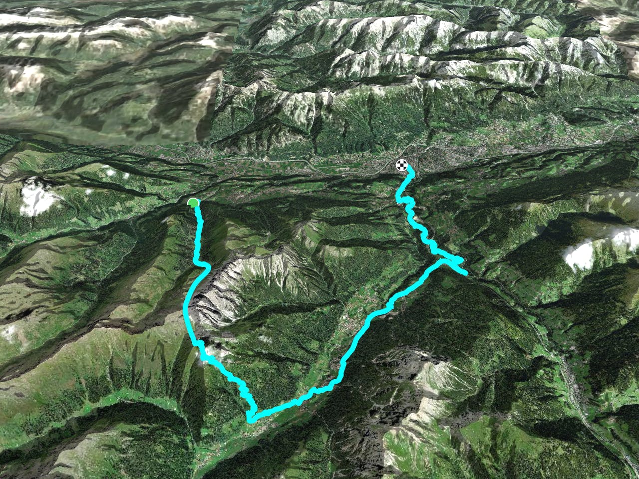
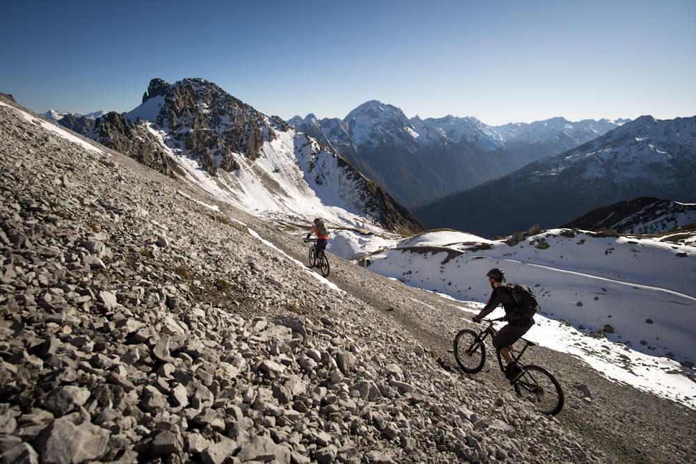
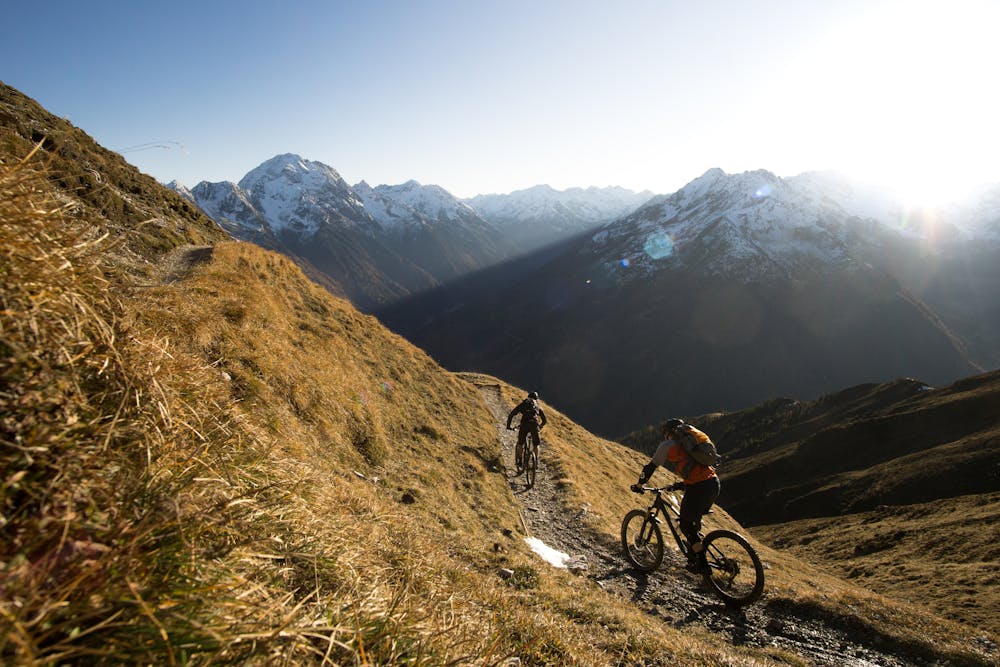
This is a popular mountain biking route which is generally considered to be severe. It's remote, it features medium exposure and is typically done between July and September. From a low point of 581 m to the maximum altitude of 2.5 km, the route covers 46 km, 2202 vertical metres of ascent and 2668 vertical metres of descent.
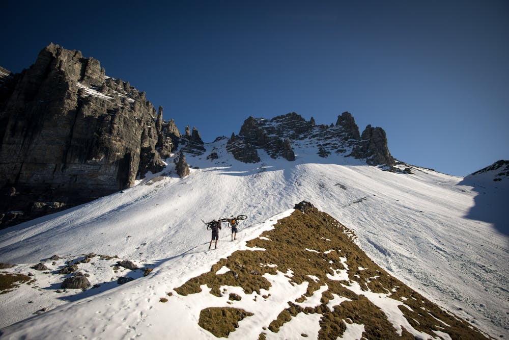
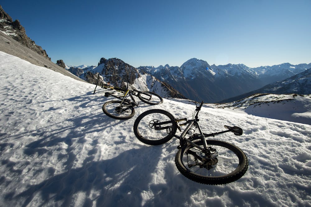
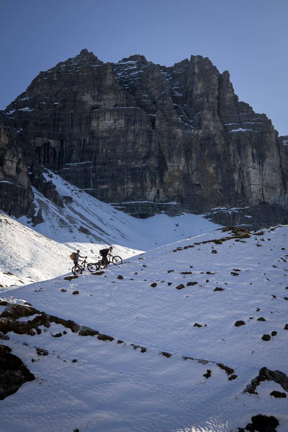
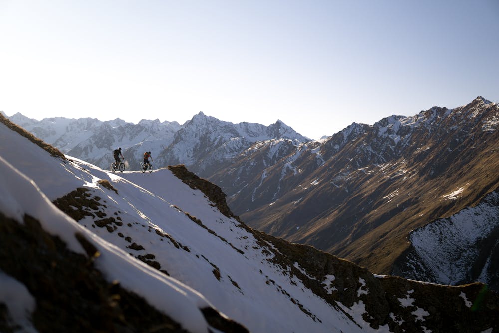
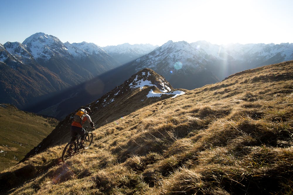
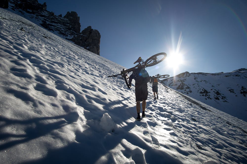
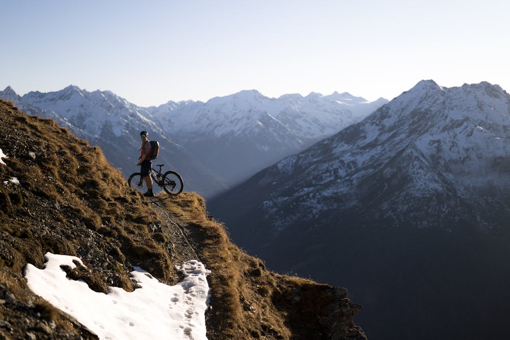
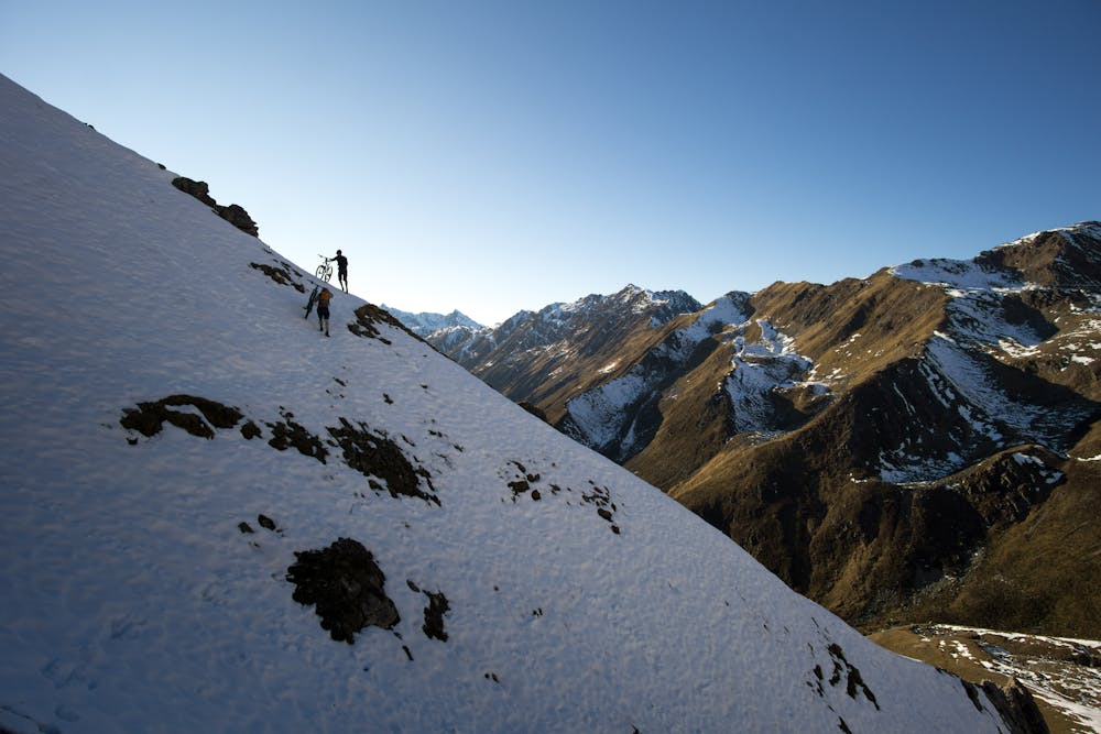

Tour wurde im Anfang November 2020 durchgeführt. Etwas spät da einiges an Schnee, wie auf den Fotos ersichtlich ist, schon gefallen war und somit musste man einiges an Weg das Bike tragen.
Severe
Widely variable, narrow trail tread with steeper grades and unavoidable obstacles of 15in/38cm tall or less. Obstacles may include unavoidable bridges 24in/61cm wide or less, large rocks, gravel, difficult root sections, and more. Ideal for advanced-level riders.

The trail contains some obstacles such as outcroppings and rock which could cause injury.
Away from help but easily accessed.
5.4 km away
Natural technical singletrack.
Severe Mountain Biking
6.2 km away
Fast, playful, winding trail.
Difficult Mountain Biking
6.3 km away
A fun, straightforward route deep into a peaceful valley.
Easy Mountain Biking
6.5 km away
Downhill fun for the whole family!
Easy Mountain Biking
6.5 km away
An exciting varied and natural trail in the woods.
Difficult Mountain Biking
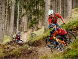
6.9 km away
A fast and technical downhill track!
Severe Mountain Biking
7.4 km away
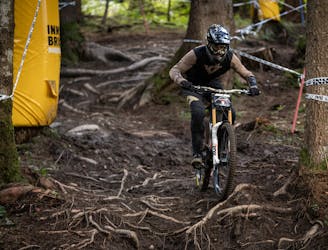
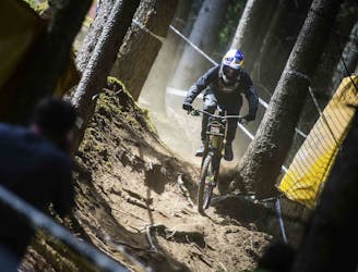
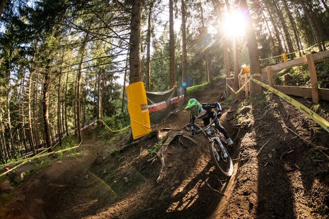
Competition Track of deuter Downhill presented by Raiffeisen Club 2021
Extreme Mountain Biking
8.8 km away
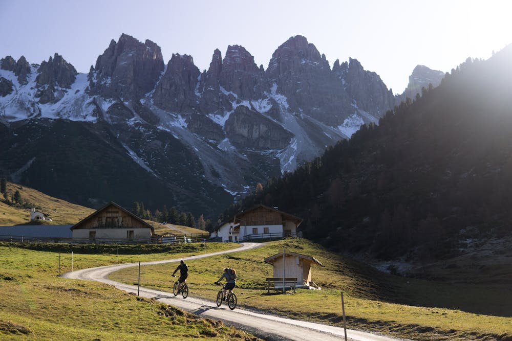
A medium difficulty, circular route on the southern side of the Inn Valley. The elevation gain is just under 900m, but all the uphill is covered in the first half, allowing for an easy finish after lunch!
Moderate Mountain Biking
5 routes · Mountain Biking
2 routes · Mountain Biking

24 routes · Mountain Biking
7 routes · Mountain Biking