494 m away
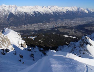
Kalkogel Loop
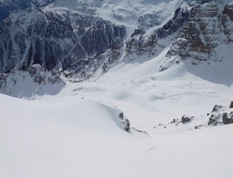
An awe inspiring journey around the Kalkogel range, home to some of Tirol's most dramatic peaks.
Difficult Ski Touring
- Distance
- 19 km
- Ascent
- 1.4 km
- Descent
- 2.7 km
A perfect combination of a towering summit and exciting skiing.
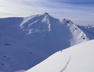
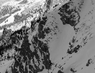
Ski Touring Severe

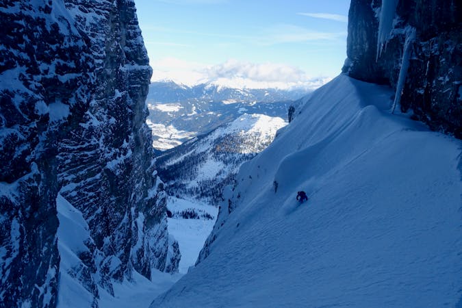
This is a popular ski touring route which is generally considered to be severe. It's very remote, it features medium exposure (e2) and is typically done between January and April. From a low point of 1.6 km to the maximum altitude of 2.5 km, the route covers 6.3 km, 641 vertical metres of ascent and 1395 vertical metres of descent. It's graded 3.3 and Labande grade 4. You'll need skins to complete it safely.
This is a great line which is very much in the realm of ski mountaineering, whilst still being accessible from Axamer Lizum ski area.
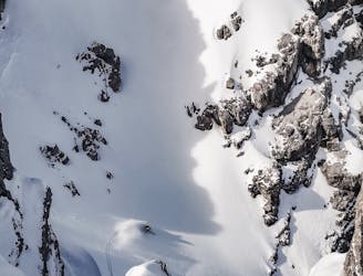
Severe
Steep skiing at 38-45 degrees. This requires very good technique and the risk of falling has serious consequences.

As well as the slope itself, there are some obstacles (such as rock outcrops) which could aggravate injury.

Little chance of being seen or helped in case of an accident.
494 m away
An awe inspiring journey around the Kalkogel range, home to some of Tirol's most dramatic peaks.
Difficult Ski Touring
639 m away

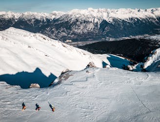
An amazing peak that manages to feel wild despite its proximity to the ski area.
Moderate Ski Touring
933 m away
A narrow and exciting gully.
Difficult Ski Touring
1.2 km away

3 cracking couloirs which lead straight to a pub!
Difficult Ski Touring
1.3 km away
An exposed traverse leads to a lovely hanging face.
Difficult Ski Touring
1.3 km away
A very "out there" feeling line which is undeniably serious and takes you through some extraordinary mountain terrain.
Severe Ski Touring
1.3 km away

A wide and beautiful couloir.
Difficult Ski Touring
2 km away

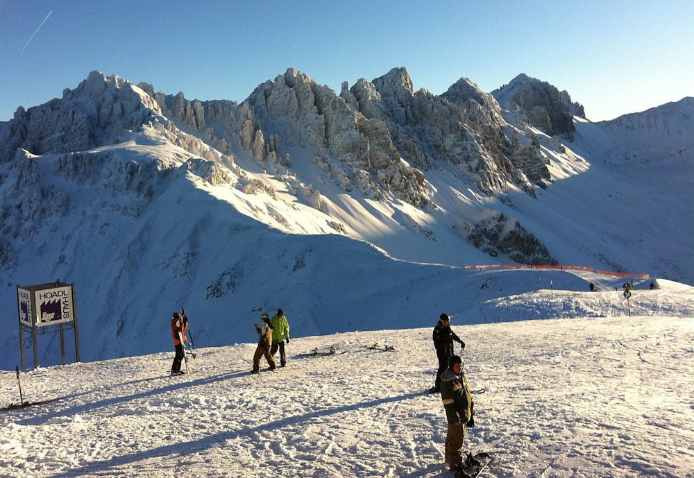
A great little lift assisted ski tour which begins at the top of the Olympiabahn lift and finishes at the bottom of it.
Moderate Ski Touring
2.1 km away
The most famous couloir in Kalkkögel!
Difficult Ski Touring
3 km away
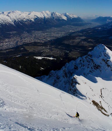
An exciting ski line which is visible from virtually all of Innsbruck city centre.
Severe Ski Touring
5 routes · Ski Touring

50 routes · Freeride Skiing · Ski Touring
6 routes · Ski Touring

25 routes · Ski Touring