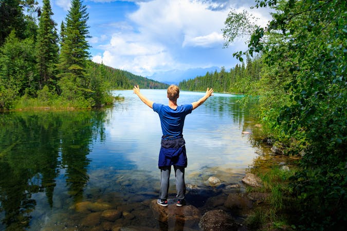
25 m away
Parker Ridge | C'est Notre Monde
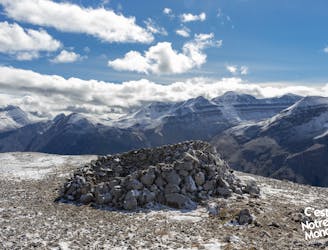
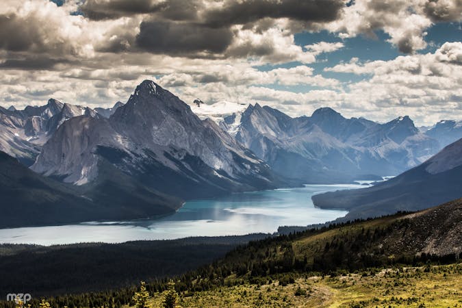
Parker Ridge, a walk between ice and mountains
Moderate Hiking
- Distance
- 6.6 km
- Ascent
- 350 m
- Descent
- 350 m
Jasper National Park
Hiking Easy

This is a popular hiking route which is generally considered to be easy. It's not remote, it features medium exposure and is typically done between July and March. From a low point of 2 km to the maximum altitude of 2.3 km, the route covers 11 km, 756 vertical metres of ascent and 682 vertical metres of descent.
Easy ridge Walk to open glacier views
Easy
Walking along a well-kept trail that’s mostly flat. No obstacles are present.

The trail contains some obstacles such as outcroppings and rock which could cause injury.

Close to help in case of emergency.
25 m away
Parker Ridge, a walk between ice and mountains
Moderate Hiking
3.2 km away
The first (and also the final) leg of the Brazeau Loop trek, climbing over a high pass and tracing a river from its headwaters.
Difficult Hiking
8.3 km away
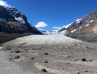
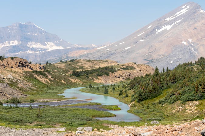
Easy walk to the edge of a large glacier.
Easy Hiking
8.5 km away
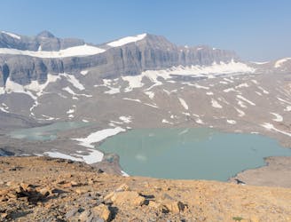
A fantastic day hiking - mainly above the treeline - which offers stunning views for most of the day.
Difficult Hiking
9 routes · Hiking
6 routes · Hiking
5 routes · Hiking

4 routes · Hiking
8 routes · Hiking