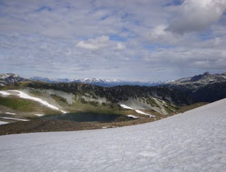
4.5 km away
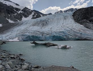
Iceberg Lake via 19 Mile Creek
A classic Whistler hike with stunning views, dense forests, wildlife, waterfalls and an alpine lake as your destination.
Difficult Hiking
- Distance
- 14 km
- Ascent
- 960 m
- Descent
- 960 m
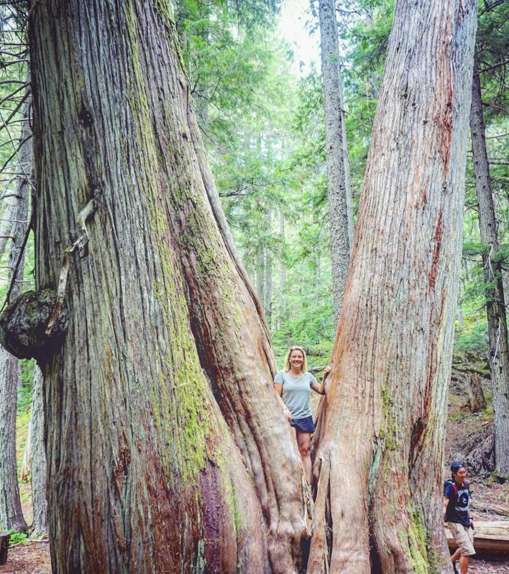
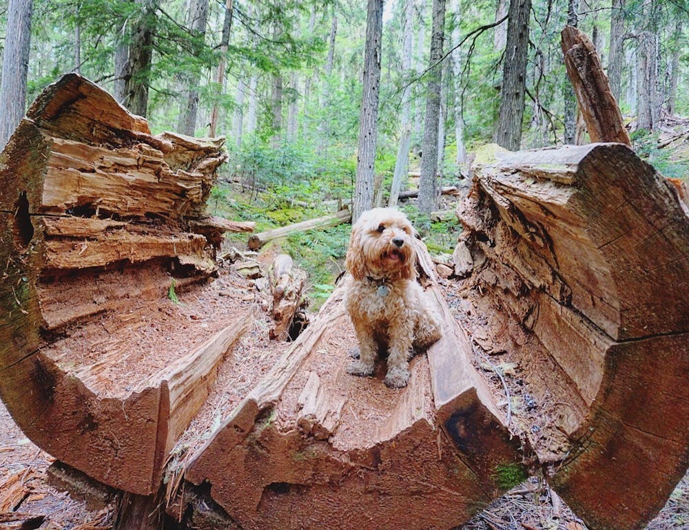
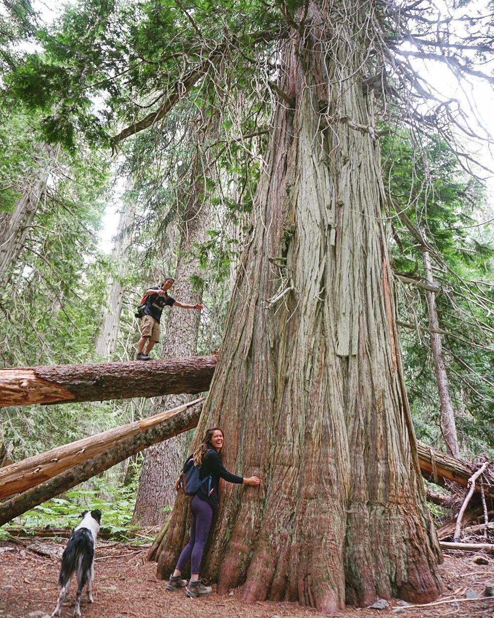
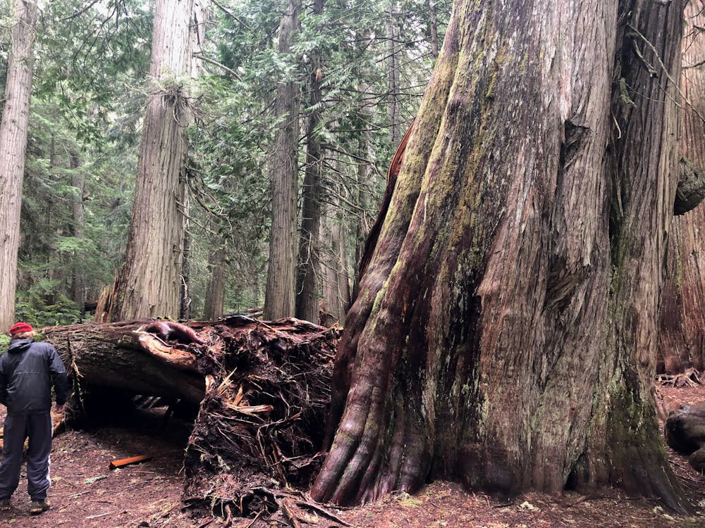
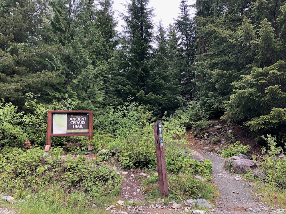
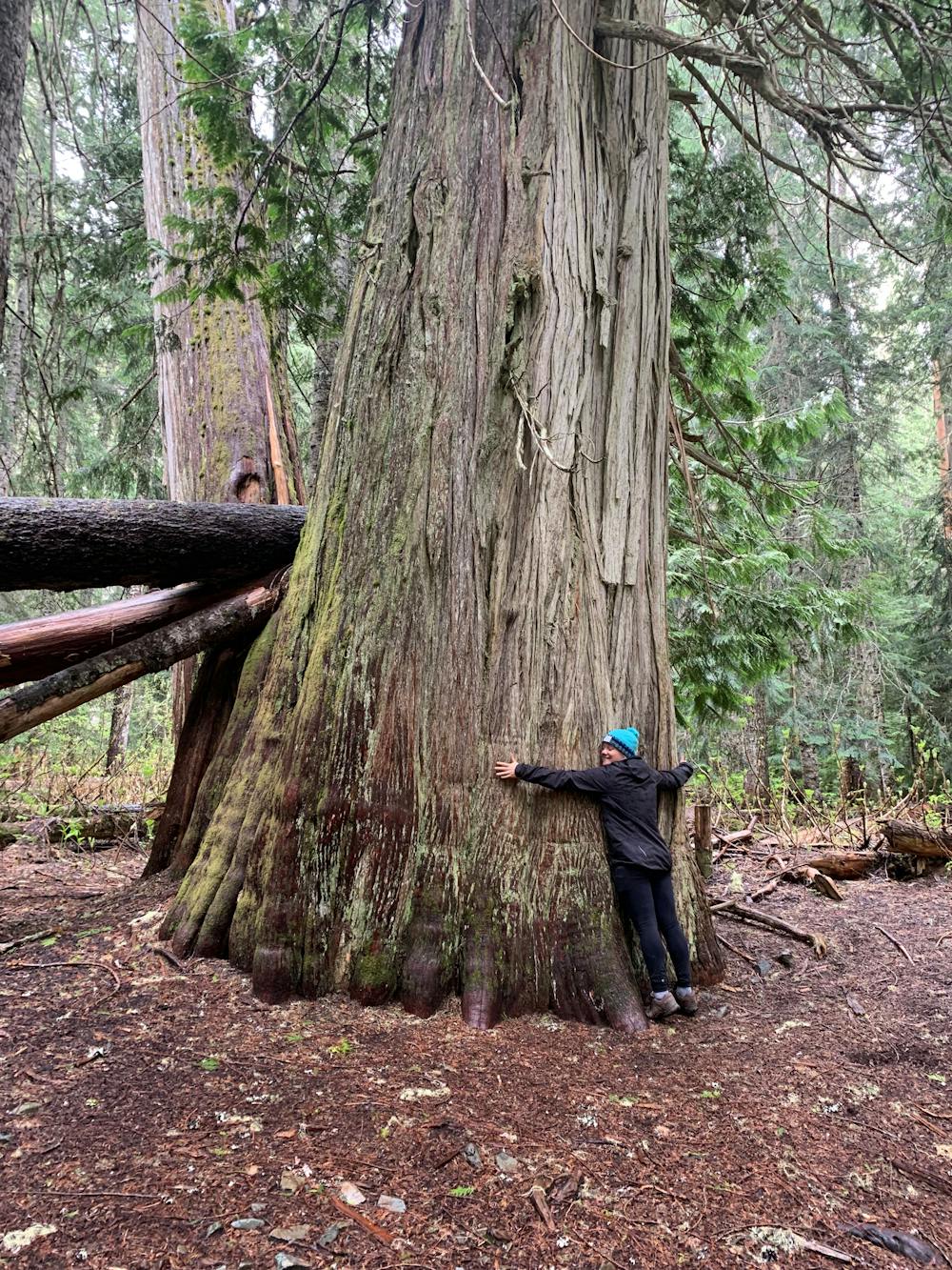
1000+ year old trees hidden in a micro-ecosystem on Cougar Mountain
Hiking Moderate

This is an easy, well-marked trail that's perfect for a rainy day in Whistler. This hike will reward you with a stunning old-growth forest filled with 1000+-year-old cedar trees.
The difficulty of this trail lies in getting to the trailhead itself. Although it's a well-trafficked FSR, the road is rarely ever graded, so it requires medium/high clearance and some careful pothole avoidance.
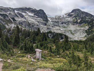
The trailhead is approximately 4.5km up the Cougar Mountain FSR. Once there, there is easy parking, an outhouse, and the obvious trailhead.
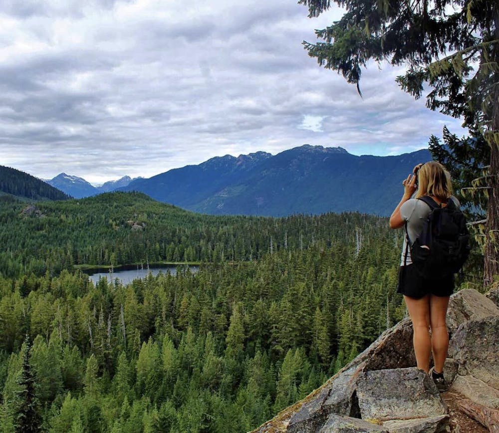
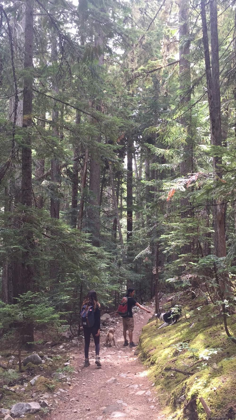
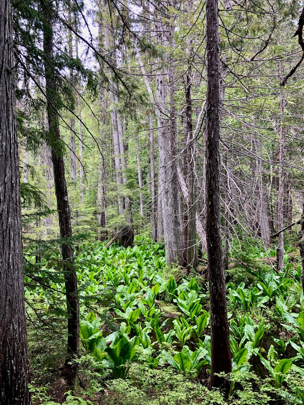
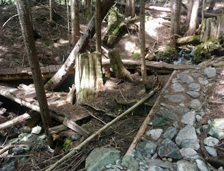
The trail itself is in good condition and is mostly cleared, with only the occasional steep, rooty, or rocky section. After approximately 45 minutes of walking through new-growth forest, you will reach an unused FSR. Go left here and follow the path up following the 'by foot' path. Once up and around the corner, the path continues, passing a lookout. It's worth taking the short detour here as you get amazing views over Showh Lake and out towards the Soo Valley. There are a couple more lookouts further on that look at the cascading stream - but be careful with your footing!!
It's not much further, and you'll reach the Ancient Cedars loop. Follow the trail in an anti/counter-clockwise direction to get the most of the informative signage about the history of the area and why and how the trees in this zone got to be as big as they are.
Stay on the trail as there is lots of Devil's Club (a prickly plant covered in thorns)! The loop takes you past the most impressive trees and a small stream before linking you back on the trail you arrived on.
Follow the trail back to the parking. The old FSR does eventually lead back to the parking too, but it's not advised as it is steep, and has loose rocks and ATV traffic.
Be warned: although this is a great rainy-day shoulder season option, the bugs can be bad! Take plenty of spray! Cell service is in and out.
Moderate
Hiking along trails with some uneven terrain and small hills. Small rocks and roots may be present.

The path is on completely flat land and potential injury is limited to falling over.

Away from help but easily accessed.
4.5 km away
A classic Whistler hike with stunning views, dense forests, wildlife, waterfalls and an alpine lake as your destination.
Difficult Hiking
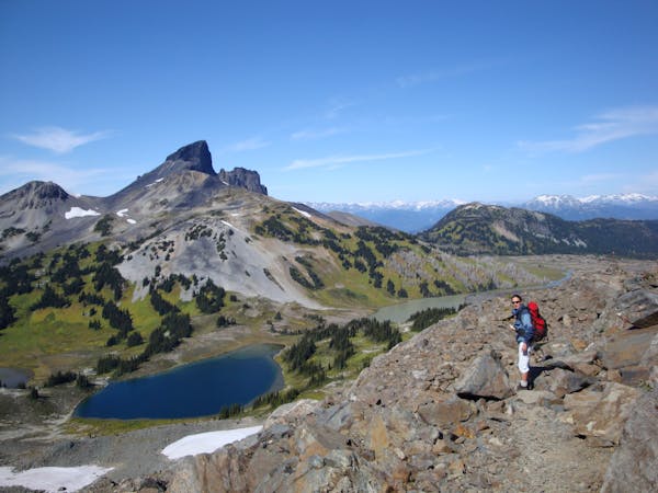
6.2 km away
One of Whistler's classic trails.
Difficult Hiking
7.3 km away
A stunning glacial lake rewards after a tough, steep hike
Severe Hiking
7.4 km away
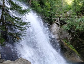
A shorter loop hike in Whistler with spectacular views of Rainbow Falls.
Easy Hiking
7.4 km away
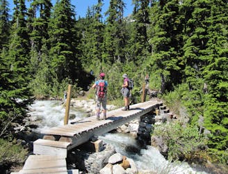
Gradual uphill hike through diverse forest, past a waterfall, to an alpine lake just outside Whistler.
Moderate Hiking
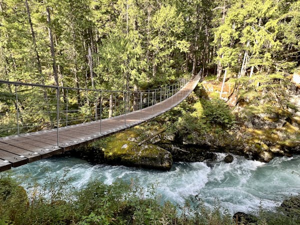
8.3 km away
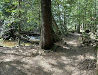
Off-the-track path through the woods and along the stream, steps from Whistler's town centre
Moderate Hiking
8.4 km away

The easiest singletrack trails in Whistler.
Moderate Hiking
8.4 km away
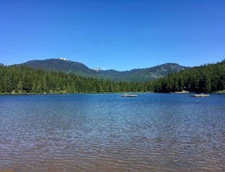
Hike along a flat gravel path to a beautiful swimming lake.
Easy Hiking
9.1 km away
A popular backpacking route with options to form a loop and camping options along Russet Lake.
Difficult Hiking
10 routes · Hiking

6 routes · Hiking
18 routes · Hiking