1.3 km away
Kill Me Thrill Me
One of Whistler's classic trails.
Difficult Hiking
- Distance
- 11 km
- Ascent
- 416 m
- Descent
- 416 m
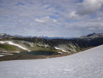
A stunning glacial lake rewards after a tough, steep hike
Hiking Severe

If you've already ticked off the Garibaldi and Joffre Lakes hikes and are looking for a more challenging adventure in the Whistler area (or just want to avoid the crowds), then Wedgemount Lake might be just what you're looking for. You can complete it in a day, or choose to camp overnight (reservations required).
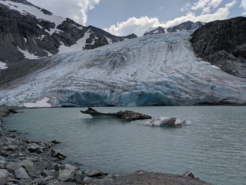

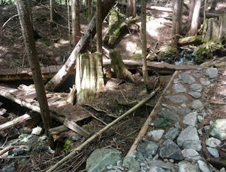
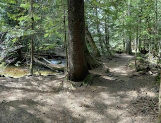
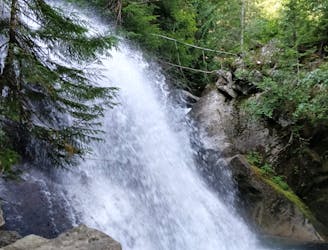
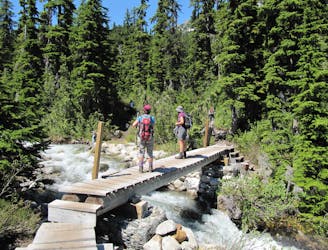
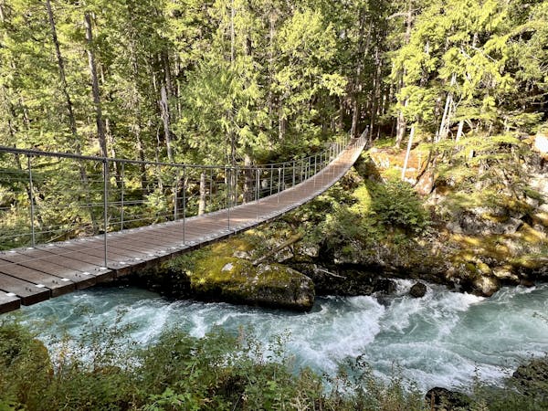
This tough ascent (gaining over 1100m) starts gently enough, crossing Wedge Creek with two bridges. It soon kicks up a gear, though, as the trail climbs through the forest. This continues until a rockslide area at approximately the halfway point. Keep an eye out for Wedgemount Waterfall on your right as you re-enter the forest and continue higher up. The final section before the trail crests over to Wedgemount Lake is particularly steep and may involve some scrambling on all fours.
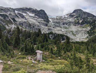
Above the lake is a small (but dark) cabin and toilet. There are also 20 very scenic campsites beside the lake. Reservations are required, see: http://www.env.gov.bc.ca/bcparks/explore/parkpgs/garibaldi/wedgemt.html . Depending on the weather conditions and how brave you're feeling, a dip in the beautiful lake might prove refreshing!
For experienced scrambles and mountaineers, numerous options exist beyond Wedgemount Lake. The North Arete of Wedge Mountain is a classic route.
Severe
Hiking challenging trails where simple scrambling, with the occasional use of the hands, is a distinct possibility. The trails are often filled with all manner of obstacles both small and large, and the hills are very steep. Obstacles and challenges are often unexpected and can be unpredictable.

The trail contains some obstacles such as outcroppings and rock which could cause injury.
Away from help but easily accessed.
1.3 km away
One of Whistler's classic trails.
Difficult Hiking
7.3 km away
1000+ year old trees hidden in a micro-ecosystem on Cougar Mountain
Moderate Hiking
7.8 km away
A classic Whistler hike with stunning views, dense forests, wildlife, waterfalls and an alpine lake as your destination.
Difficult Hiking
8.4 km away
Off-the-track path through the woods and along the stream, steps from Whistler's town centre
Moderate Hiking
8.6 km away

The easiest singletrack trails in Whistler.
Moderate Hiking
8.6 km away
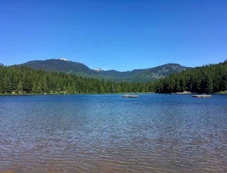
Hike along a flat gravel path to a beautiful swimming lake.
Easy Hiking
8.9 km away
Linkup of all the best hiking trails on Blackcomb Mountain.
Moderate Hiking
9.2 km away
A popular backpacking route with options to form a loop and camping options along Russet Lake.
Difficult Hiking
10 km away
A shorter loop hike in Whistler with spectacular views of Rainbow Falls.
Easy Hiking
10 km away
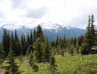
Gradual uphill hike through diverse forest, past a waterfall, to an alpine lake just outside Whistler.
Moderate Hiking
10 routes · Hiking
6 routes · Hiking
18 routes · Hiking