1.3 km away
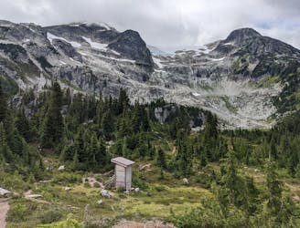
Wedgemount Lake
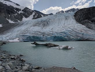
A stunning glacial lake rewards after a tough, steep hike
Severe Hiking
- Distance
- 11 km
- Ascent
- 1.2 km
- Descent
- 1.2 km
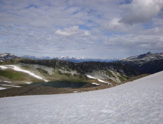
One of Whistler's classic trails.
Hiking Difficult

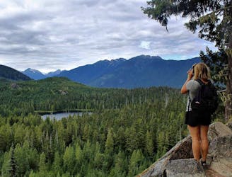
Kill Me Thrill Me is a true classic Whistler trail, and over the years its appeal has faded little.
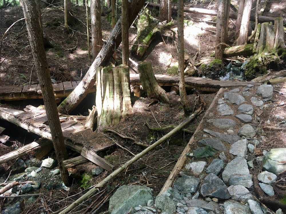
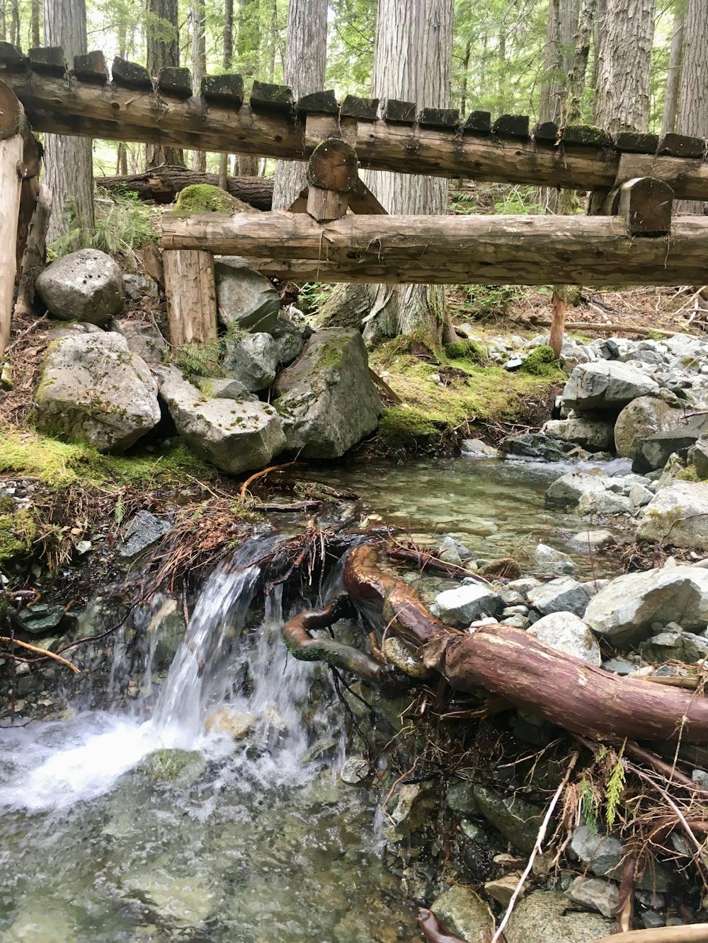
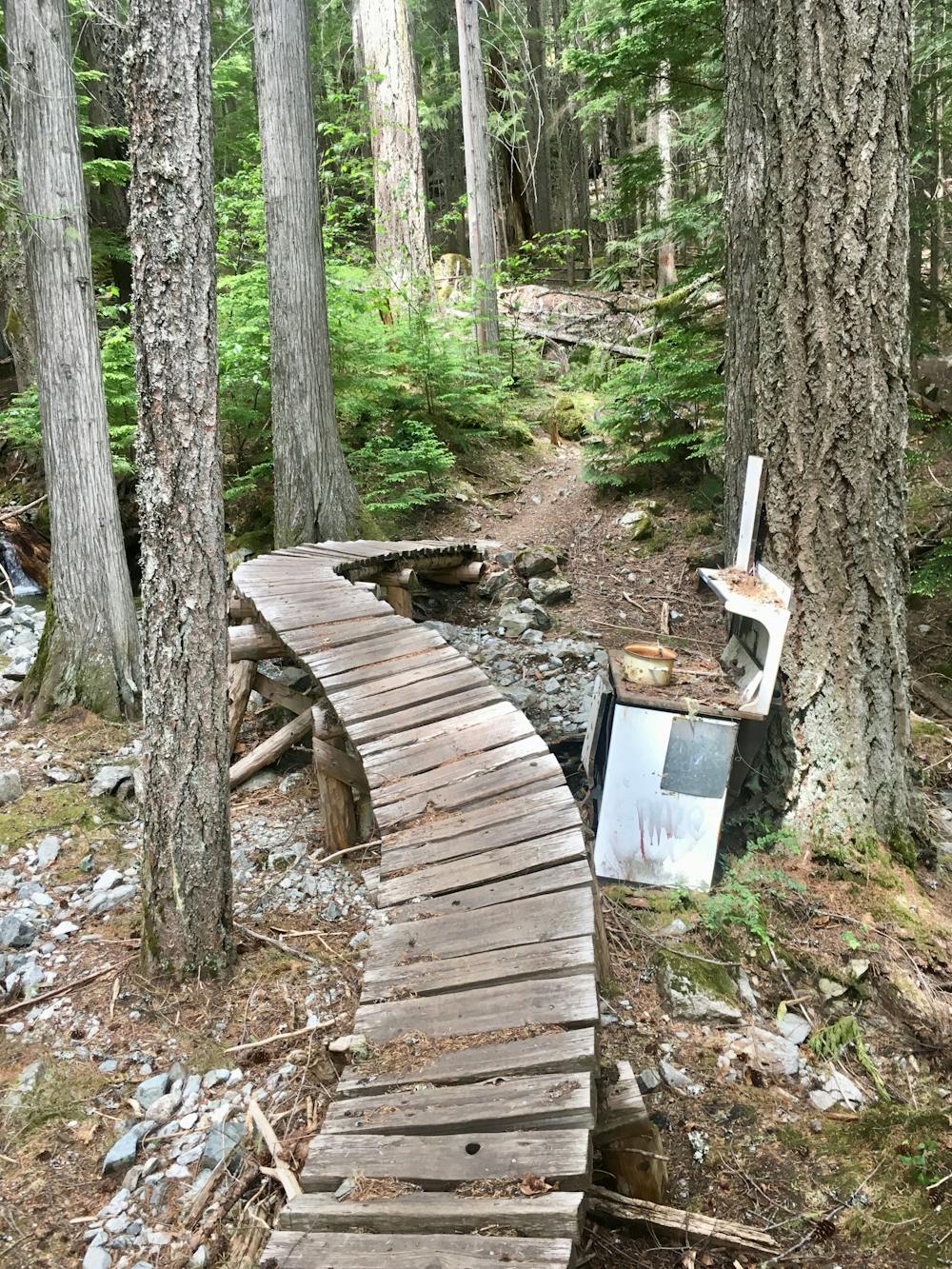
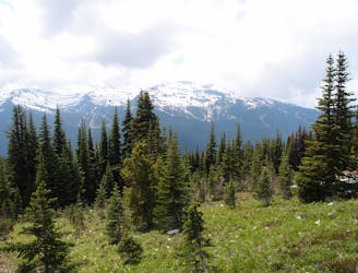
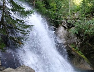
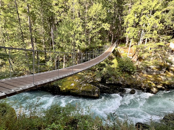
Kill Me Thrill Me is an up-and-down singletrack trail interspersed with big rock slabs. The trail roughly contours along the hillside above the highway, dipping in and out of deep valleys with rushing mountain streams. As you drop into the stream valleys, you can feel the air getting cooler as you leave the direct sunlight behind and enter the dark, forgotten mountainside hideaways.
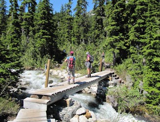
Along the way, entertaining bridges provide picturesque stream crossings, and excellent bench cut singletrack makes for a delightfully flowy trail. At times, the trail does point straight up the mountainside, but inevitably these steep climbs are followed with sweet descents.
This hike is best done as either a point-to-point shuttle coordinated along the nearby highway, or as an out-and-back hike. You can theoretically hike out-and-back from either end of the route. The direction mapped here begins at the low point and climbs up a steep cascade of rock slabs beneath the power lines to begin before ducking deeper into the trees. If you start at the other end, you will access the more picturesque sections of deep forest earlier on… but it might be best to turn around before descending the slabs below the powerline.
However you choose to do it, Kill Me Thrill Me provides an easily-accessible escape to the forest!
Difficult
Hiking trails where obstacles such as rocks or roots are prevalent. Some obstacles can require care to step over or around. At times, the trail can be worn and eroded. The grade of the trail is generally quite steep, and can often lead to strenuous hiking.

The trail contains some obstacles such as outcroppings and rock which could cause injury.

Close to help in case of emergency.
1.3 km away
A stunning glacial lake rewards after a tough, steep hike
Severe Hiking
6.2 km away
1000+ year old trees hidden in a micro-ecosystem on Cougar Mountain
Moderate Hiking
7.2 km away
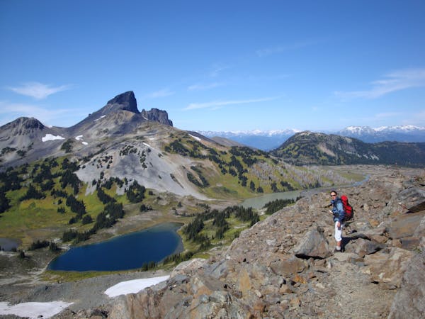
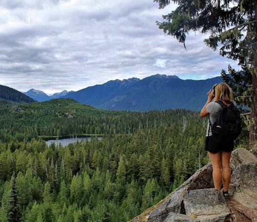
A classic Whistler hike with stunning views, dense forests, wildlife, waterfalls and an alpine lake as your destination.
Difficult Hiking
8.5 km away
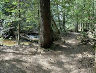
Off-the-track path through the woods and along the stream, steps from Whistler's town centre
Moderate Hiking
8.7 km away
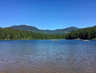
Hike along a flat gravel path to a beautiful swimming lake.
Easy Hiking
8.7 km away

The easiest singletrack trails in Whistler.
Moderate Hiking
9.3 km away
A popular backpacking route with options to form a loop and camping options along Russet Lake.
Difficult Hiking
9.6 km away
Linkup of all the best hiking trails on Blackcomb Mountain.
Moderate Hiking
9.7 km away
A shorter loop hike in Whistler with spectacular views of Rainbow Falls.
Easy Hiking
9.7 km away
Gradual uphill hike through diverse forest, past a waterfall, to an alpine lake just outside Whistler.
Moderate Hiking
10 routes · Hiking
6 routes · Hiking
18 routes · Hiking