2.5 km away
Whistler Alpine: Harmony Lake -> Musical Bumps -> High Note

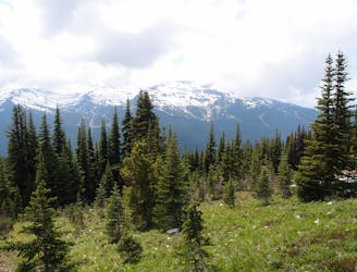
Explore the alpine meadows, pristine lakes & rugged peaks of Whistler on this picturesque 10km route.
Difficult Hiking
- Distance
- 11 km
- Ascent
- 845 m
- Descent
- 497 m
A connecting trail.
Hiking Easy

This is a popular hiking route which is generally considered to be easy. It's an unknown remoteness, it features unknown exposure and is typically done in an unknown time of year. From a low point of 1.9 km to the maximum altitude of 2.1 km, the route covers 1.6 km, 196 vertical metres of ascent and 2 vertical metres of descent.
This connecting trail allows for numerous variations of the main hiking trails, high note and half note trail.
Easy
Walking along a well-kept trail that’s mostly flat. No obstacles are present.
2.5 km away
Explore the alpine meadows, pristine lakes & rugged peaks of Whistler on this picturesque 10km route.
Difficult Hiking
2.6 km away
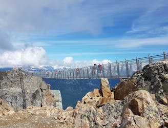
A classic hike atop Whistler Peak that utilizes the Peak Express Lift to form a loop known for its endless views.
Moderate Hiking
2.6 km away
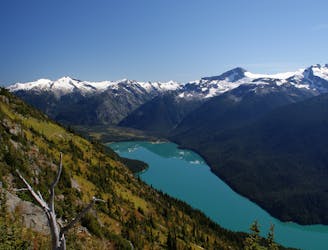
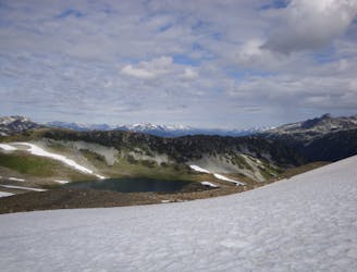
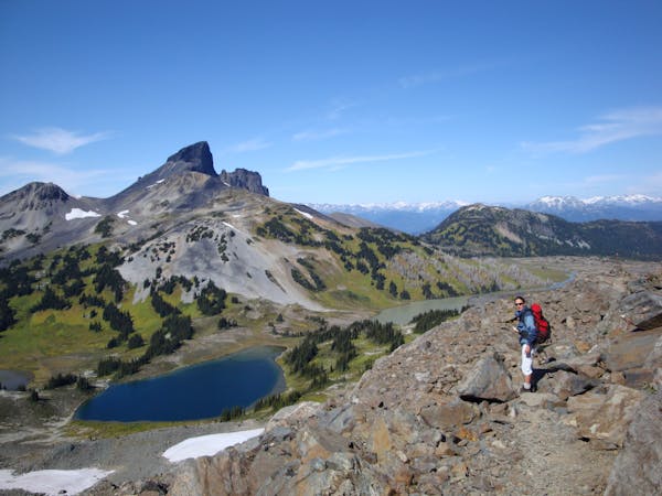
Hike from Whistler Resort through mountain meadows along an eye-popping ridgeline, to a small lake tucked high in the alpine.
Difficult Hiking
4.1 km away
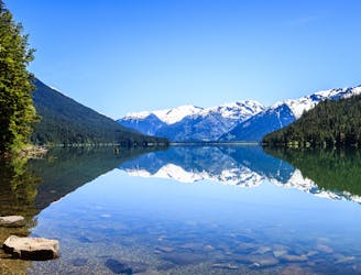
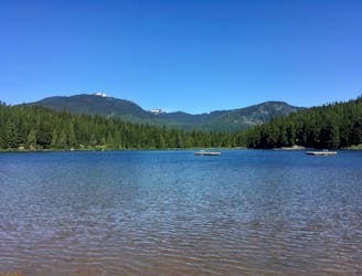
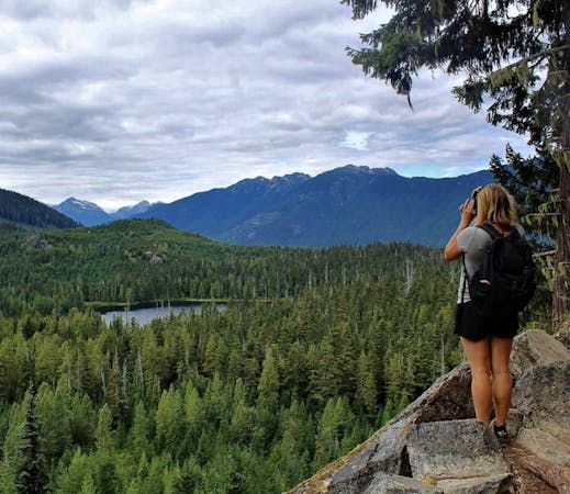
Walk among huge trees to a milky blue lake with swim spots and campsites in Garibaldi Provincial Park.
Moderate Hiking
4.1 km away
A 1-2 day extension to the Rubble-Helm Circuit
Extreme Hiking
5.9 km away
Linkup of all the best hiking trails on Blackcomb Mountain.
Moderate Hiking
7.4 km away
A popular backpacking route with options to form a loop and camping options along Russet Lake.
Difficult Hiking
8 km away

The easiest singletrack trails in Whistler.
Moderate Hiking
8 km away
Hike along a flat gravel path to a beautiful swimming lake.
Easy Hiking
8.1 km away
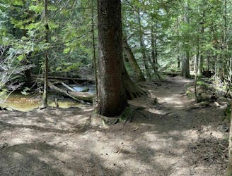
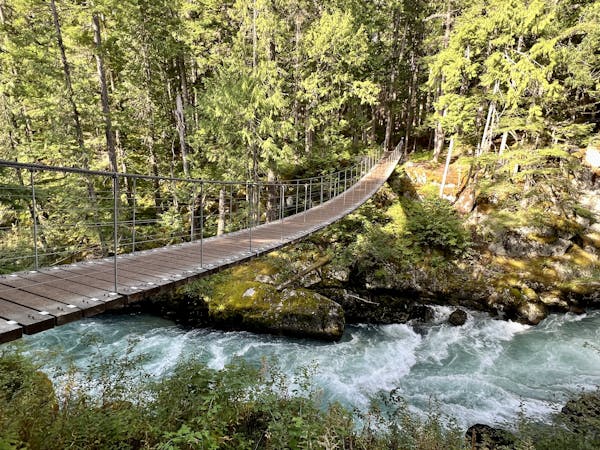
Off-the-track path through the woods and along the stream, steps from Whistler's town centre
Moderate Hiking
10 routes · Hiking
6 routes · Hiking
18 routes · Hiking