30 m away
Hollyburn-Strachan Loop
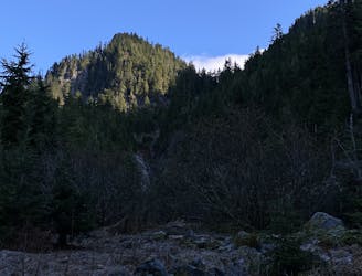
Challenging North Shore Hike
Difficult Hiking
- Distance
- 13 km
- Ascent
- 876 m
- Descent
- 876 m
Follows the Nordic Skiing Route
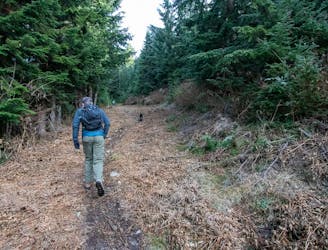
Hiking Easy

This is a popular hiking route which is generally considered to be easy. It's not remote, it features low exposure and is typically done between June and September. From a low point of 875 m to the maximum altitude of 944 m, the route covers 4.1 km, 114 vertical metres of ascent and 114 vertical metres of descent.
Fill in
Easy
Walking along a well-kept trail that’s mostly flat. No obstacles are present.

The path is on completely flat land and potential injury is limited to falling over.
Close to help in case of emergency.
30 m away
Challenging North Shore Hike
Difficult Hiking
138 m away
A moderate hike with excellent view over Vancouver and the Salish Sea
Moderate Hiking
2 km away

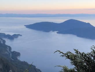
Popular hike with scenic views over Howe Sound
Moderate Hiking
2.2 km away
Local classic to take in a beautiful Howe Sound sunset
Moderate Hiking

6 routes · Hiking

3 routes · Hiking