125 m away
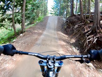
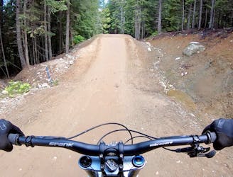
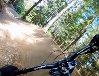
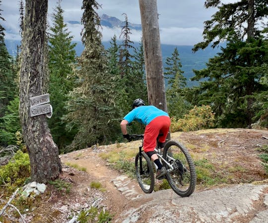
B-Line
A great warmup run, or a run for training flow trail skills.
Moderate Mountain Biking
- Distance
- 2.8 km
- Ascent
- 0 m
- Descent
- 335 m
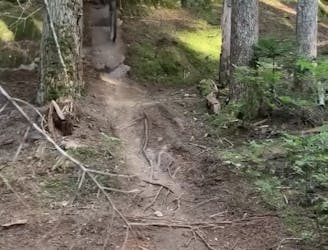
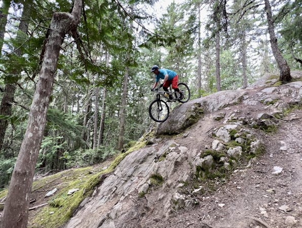
A short trail featuring 2 stout rock rolls.
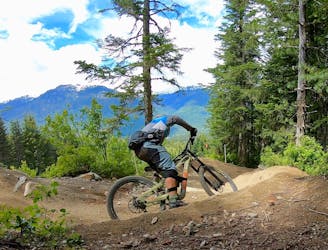
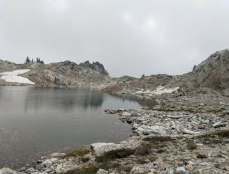
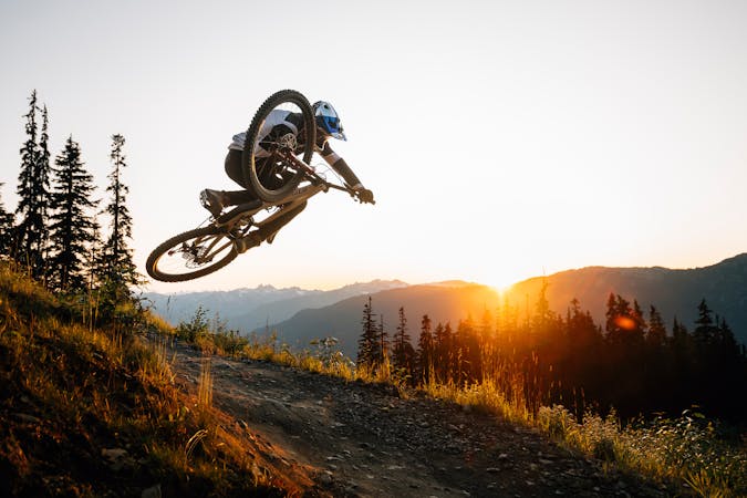
Mountain Biking Extreme

This is a popular mountain biking route which is generally considered to be extreme. It's an unknown remoteness, it features unknown exposure and is typically done in an unknown time of year. From a low point of 985 m to the maximum altitude of 1 km, the route covers 106 m, 0 vertical metres of ascent and 24 vertical metres of descent.
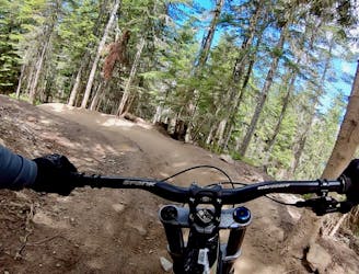
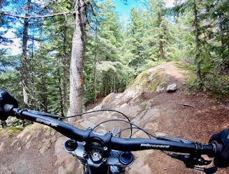
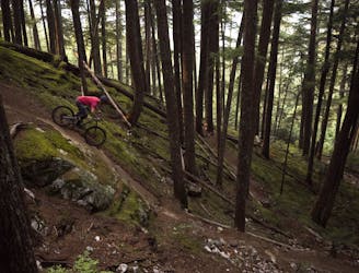
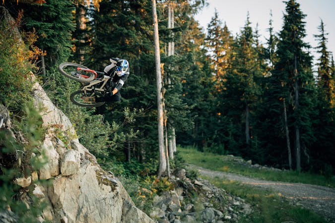
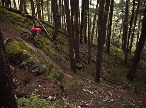
French Connection is a short connector between Upper Joyride and Upper Whistler Downhill. It starts with two rowdy committing, super steep rock rolls. If you are a stout master they can be dropped. After this, the trail eases off and has some fun steep rock/root sections to rip.
Extreme
Very steep, difficult, narrow singletrack with widely variable and unpredictable trail conditions. Unavoidable obstacles could be 15in/38cm tall or greater, and unavoidable obstacles with serious consequences are likely to be present. Obstacles could include big rocks, difficult root sections, drops, jumps, sharp switchbacks, and more. Ideal for expert-level riders.
125 m away
A great warmup run, or a run for training flow trail skills.
Moderate Mountain Biking
125 m away
An excellent "intermediate" tech trail combination.
Difficult Mountain Biking
138 m away
The everyman jump line in the Whistler Bike Park that will keep riders coming back for more!
Difficult Mountain Biking
207 m away
The most famous mountain bike trail in the world!
Severe Mountain Biking
424 m away
If you’re tired of going big on the tabletop jumps and want to introduce a little gnar into your life, head for Angry Pirate!
Severe Mountain Biking
462 m away
A natural option while riding Crank It Up, the jumps on C-More are a bit bigger and a bit lippier.
Difficult Mountain Biking
1.4 km away
Rowdy EWS race route on Blackcomb Mountain.
Extreme Mountain Biking
1.7 km away
The trail of all trails!!! Created by a genius.
Severe Mountain Biking
1.7 km away
Epic intermediate loop from Whistler Valley to Mt Sproatt and back.
Difficult Mountain Biking
1.9 km away
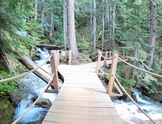
A beautiful flow line that crosses rushing mountain streams.
Difficult Mountain Biking
14 routes · Mountain Biking
72 routes · Mountain Biking
5 routes · Mountain Biking

16 routes · Mountain Biking
5 routes · Mountain Biking
5 routes · Mountain Biking
7 routes · Mountain Biking
9 routes · Mountain Biking
10 routes · Mountain Biking
14 routes · Mountain Biking