574 m away
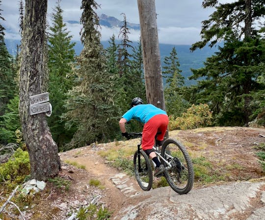
Into the Mystic -> Lord of the Squirrels
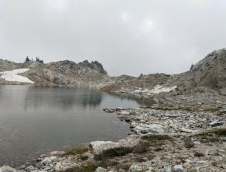
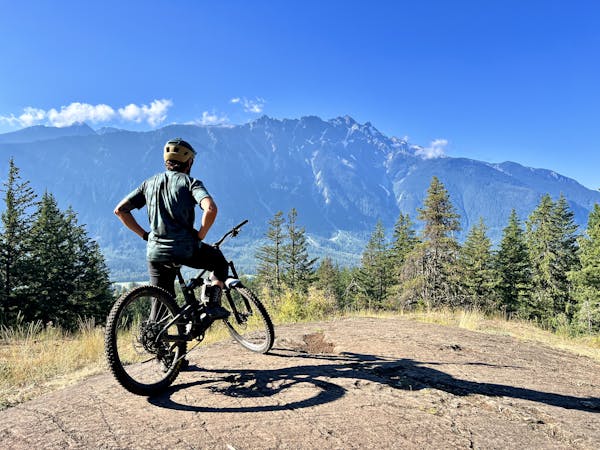
Epic intermediate loop from Whistler Valley to Mt Sproatt and back.
Difficult Mountain Biking
- Distance
- 41 km
- Ascent
- 1.6 km
- Descent
- 1.6 km

This is a popular mountain biking route which is generally considered to be severe. It's an unknown remoteness, it features unknown exposure and is typically done in an unknown time of year. From a low point of 707 m to the maximum altitude of 729 m, the route covers 120 m, 0 vertical metres of ascent and 21 vertical metres of descent.
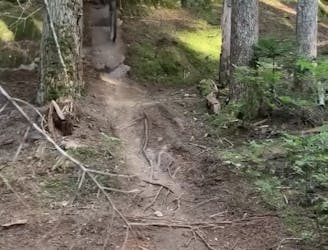
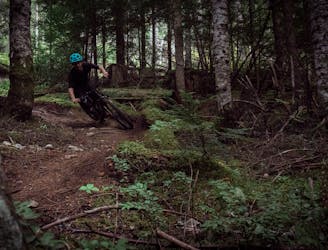
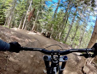
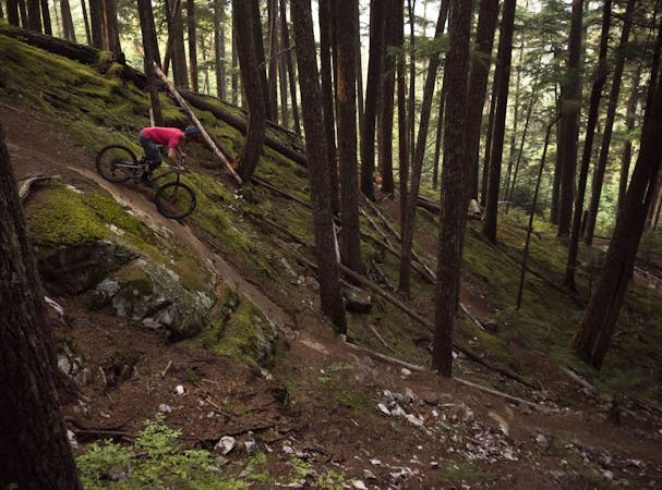
Hornet bashes down a steep cambered section of rocky terrain, through closely packed trees. It links A-Line Lower to Easy Does It. You will accidently end up on this if you ride A-Line enough.
Severe
Widely variable, narrow trail tread with steeper grades and unavoidable obstacles of 15in/38cm tall or less. Obstacles may include unavoidable bridges 24in/61cm wide or less, large rocks, gravel, difficult root sections, and more. Ideal for advanced-level riders.
574 m away
Epic intermediate loop from Whistler Valley to Mt Sproatt and back.
Difficult Mountain Biking
634 m away
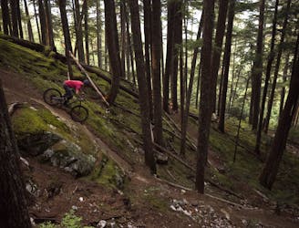
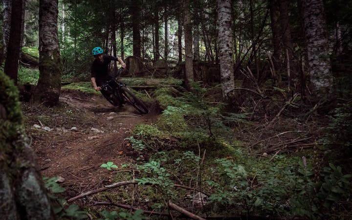
The trail of all trails!!! Created by a genius.
Severe Mountain Biking
828 m away
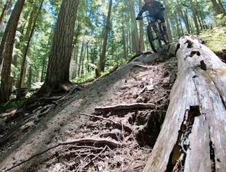
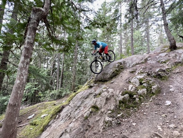
A natural option while riding Crank It Up, the jumps on C-More are a bit bigger and a bit lippier.
Difficult Mountain Biking
850 m away
Classic Enduro stage on Blackcomb Mountain.
Difficult Mountain Biking
852 m away
A true Blackcomb Classic.
Severe Mountain Biking
913 m away
Rowdy EWS race route on Blackcomb Mountain.
Extreme Mountain Biking
1.1 km away
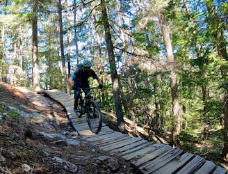
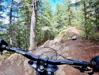
Fantastic deep, dark singletrack and steep rock slabs make Micro Climate a local favorite.
Severe Mountain Biking
1.1 km away
The easiest singletrack trails in Whistler.
Difficult Mountain Biking
1.3 km away
A great warmup run, or a run for training flow trail skills.
Moderate Mountain Biking
1.3 km away
An excellent "intermediate" tech trail combination.
Difficult Mountain Biking
14 routes · Mountain Biking
72 routes · Mountain Biking

16 routes · Mountain Biking
5 routes · Mountain Biking
5 routes · Mountain Biking
7 routes · Mountain Biking
9 routes · Mountain Biking
10 routes · Mountain Biking
14 routes · Mountain Biking