681 m away
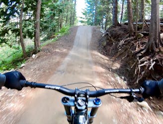
Angry Pirate
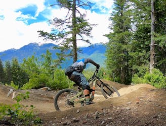
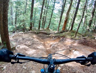
If you’re tired of going big on the tabletop jumps and want to introduce a little gnar into your life, head for Angry Pirate!
Severe Mountain Biking
- Distance
- 2.3 km
- Ascent
- 0 m
- Descent
- 341 m
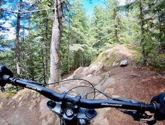
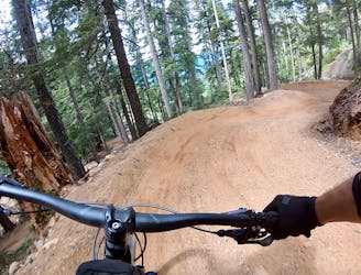
Tight, technical and steep!
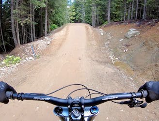
Mountain Biking Extreme

This is a popular mountain biking route which is generally considered to be extreme. It's an unknown remoteness, it features unknown exposure and is typically done in an unknown time of year. From a low point of 1.1 km to the maximum altitude of 1.1 km, the route covers 194 m, 0 vertical metres of ascent and 40 vertical metres of descent.
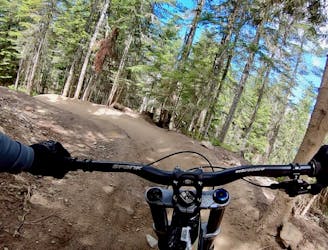
For those tech fiends out there, this will be the trail for you. It is steep, tight and laced with bedrock. There are a number of big moves on this trail. One down a stout, tight narrow ridge and two others ending with wooden features. Use Freight Train to access this trail.
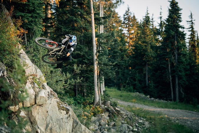
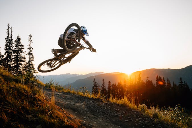
Extreme
Very steep, difficult, narrow singletrack with widely variable and unpredictable trail conditions. Unavoidable obstacles could be 15in/38cm tall or greater, and unavoidable obstacles with serious consequences are likely to be present. Obstacles could include big rocks, difficult root sections, drops, jumps, sharp switchbacks, and more. Ideal for expert-level riders.
681 m away
If you’re tired of going big on the tabletop jumps and want to introduce a little gnar into your life, head for Angry Pirate!
Severe Mountain Biking
897 m away
The most famous mountain bike trail in the world!
Severe Mountain Biking
993 m away
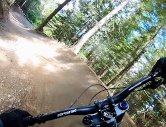
A great warmup run, or a run for training flow trail skills.
Moderate Mountain Biking
993 m away
An excellent "intermediate" tech trail combination.
Difficult Mountain Biking
1 km away
The everyman jump line in the Whistler Bike Park that will keep riders coming back for more!
Difficult Mountain Biking
1.1 km away
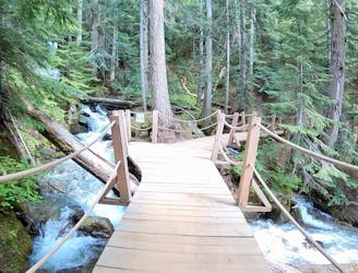
A beautiful flow line that crosses rushing mountain streams.
Difficult Mountain Biking
1.1 km away
A long, varied tech run with a few big features.
Severe Mountain Biking
1.1 km away
New for 2019, this flow line is fresh and fast!
Difficult Mountain Biking
1.1 km away
The Creek Zone's obligatory tech line.
Severe Mountain Biking
1.4 km away
A natural option while riding Crank It Up, the jumps on C-More are a bit bigger and a bit lippier.
Difficult Mountain Biking
72 routes · Mountain Biking
5 routes · Mountain Biking

16 routes · Mountain Biking