327 m away
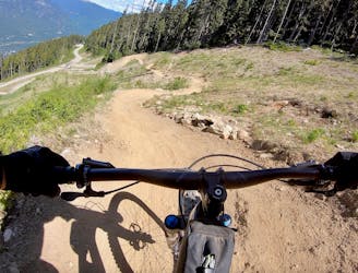
Delayed Fuse -> BC's Trail
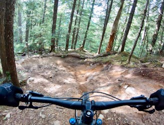
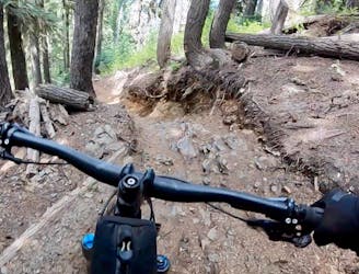
The Creek Zone's obligatory tech line.
Severe Mountain Biking
- Distance
- 4.2 km
- Ascent
- 0 m
- Descent
- 641 m
Mountain Biking Severe

This is a popular mountain biking route which is generally considered to be severe. It's an unknown remoteness, it features unknown exposure and is typically done in an unknown time of year. From a low point of 1.3 km to the maximum altitude of 1.3 km, the route covers 650 m, 0 vertical metres of ascent and 87 vertical metres of descent.
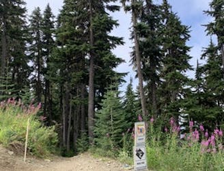
CLOSED SUMMER 2022
Severe
Widely variable, narrow trail tread with steeper grades and unavoidable obstacles of 15in/38cm tall or less. Obstacles may include unavoidable bridges 24in/61cm wide or less, large rocks, gravel, difficult root sections, and more. Ideal for advanced-level riders.
327 m away
The Creek Zone's obligatory tech line.
Severe Mountain Biking
327 m away
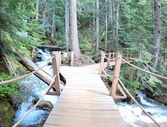
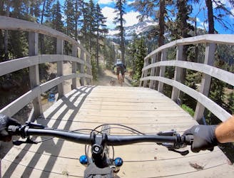
A beautiful flow line that crosses rushing mountain streams.
Difficult Mountain Biking
327 m away
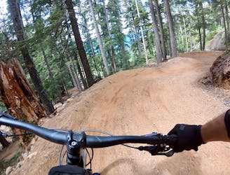
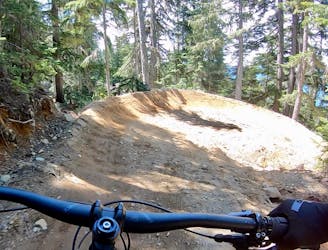
New for 2019, this flow line is fresh and fast!
Difficult Mountain Biking
327 m away
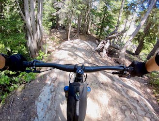
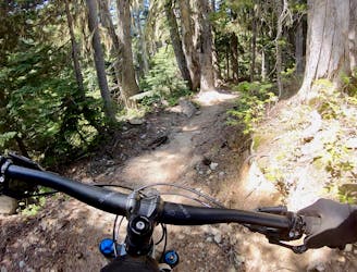
A long, varied tech run with a few big features.
Severe Mountain Biking
605 m away
A new tech line in the Whistler Bike Park that is remarkably flowy.
Severe Mountain Biking
726 m away
New Creekside Trail (2020)
Moderate Mountain Biking
1 km away
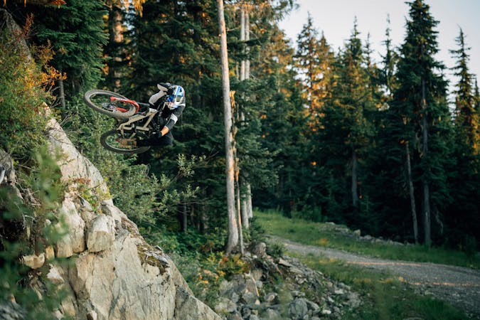
A demanding expert-level jump line in the Garbanzo Zone.
Severe Mountain Biking
1 km away
A steep black diamond romp through the Garbanzo Zone, that also accesses the top of the Creekside Gondola.
Severe Mountain Biking
1 km away
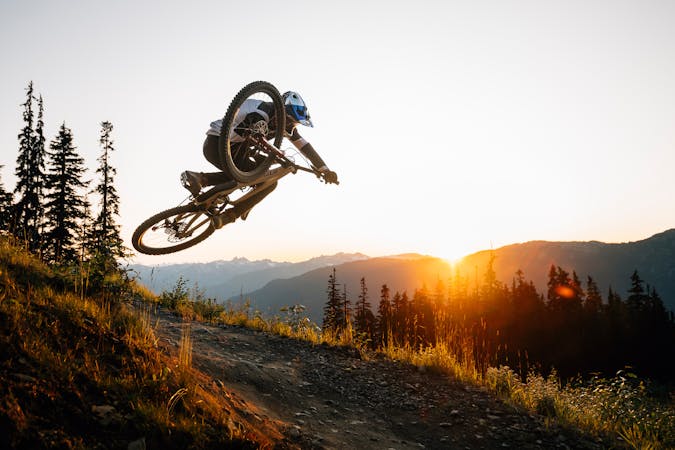
A varied tech trail with eroded fall line singletrack and massive rock rolls.
Severe Mountain Biking
1 km away
One of the best all-around trails in the Whistler Bike Park.
Difficult Mountain Biking

25 routes · Mountain Biking
72 routes · Mountain Biking
5 routes · Mountain Biking

25 routes · Mountain Biking