122 m away
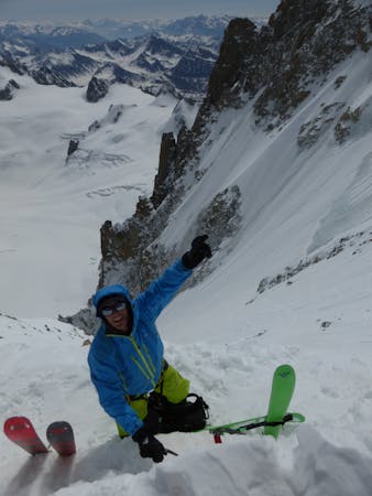
Poubelles Couloir, Aiguille Du Midi

Almost never in condition, a short but steep ski through rocks leads to the glacier.
Extreme Freeride Skiing
- Distance
- 325 m
- Ascent
- 0 m
- Descent
- 214 m
Very steep, serious and extreme skiing, accessible with 3 long rappels.
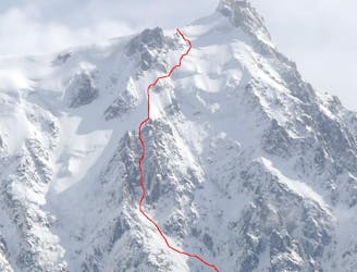
Freeride Skiing Extreme

Very steep and extreme skiing, accessible with 3 long committing rappels. Start this extreme run by first making three airy and committing 60 meter rappels from the bridge which divides the 2 sections of the Aiguille du midi lift station. Once in the couloir itself the skiing is very steep and narrow. After the steep section. the couloir backs off slightly and widens before you join the Glacier Rond.
Extreme
Extreme skiing terrain above 45 degrees. These routes are reserved for experienced experts.

In case of a fall, death is highly likely.

In the high mountains or remote conditions, all individuals must be completely autonomous in every situation.
122 m away
Almost never in condition, a short but steep ski through rocks leads to the glacier.
Extreme Freeride Skiing
197 m away

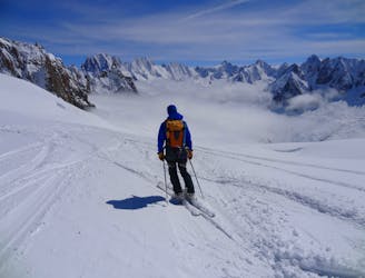
Maybe the most coveted line in the Chamonix valley representing the pinnacle in steep and committing skiing, all with a perfect view of the town of Chamonix.
Extreme Freeride Skiing
231 m away
This highly sought after mountaineering line is perhaps the most aesthetic ski line on the North Face of the Midi.
Extreme Freeride Skiing
300 m away

A traversing section that links the Envers du Plan to the Grand Envers and Requin Hut Couloirs exit.
Difficult Freeride Skiing
300 m away

A steep south facing slope is a great finishing option to the Petit Envers or Envers du Plan.
Difficult Freeride Skiing
300 m away

A highly crevassed variation of the Vallée Blanche which is not often possible due to the state of the glacier.
Difficult Freeride Skiing
300 m away
Highly crevassed but good skiing, this is a step up from the Vallée Blanche both technically and in the seriousness of the glacier.
Difficult Freeride Skiing
300 m away

A variant finish to the Petit Envers to rejoin the Vallee Blanche above the seracs
Difficult Freeride Skiing
300 m away
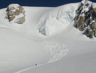
Perhaps the most famous ski descent in the world? Technically moderate but very serious skiing in an absolutely breathtaking setting.
Moderate Freeride Skiing
300 m away
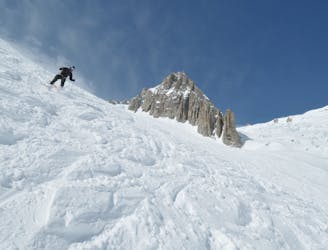
Great skiing links sections of steeper technical terrain with wide open stretches. Perfect for taking in the view.
Severe Freeride Skiing
5 routes · Freeride Skiing · Ski Touring

10 routes · Freeride Skiing

50 routes · Freeride Skiing · Ski Touring
10 routes · Freeride Skiing