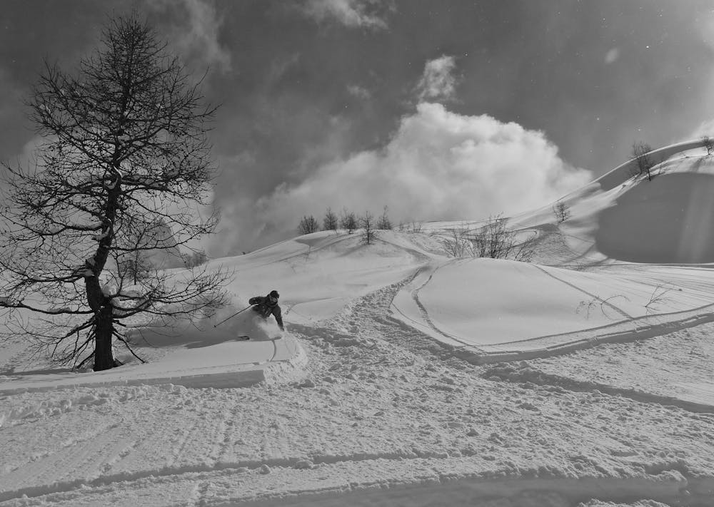
6 m away
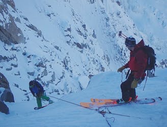
Pre Du Rocher Left
A good descent on wide open slopes, but be warned you pay the price with the exit
Severe Freeride Skiing
- Distance
- 2.6 km
- Ascent
- 7 m
- Descent
- 1.1 km
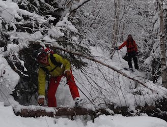
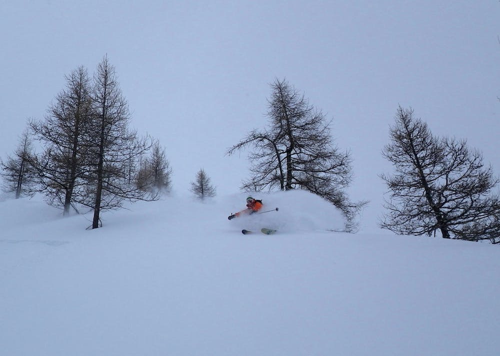
Wild, serious skiing away from the pisted areas in the trees which is often good when visibility is low.
Freeride Skiing Severe

Chamonix doesn't have much tree skiing but this may be some of the best. The terrain is wild and serious and can be hard to navigate. From Plan de l'Aiguille link gullies, bowls and rolling terrain to the head of a large bowl. Follow this into the forest then traverse right into the bed of the gully. After a short pitch traverse left back into the forest. Follow the clearing which then leads you back right and down through open glades to a 4x4 track. This zig zags back to the parking lot. Whilst much of the skiing is in the trees, there is still avalanche risk on the route.
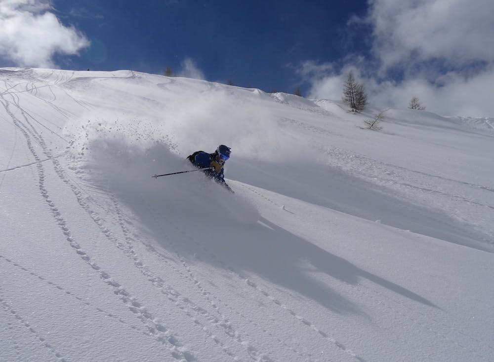
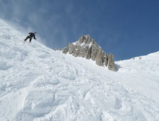
Severe
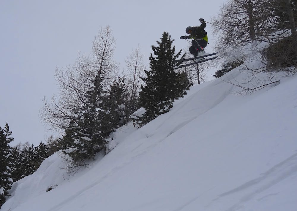
Steep skiing at 38-45 degrees. This requires very good technique and the risk of falling has serious consequences.

As well as the slope itself, there are some obstacles (such as rock outcrops) which could aggravate injury.

In the high mountains or remote conditions, all individuals must be completely autonomous in every situation.
6 m away
A good descent on wide open slopes, but be warned you pay the price with the exit
Severe Freeride Skiing
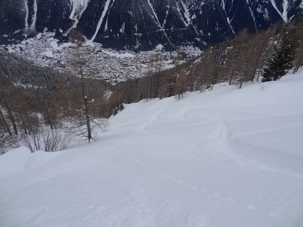
1.7 km away

A great option for skiing to the valley floor after a descent of any of the W or N face routes off the Aiguille du Midi
Difficult Freeride Skiing
2 km away

A series of walking trails makes it possible to ski from the tunnel du Mont Blanc back to chamonix if there is enough snow.
Moderate Freeride Skiing
2.1 km away

Some of the steepest and most serious terrain accessible from a lift anywhere in the world; an undertaking reserved for only the very best skiers.
Extreme Freeride Skiing
2.4 km away
A mega classic that links steep sustained pitches before finishing in the requin hut exits couloirs. Incredidble but very serious skiing.
Severe Freeride Skiing
2.4 km away

The "intro" to the north face of the Midi with an incredible ambiance and surprisingly "freerideable" skiing in the upper section.
Extreme Freeride Skiing
2.4 km away
This is a classic extreme skiing line, not only in Chamonix, but across the Alps. 900 meters of sustained and serious terrain between 40-50 degrees; enough to get anyones heart pumping.
Extreme Freeride Skiing
2.4 km away

A traversing section that links the Envers du Plan to the Grand Envers and Requin Hut Couloirs exit.
Difficult Freeride Skiing
2.4 km away

A steep south facing slope is a great finishing option to the Petit Envers or Envers du Plan.
Difficult Freeride Skiing
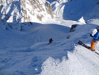
2.4 km away
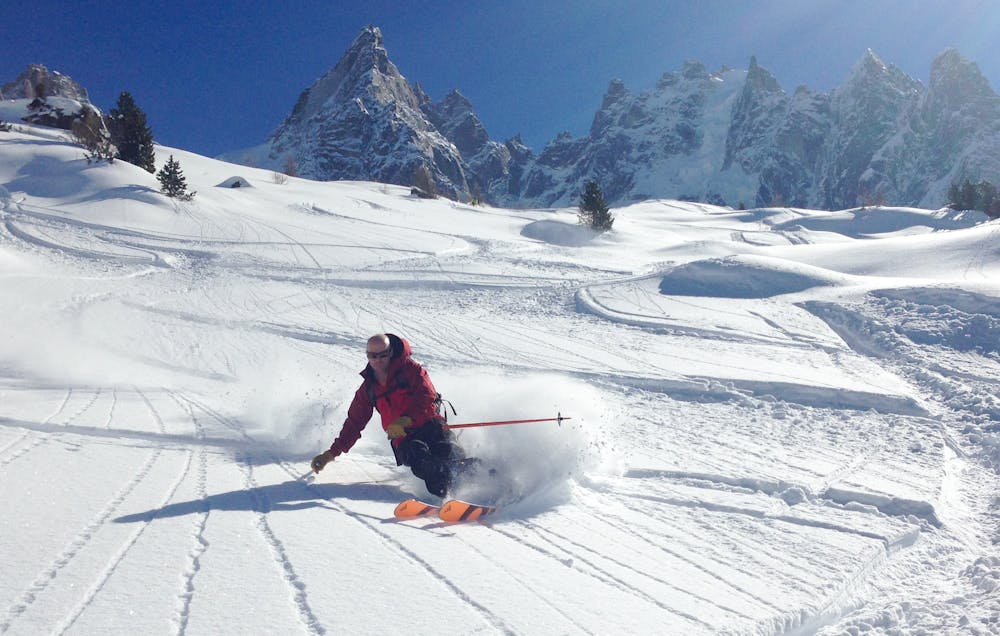
Perhaps the most famous ski descent in the world? Technically moderate but very serious skiing in an absolutely breathtaking setting.
Moderate Freeride Skiing

10 routes · Freeride Skiing

10 routes · Freeride Skiing · Ski Touring

50 routes · Freeride Skiing · Ski Touring

15 routes · Freeride Skiing · Ski Touring
10 routes · Freeride Skiing