1.9 km away
Lac Blanc from La Flegere
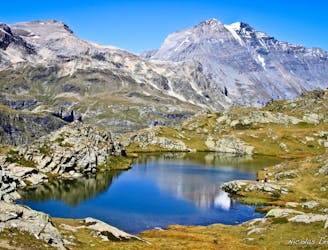
Hike to Lac Blanc from La Flegere on one of Chamonix's most famous hikes!
Difficult Hiking
- Distance
- 6.6 km
- Ascent
- 566 m
- Descent
- 566 m
Beautiful scenic hike with alpine lake views
Hiking Difficult

HIKE DETAILS Total distance is approx. 14km with 1,200m of altitude. We recommend camping the night at Lac des Cheserys and breaking up the hike. Camping is permitted between 7pm-9am.
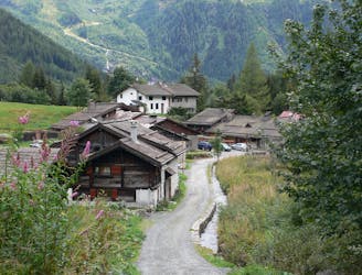
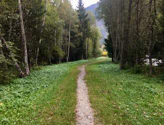
BEGIN AT LA JOUX Start in the village of La Joux which can be reached by the North bound Mont Blanc Express Train.
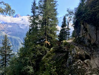
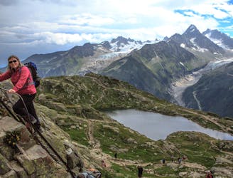
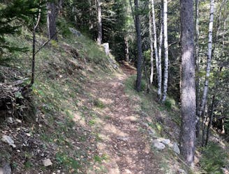
Follow the path uphill and into the forest. Take a left turn at the first waterfall and continue following the signs to La Flégère. Upon reaching La Flégère you will see signs for Lac Blanc that will take you along the very scenic Grand Balcon Sud (Large Southern Balcony).
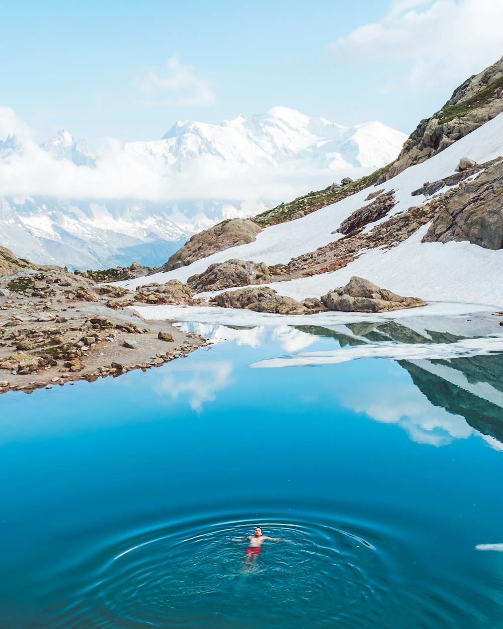
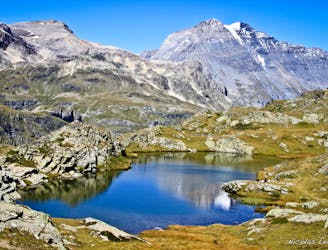
LAC BLANC The view at Lac Blanc is stunning, so grab a drink at the Refuge du Lac Blanc and enjoy. We both took a lovely (very) refreshing dip here too.
LAC DES CHESERYS Continue down the path to Lac des Cheserys, approx 30 minutes. We camped here for the night and watched an incredible sunset and sunrise.
FINISH AT LA JOUX The next day we headed down again, following the signs back to La Flégère and then following our steps back to the La Joux train stop.
Difficult
Hiking trails where obstacles such as rocks or roots are prevalent. Some obstacles can require care to step over or around. At times, the trail can be worn and eroded. The grade of the trail is generally quite steep, and can often lead to strenuous hiking.

The trail contains some obstacles such as outcroppings and rock which could cause injury.
Away from help but easily accessed.
1.9 km away
Hike to Lac Blanc from La Flegere on one of Chamonix's most famous hikes!
Difficult Hiking
1.9 km away
A stunning segment of the TMB following the Grand Balcon Sud trail.
Difficult Hiking
2.3 km away
A tough hike which starts in forests and then brings you out into spectacular, open mountainous terrain.
Moderate Hiking
3.2 km away
A short loop on one of the best sections of the Petit Balcon Sud trail.
Moderate Hiking
3.7 km away
Hike to Lac Blanc from Col des Montets on one of Chamonix's most famous hikes!
Severe Hiking
3.7 km away
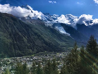
Day 10: The final day of the Tour and with expansive views across the Mont Blanc Massif, this is a fitting end to a great trip.
Difficult Hiking
3.8 km away
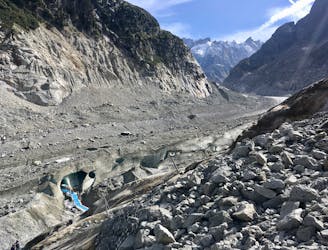
A must-do visit to an ice cave carved in the Mer de Glace glacier.
Easy Hiking
4.8 km away
The easiest hike in Chamonix.
Easy Hiking
5 km away
A classic loop around the Chamonix Valley.
Moderate Hiking
5.2 km away
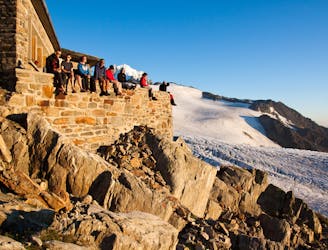
An accessible and beautifully-situated high mountain hut with a number of approaches.
Difficult Hiking

14 routes · Hiking

5 routes · Hiking

12 routes · Hiking

15 routes · Alpine Climbing · Hiking