397 m away
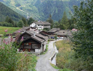
Albert Premier Hut - Charamillon - Long
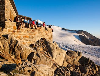
An accessible and beautifully-situated high mountain hut with a number of approaches.
Difficult Hiking
- Distance
- 7.5 km
- Ascent
- 1.2 km
- Descent
- 1.2 km
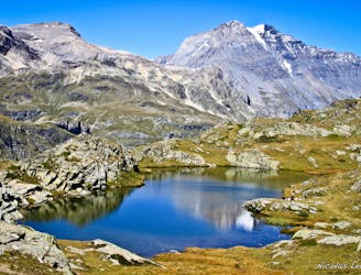
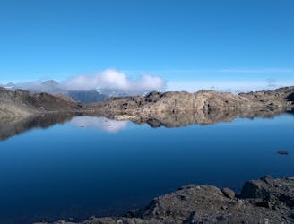
A trip to a rarely visited summit with stunning views of the neighbouring mountains.
Hiking Difficult

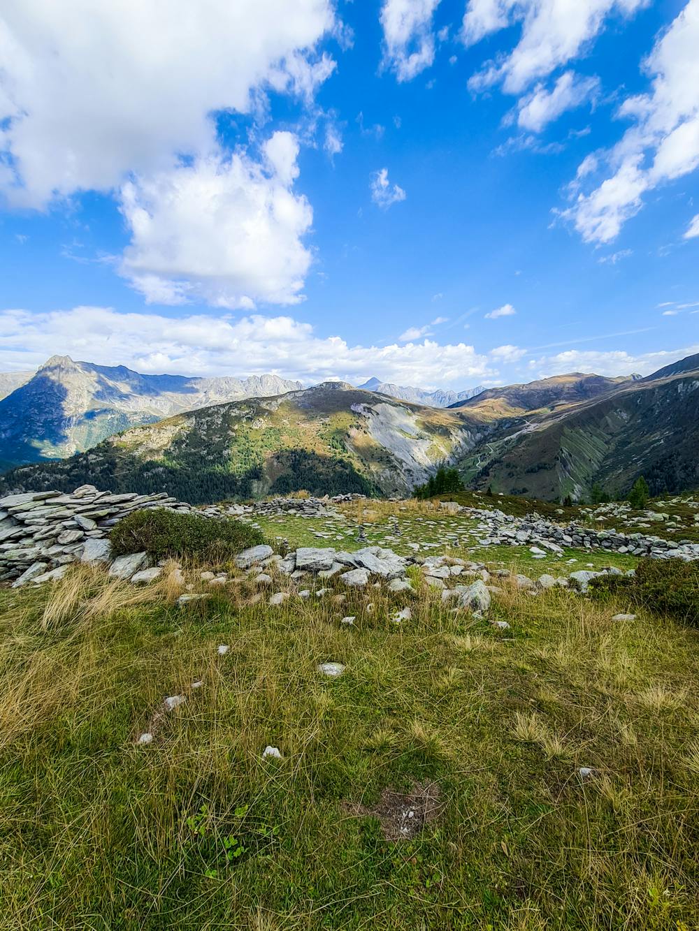
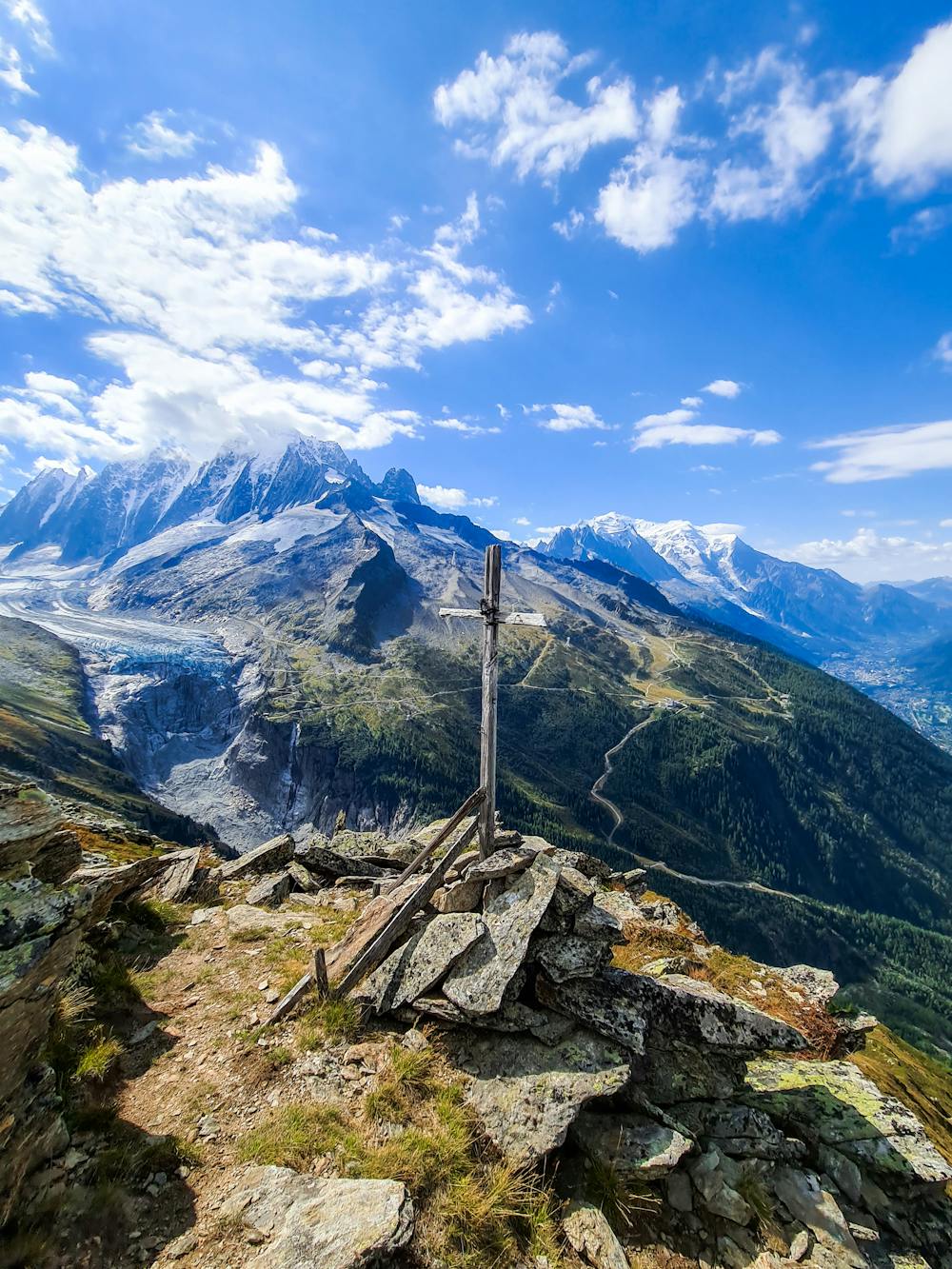
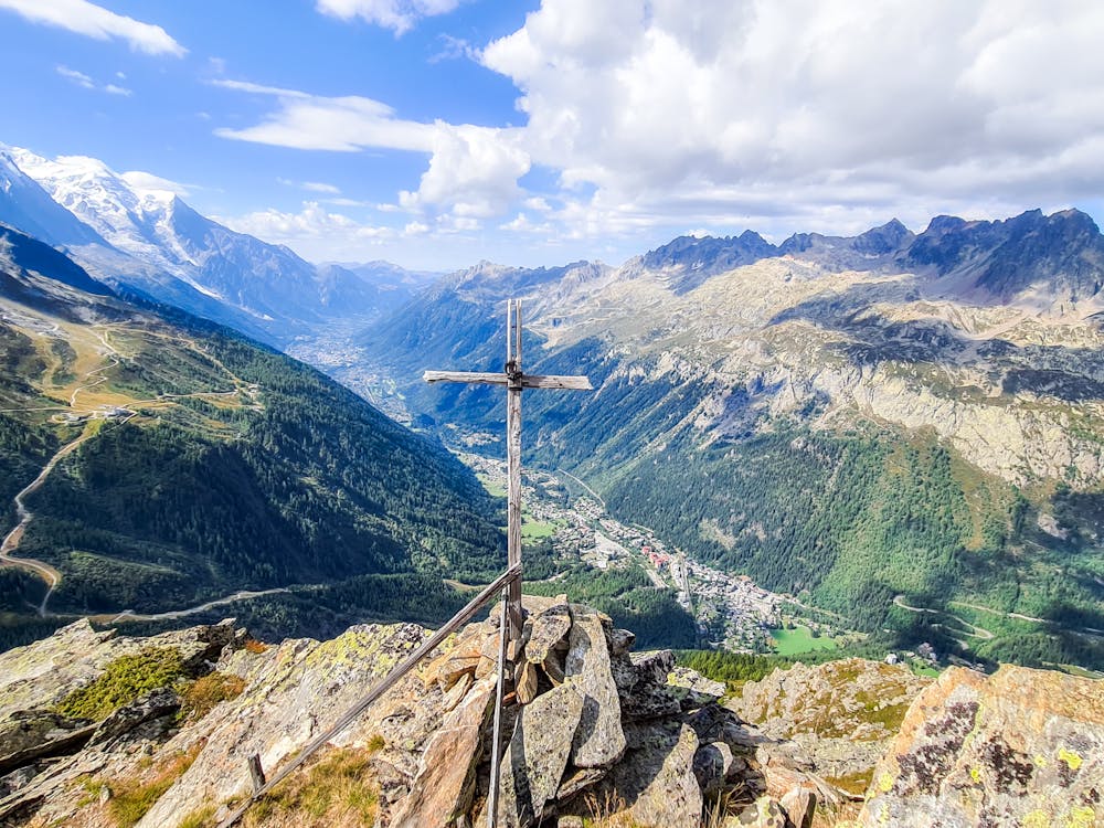
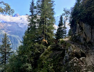
Bec de Lachat is a peak with stunning views of almost the entire northern massif. Because this peak is rarely visited you will be rewarded with awe and solitude.
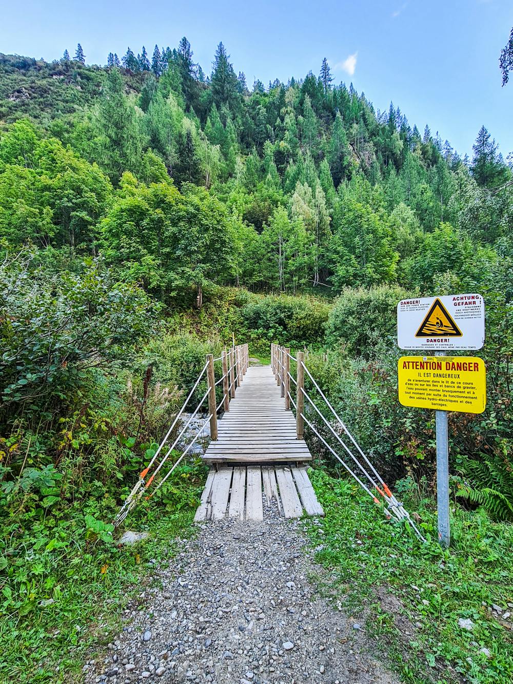
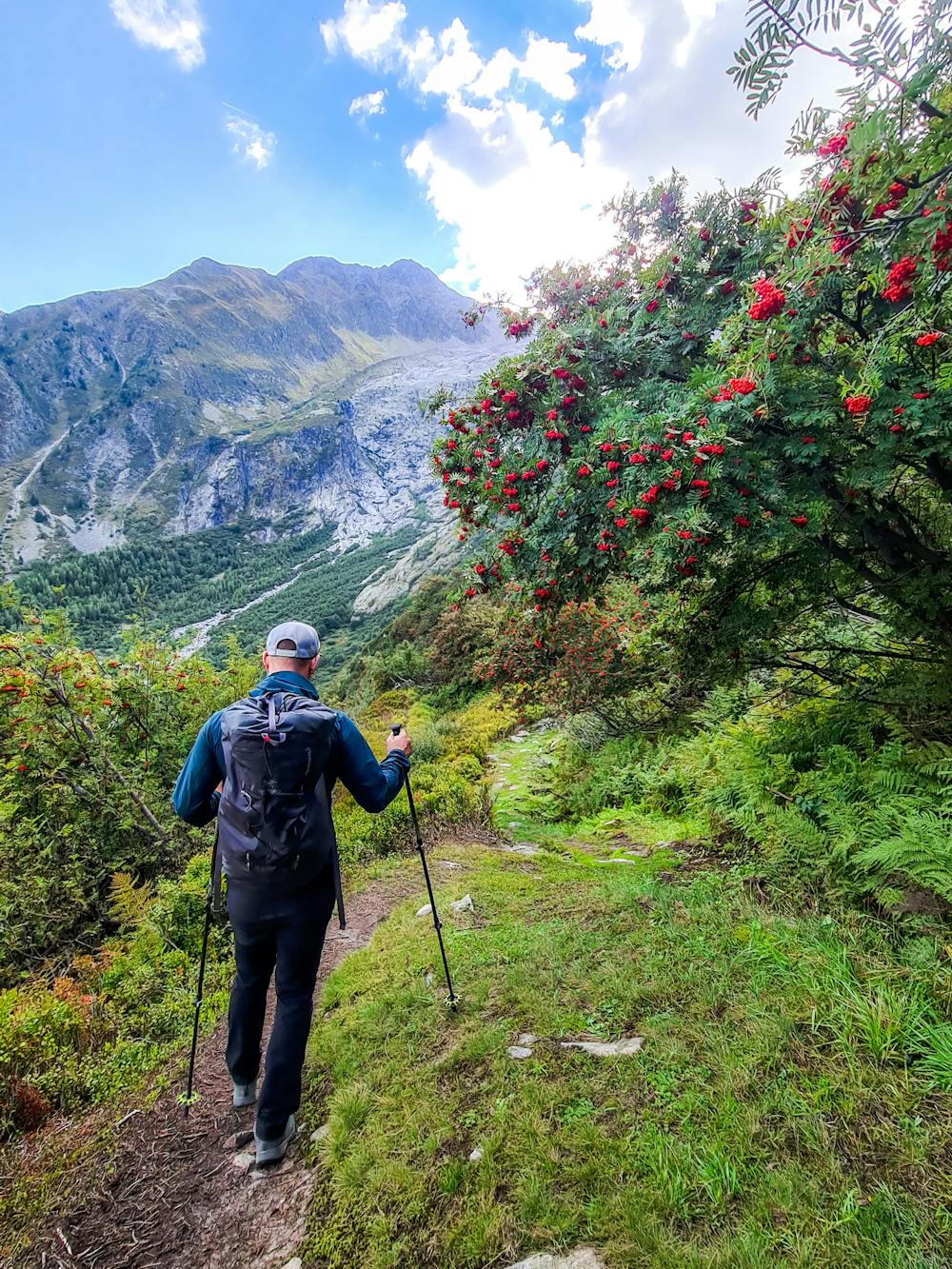
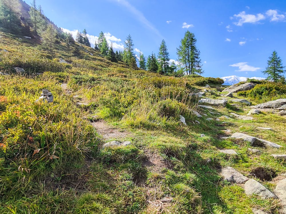
Above the treeline, there will be no more markers. Instead, the route is marked with cairns. The first cairn is a few meters after the bivouac on your left, then another cairn at the crossroad that leads you to either the summit of Bec de Lachat or a viewing point of the Argentiere glacier.
From this cairn, the path becomes steeper and in some parts, a bit vegetated but the steps provide a good footing. This is the path that will lead you straight to the summit cross of Bec de Lachat.
To go down you reverse the route back to the bridge.
The total trip will take you approximately 3-4 hours.
Difficult
Hiking trails where obstacles such as rocks or roots are prevalent. Some obstacles can require care to step over or around. At times, the trail can be worn and eroded. The grade of the trail is generally quite steep, and can often lead to strenuous hiking.

The trail contains some obstacles such as outcroppings and rock which could cause injury.
Away from help but easily accessed.
397 m away
An accessible and beautifully-situated high mountain hut with a number of approaches.
Difficult Hiking
1.6 km away
An accessible and beautifully-positioned high mountain hut with a variety of approaches.
Difficult Hiking
1.8 km away
Hike to Lac Blanc from Col des Montets on one of Chamonix's most famous hikes!
Severe Hiking
1.8 km away
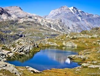
Day 10: The final day of the Tour and with expansive views across the Mont Blanc Massif, this is a fitting end to a great trip.
Difficult Hiking
2.6 km away
A tough hike which starts in forests and then brings you out into spectacular, open mountainous terrain.
Moderate Hiking
2.8 km away

An accessible and beautifully-situated high mountain hut with a variety of approaches.
Difficult Hiking
3 km away
Challenging alpine hike that summits Mont Buet along with other nearby peaks.
Extreme Hiking
6.6 km away
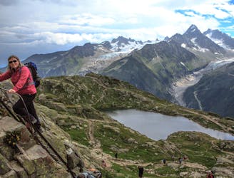
A stunning segment of the TMB following the Grand Balcon Sud trail.
Difficult Hiking
6.6 km away
Hike to Lac Blanc from La Flegere on one of Chamonix's most famous hikes!
Difficult Hiking
7.5 km away
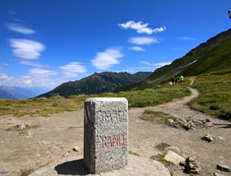
Day 9: The final border crossing of the Tour and the first time you'll have seen Chamonix for a week!
Severe Hiking

14 routes · Hiking

5 routes · Hiking

12 routes · Hiking

12 routes · Alpine Climbing · Hiking

15 routes · Alpine Climbing · Hiking

6 routes · Alpine Climbing · Hiking

9 routes · Alpine Climbing · Hiking