7.8 km away
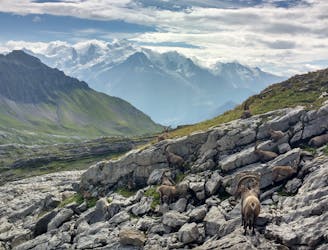
Via Alpina: Samoens to Le Buet via the Aiguilles Rouges
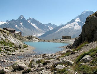
A 3-day hike along part of the Via Alpina in the stunning Haute-Savoie region of France.
Moderate Hiking
- Distance
- 53 km
- Ascent
- 3.8 km
- Descent
- 3.2 km
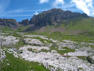
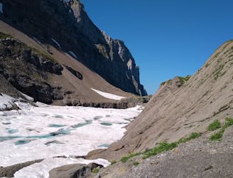
Tour des Rochers des Fiz via le Col d'Anterne et le Passage du Dérochoir
Hiking Difficult

Le Tour des Fiz est une excursion magnifique et surprenante grâce à la curieuse géologie du massif. En passant par le Lac d'Anterne, le Refuge De Moëde Anterne et le Passage du Dérochoir, des sensations fortes vous attendent pour un trek peu difficile. Attention toutefois dans la montée du Dérochoir, des chutes de pierre peuvent survenir
Difficult
Hiking trails where obstacles such as rocks or roots are prevalent. Some obstacles can require care to step over or around. At times, the trail can be worn and eroded. The grade of the trail is generally quite steep, and can often lead to strenuous hiking.

The trail contains some obstacles such as outcroppings and rock which could cause injury.
Away from help but easily accessed.
7.8 km away
A 3-day hike along part of the Via Alpina in the stunning Haute-Savoie region of France.
Moderate Hiking
8.1 km away
Beautiful loop with enough alternatives to fit any hiker's taste and endurance
Severe Hiking
8.1 km away
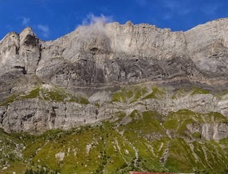
A stunning loop taking in some of the best Mont Blanc views you'll find
Difficult Hiking
8.5 km away
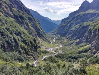
Visit an alpine lake before discovering one of France's 17 "Grand Sites de France," the glacial cirque of Fer à Cheval.
Difficult Hiking
9 km away
Discover Europe's largest limestone pavement formation ("désert de Platé")
Severe Hiking
9.8 km away
A hike beginning with easy trails and ending by scrambling to a summit.
Extreme Hiking

3 routes · Hiking