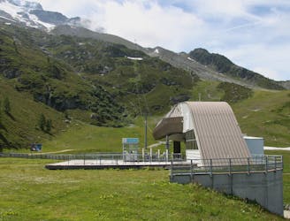
640 m away
Les Bois
The easiest mountain bike ride in Chamonix.
Easy Mountain Biking
- Distance
- 5.6 km
- Ascent
- 56 m
- Descent
- 56 m
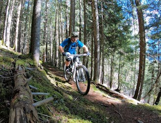
A quick hit of singletrack gnar accessible directly from downtown Chamonix.
Mountain Biking Severe

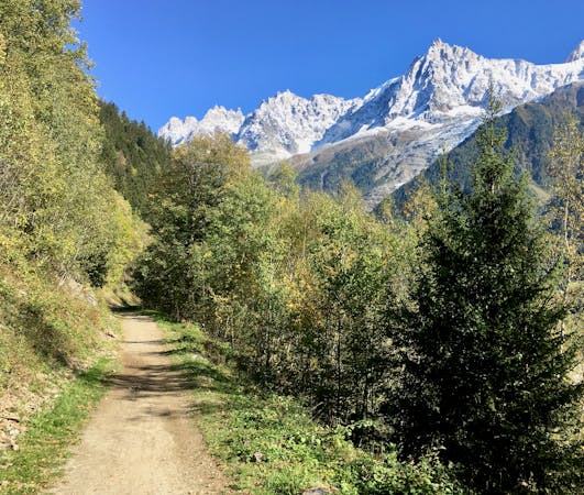
If you’re looking for a quick hit of singletrack gnar accessible directly from downtown Chamonix, Buvette des Mottets will satisfy! Unlike some of the nearby classics such as Charlanon, this ride is 100% pedal-driven. While this makes for a respectable amount of work to get up the mountain, Buvette des Mottets consequently serves as an excellent ride either early or late in the season when the lifts are closed.
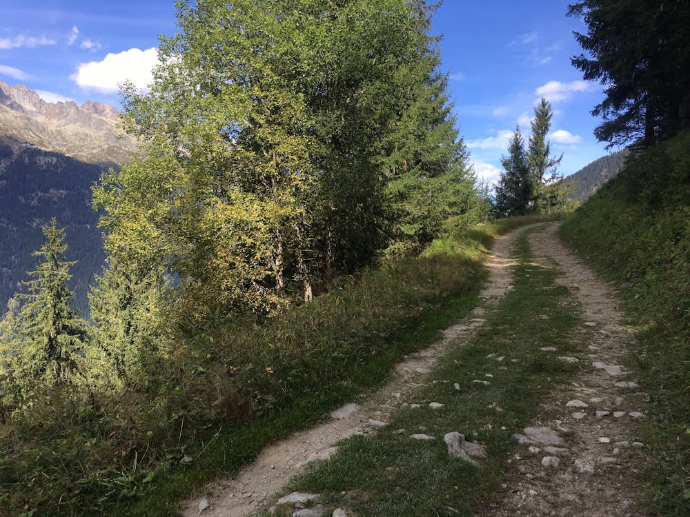
The ride begins with a steep grind below a chairlift, but take heart: most of the climb isn’t this steep. After a few hundred meters, the grade mellows out into a very rideable fire road climb up the mountainside. The easy pedaling grade is punctuated by several sections of steep switchbacks, but press on anyway.
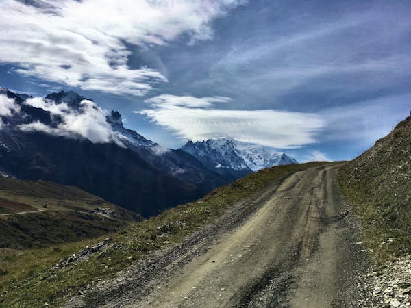
Eventually, you’ll see a singletrack trail splitting off the road, doubling back up and to the right. This will be the singletrack portion of your ride, and if you’d prefer to just get to the goods, bang a hard right onto the trail and keep on climbing. However, if you continue on straight as this route indicates, a little more climbing will bring you to the Buvette des Mottets hut, from whence this ride gets its name.
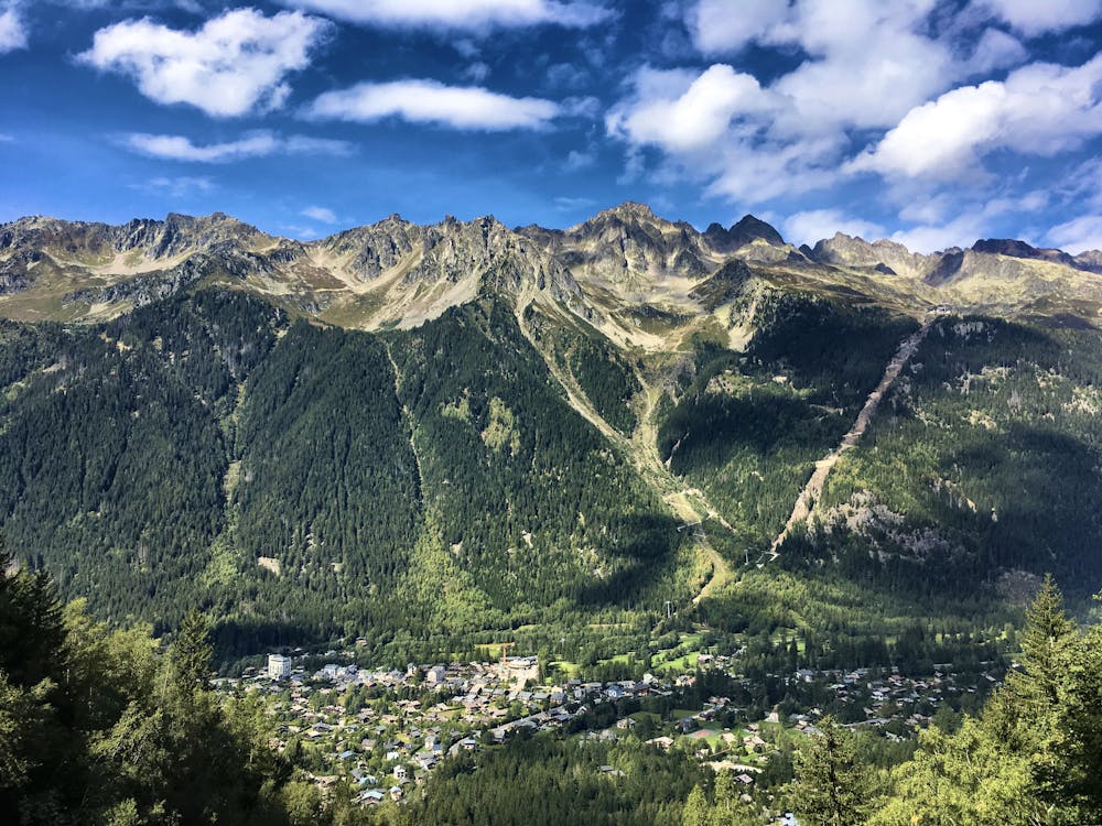
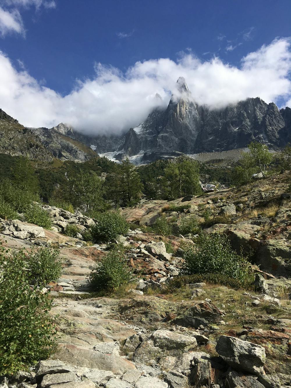
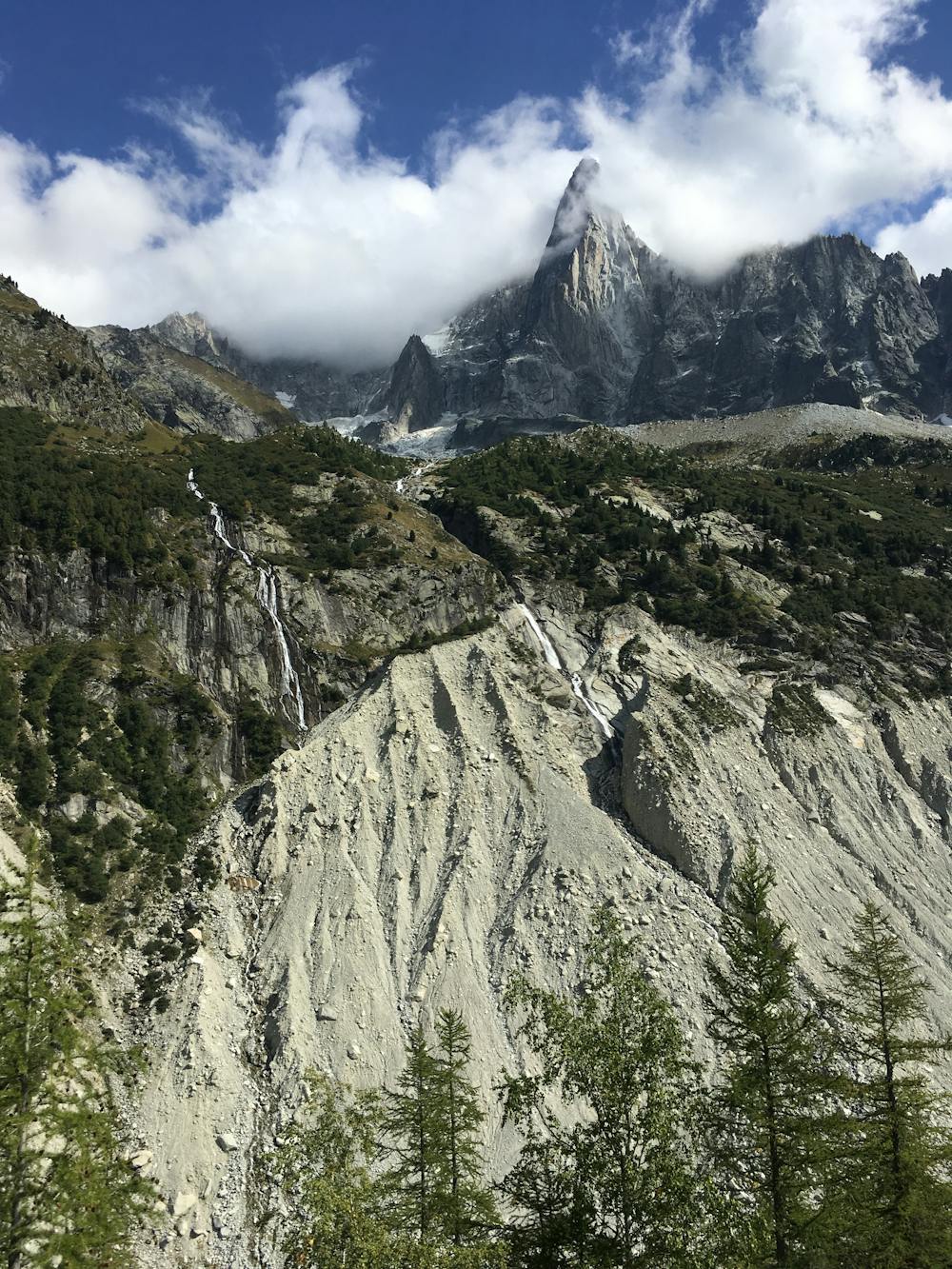
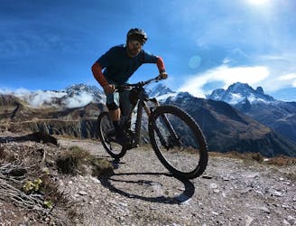
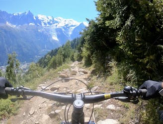
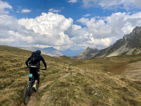
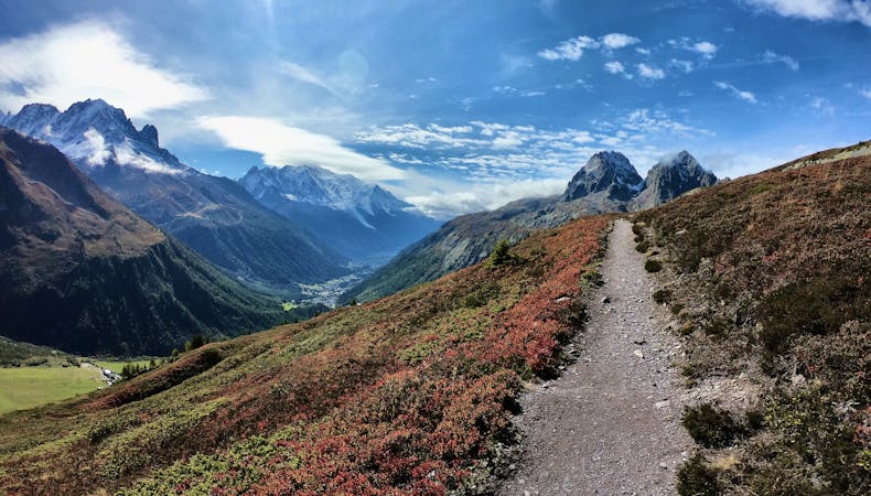
While you can, of course, enjoy a beverage and a meal at this hut, the true reward is the jaw-dropping views you’ll access by topping out on the rocky ridge. From the hut, you’ll enjoy a stunning panorama of the Aiguille Verte, as well as the deep valley carved by the Mer de Glace.
Once you’ve savored the views, turn around and blast back down the rocky fire road to access the singletrack. Once on the trail, the climb is a bit of a punch in the gut, but once you pass the second hut of the trip… it’s all downhill from there!
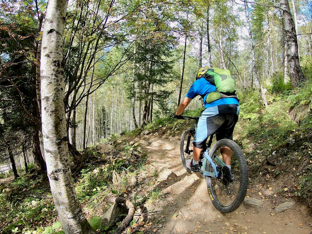
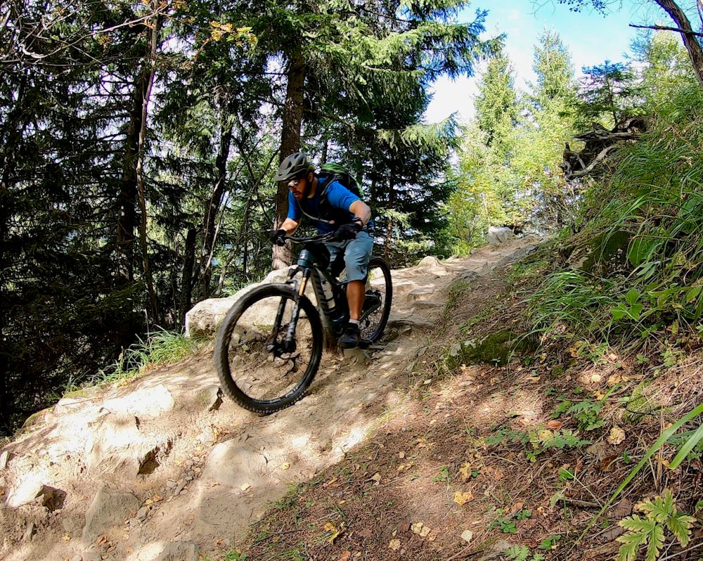
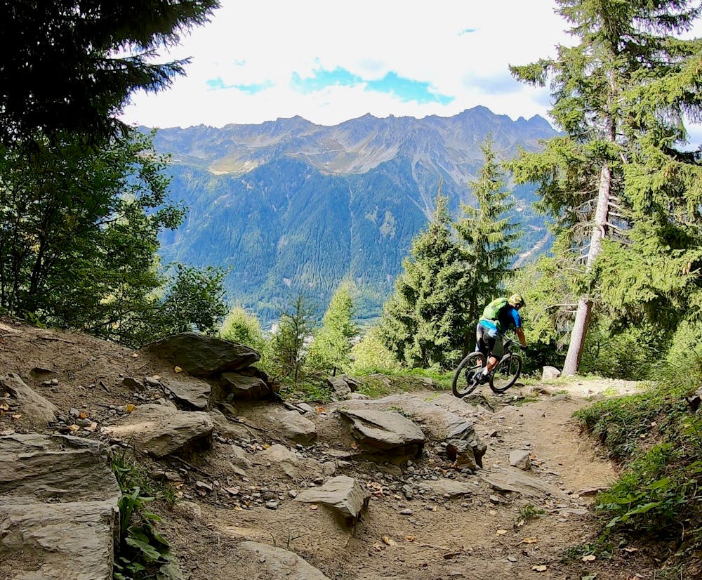
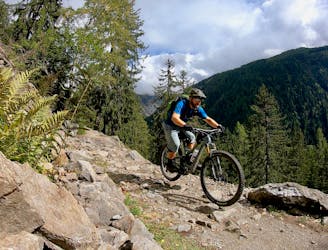
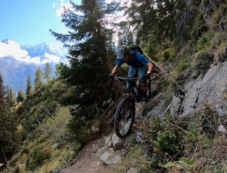
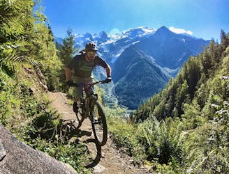
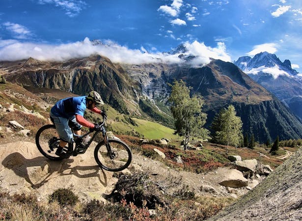
The downhill is rocky, technical, and tight. Thankfully, most of the rocks are big boulders embedded in the trail tread. There isn’t any loose scree or rolling baby heads to speak of, which makes for a ripping ride experience! Pop off rocks to snag some airtime and blast through the wide-open boulder fields for a gnarly challenge.
The most challenging portions of the trail are rock-strewn switchbacks that require absolute confidence and mastery to clean. There’s no shame in walking a turn or two, especially if that allows you to enjoy the rest of the pleasurable singletrack on the way down.
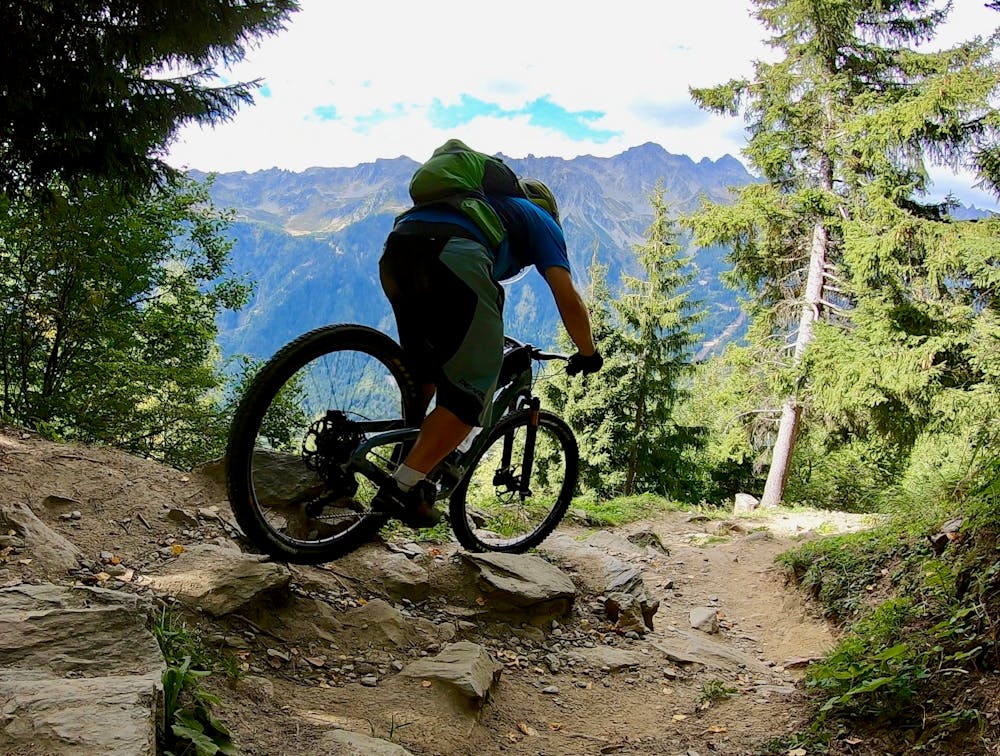
The final drop back to the gravel road is the steepest and loosest of the entire trail, with tight switchbacks leading to sections of fall line dirt and roots. Exercise caution, and keep an eye out for hikers.
Severe
Widely variable, narrow trail tread with steeper grades and unavoidable obstacles of 15in/38cm tall or less. Obstacles may include unavoidable bridges 24in/61cm wide or less, large rocks, gravel, difficult root sections, and more. Ideal for advanced-level riders.

The trail contains some obstacles such as outcroppings and rock which could cause injury.
Away from help but easily accessed.
640 m away
The easiest mountain bike ride in Chamonix.
Easy Mountain Biking
886 m away
A classic loop around Chamonix that's approachable for intermediate riders.
Difficult Mountain Biking
886 m away
An easy tour through Chamonix valley, followed by two hard and long climbs to Lax des Champex.
Moderate Mountain Biking
886 m away
An epic loop ride with a stunning high alpine singletrack traverse as a reward
Severe Mountain Biking
1.3 km away
If the lifts are closed or you have a motor attached to your bike, use this loop route to access Charlanon.
Severe Mountain Biking
2.5 km away
An ultra-technical switchbacked descent from the Planpraz lift.
Extreme Mountain Biking
2.5 km away
Brevent’s only designated mountain bike trail, this enduro-style descent on fully natural singletrack is sure to test even the best riders.
Severe Mountain Biking
3.8 km away
An iconic Chamonix singletrack descent.
Severe Mountain Biking
7 km away
A great loop through terrain which is busy in winter but pleasantly quiet in summer.
Moderate Mountain Biking
7.2 km away
Mostly smooth, flowy singletrack trails rolling through deep forests.
Moderate Mountain Biking
4 routes · Mountain Biking
14 routes · Mountain Biking
4 routes · Mountain Biking · Gravel Biking
4 routes · Mountain Biking · Gravel Biking
5 routes · Mountain Biking