933 m away
Petit Balcon Loop
A classic loop around Chamonix that's approachable for intermediate riders.
Difficult Mountain Biking
- Distance
- 21 km
- Ascent
- 702 m
- Descent
- 702 m
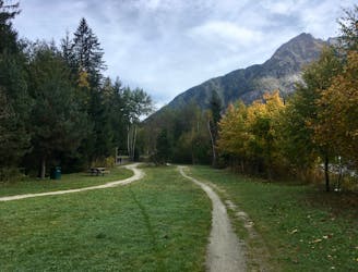
If the lifts are closed or you have a motor attached to your bike, use this loop route to access Charlanon.
Mountain Biking Severe

While most riders will use the Brevent lift to access Charlanon, a time will come when the lift isn't open. Or perhaps, in the Chamonix fashion, you have a motor attached to your bicycle. Either way, if you want to get to the top of Charlanon without taking the lift, follow this loop route to access this iconic Chamonix trail.
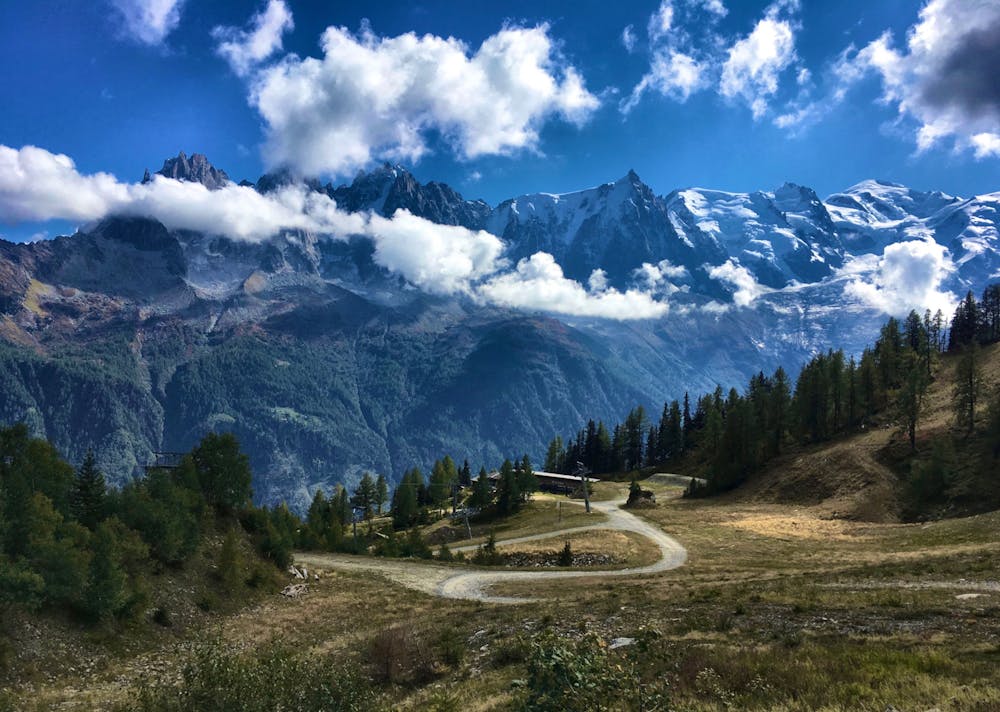
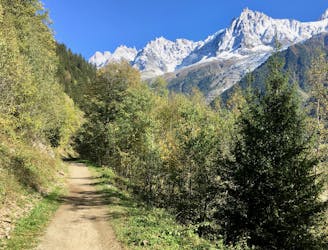
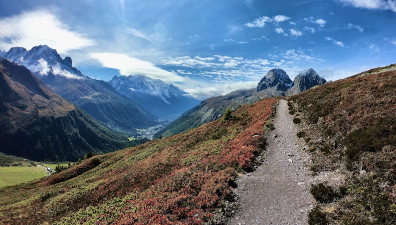
The climb to the top follows a steep dirt road. Despite some switchbacks and the occasional flat section, this climb is a bear if your bike is 100% human-powered. But if you have a motor, flip that baby into turbo and blast on up the mountain!
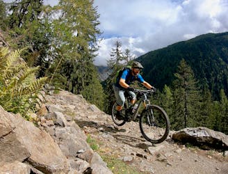
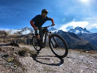
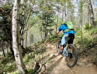
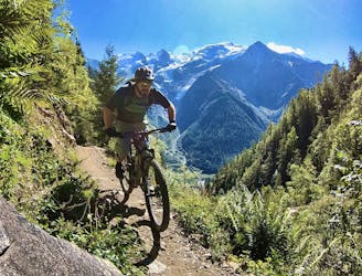
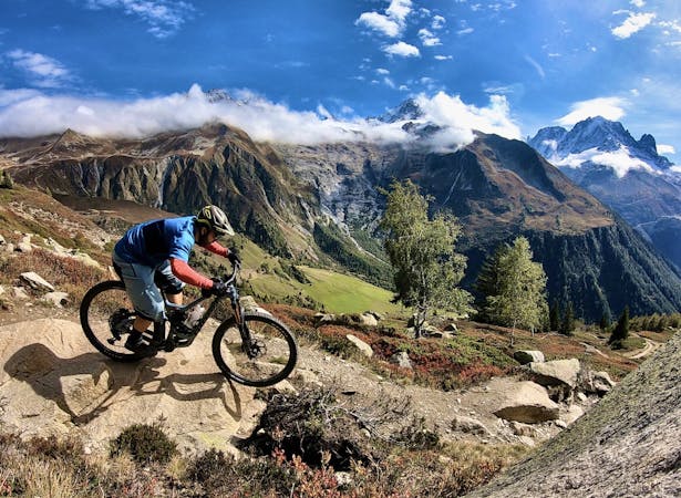
Charlanon is "Brevent's only designated mountain bike trail. This enduro-style descent on fully natural singletrack is sure to test even the best riders," says local rider Tom Grant.
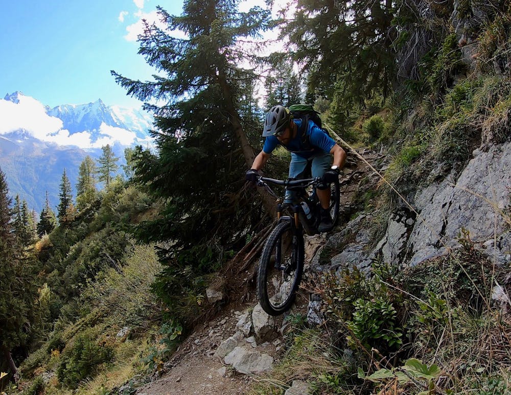
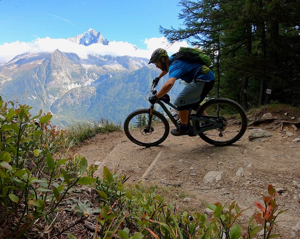
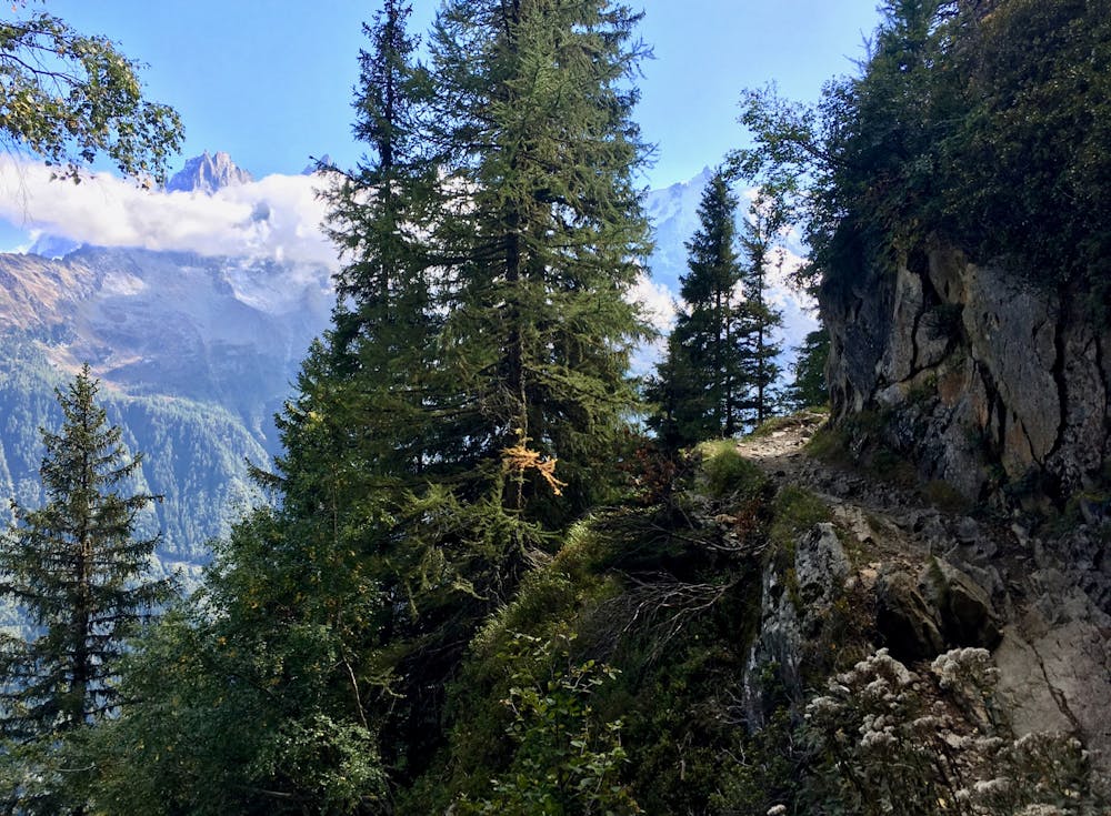
This enduro-style descent is one of the best-known trails in Chamonix for a good reason! After a technical, extremely exposed upper section, the descent opens up and lets loose with steep, fast singletrack dropping over 900 meters down the mountainside.
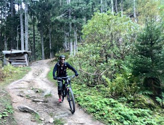
The singletrack along the way is quite varied, with some long, fast, mostly smooth sections, a few ultra-technical switchbacks, and plenty of rock gardens to bash through.
After 10 to 15 minutes of constant descending, you may need to stop and shake out the pump—this ripping descent is relentless!
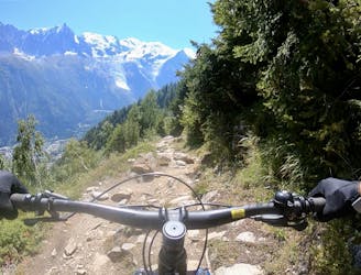
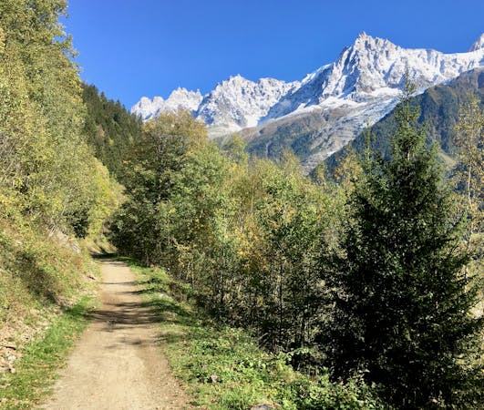
Once you hit the Petit Balcon trail you can either drop straight to town, or if you aren't done quite yet, bang a right, pedal uphill a bit, and turn left onto a much more entertaining trail to finish.
Severe
Widely variable, narrow trail tread with steeper grades and unavoidable obstacles of 15in/38cm tall or less. Obstacles may include unavoidable bridges 24in/61cm wide or less, large rocks, gravel, difficult root sections, and more. Ideal for advanced-level riders.

Some trail sections have exposed ledges or steep ascents/descents where falling could cause serious injury.

Away from help but easily accessed.
933 m away
A classic loop around Chamonix that's approachable for intermediate riders.
Difficult Mountain Biking
934 m away
An easy tour through Chamonix valley, followed by two hard and long climbs to Lax des Champex.
Moderate Mountain Biking
934 m away
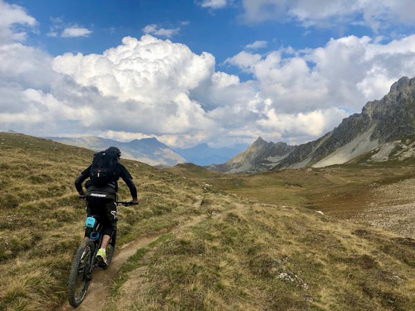
An epic loop ride with a stunning high alpine singletrack traverse as a reward
Severe Mountain Biking
1.2 km away
The easiest mountain bike ride in Chamonix.
Easy Mountain Biking
1.3 km away
A quick hit of singletrack gnar accessible directly from downtown Chamonix.
Severe Mountain Biking
1.6 km away
An ultra-technical switchbacked descent from the Planpraz lift.
Extreme Mountain Biking
1.6 km away
Brevent’s only designated mountain bike trail, this enduro-style descent on fully natural singletrack is sure to test even the best riders.
Severe Mountain Biking
2.7 km away
An iconic Chamonix singletrack descent.
Severe Mountain Biking
6.1 km away
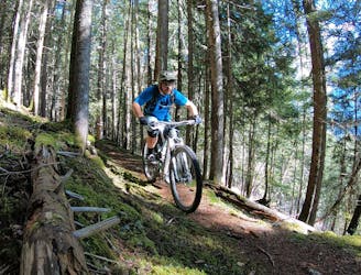
Mostly smooth, flowy singletrack trails rolling through deep forests.
Moderate Mountain Biking
6.1 km away
A mellow ride up and down the Chamonix valley that's mostly on gravel.
Easy Mountain Biking
4 routes · Mountain Biking
14 routes · Mountain Biking
4 routes · Mountain Biking · Gravel Biking
5 routes · Mountain Biking