2.7 km away
Charlanon Loop
If the lifts are closed or you have a motor attached to your bike, use this loop route to access Charlanon.
Severe Mountain Biking
- Distance
- 11 km
- Ascent
- 881 m
- Descent
- 881 m
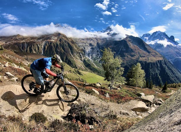
An iconic Chamonix singletrack descent.
Mountain Biking Severe

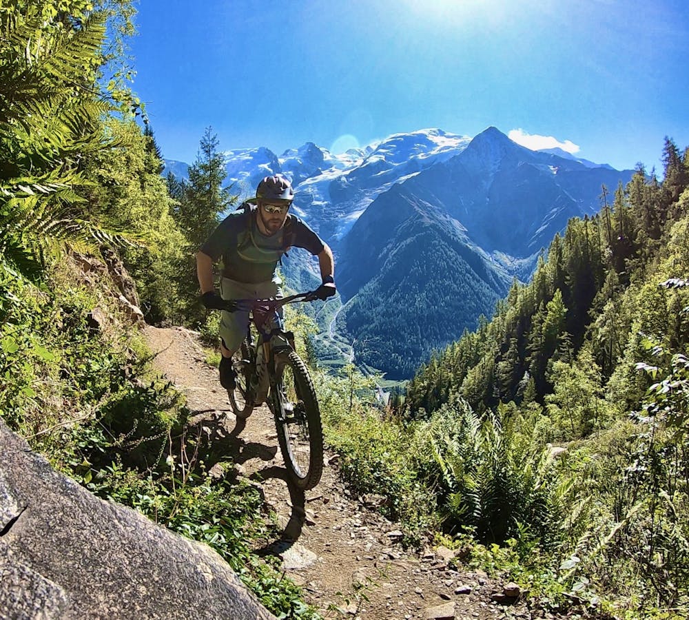
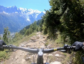
The singletrack descent down Merlet is one of Chamonix’s iconic mountain bike routes. This ripping descent is steep, fast, and challenging, but it's all completely rideable by advanced mountain bikers.
The first key question you need to answer is, “how will you get to the top of the trail?” Thanks to a road running to the top of the descent, Merlet offers a prime opportunity for a vehicle shuttle. However, the end of the road can be very busy and parking difficult to come by, especially on the weekends, due to the popular Parc de Merlet animal reserve.
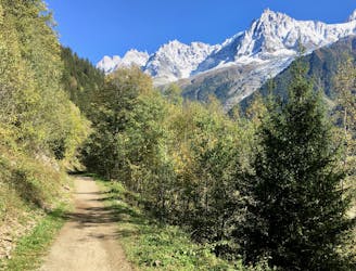
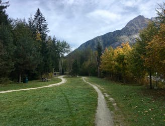
If you don’t want to deal with parking issues or prefer to do things the hard way, the route mapped here depicts a loop option with a grind of a climb up the steep paved road. While the climb up the road can be brutal, once you reach the top of the trail, it’s ALL downhill!
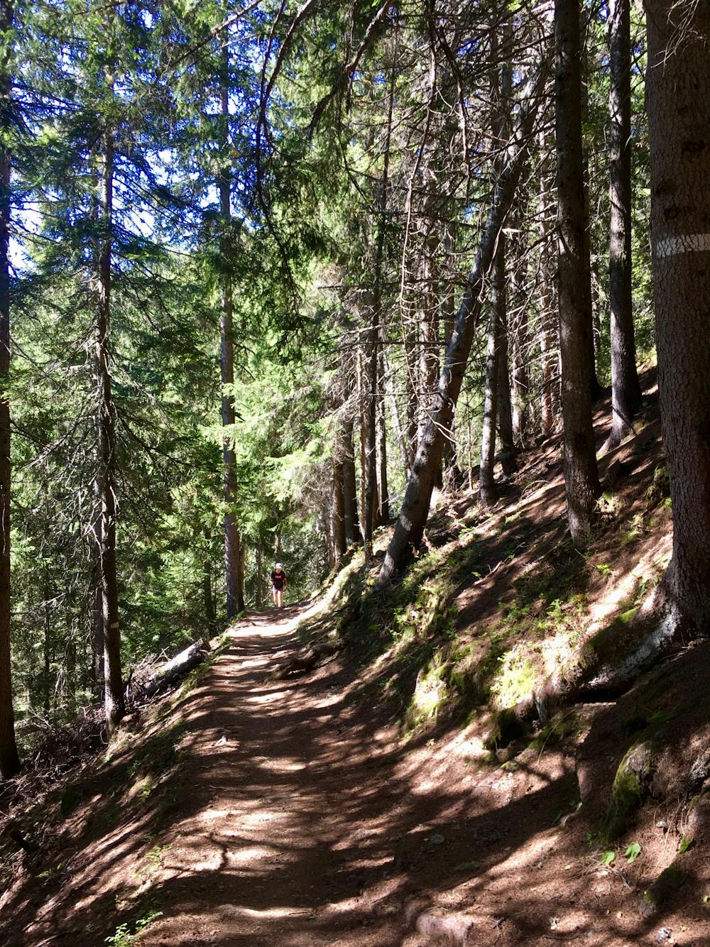
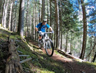
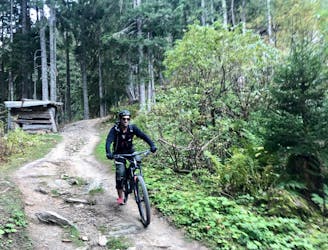
The descent begins with a series of dirt-filled stair steps. While this is the only actual set of stairs on the trail, the rough ride foreshadows an even rougher, more technical descent to follow.
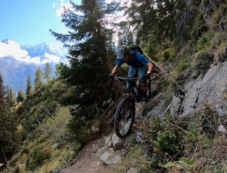
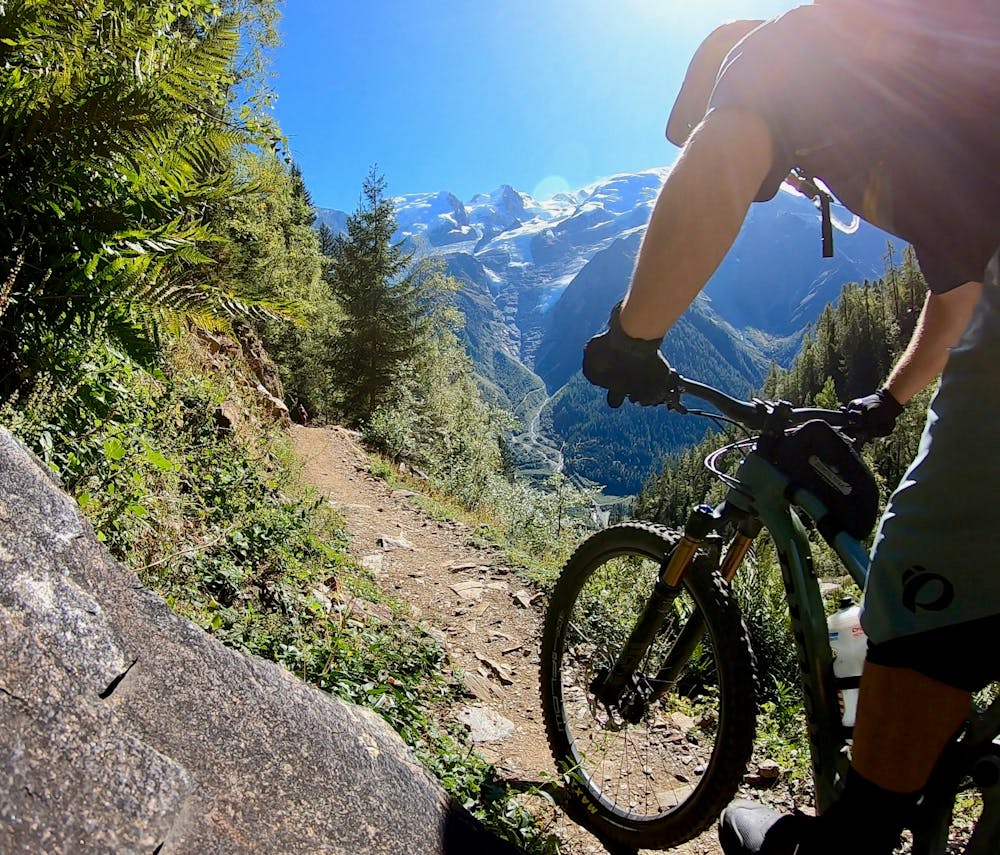
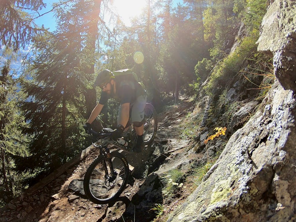
Merlet doesn’t pull any punches. Sharp rock gardens lead into ledge drops, cascading root webs, and all manner of rocky gnar. In places, you’ll be forced to navigate sniper rock lines on an exposed bench cut singletrack with a long fall down the mountain awaiting if you bobble your line!
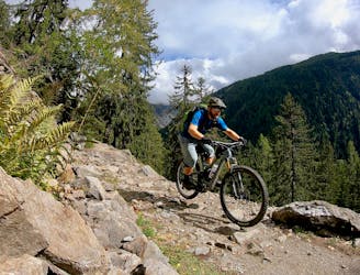
In the middle of the trail, you’ll encounter a crux rock move. Be sure to scope this feature, as the best line isn’t readily apparent when you roll up to it. The trail in the trench to the left is obviously unrideable, and far-right there’s an obvious drop line… but it drops a long way. In the middle, there’s a line down the sharp, jagged rocks that might not seem plausible at first, but rolls more smoothly than you’d expect.
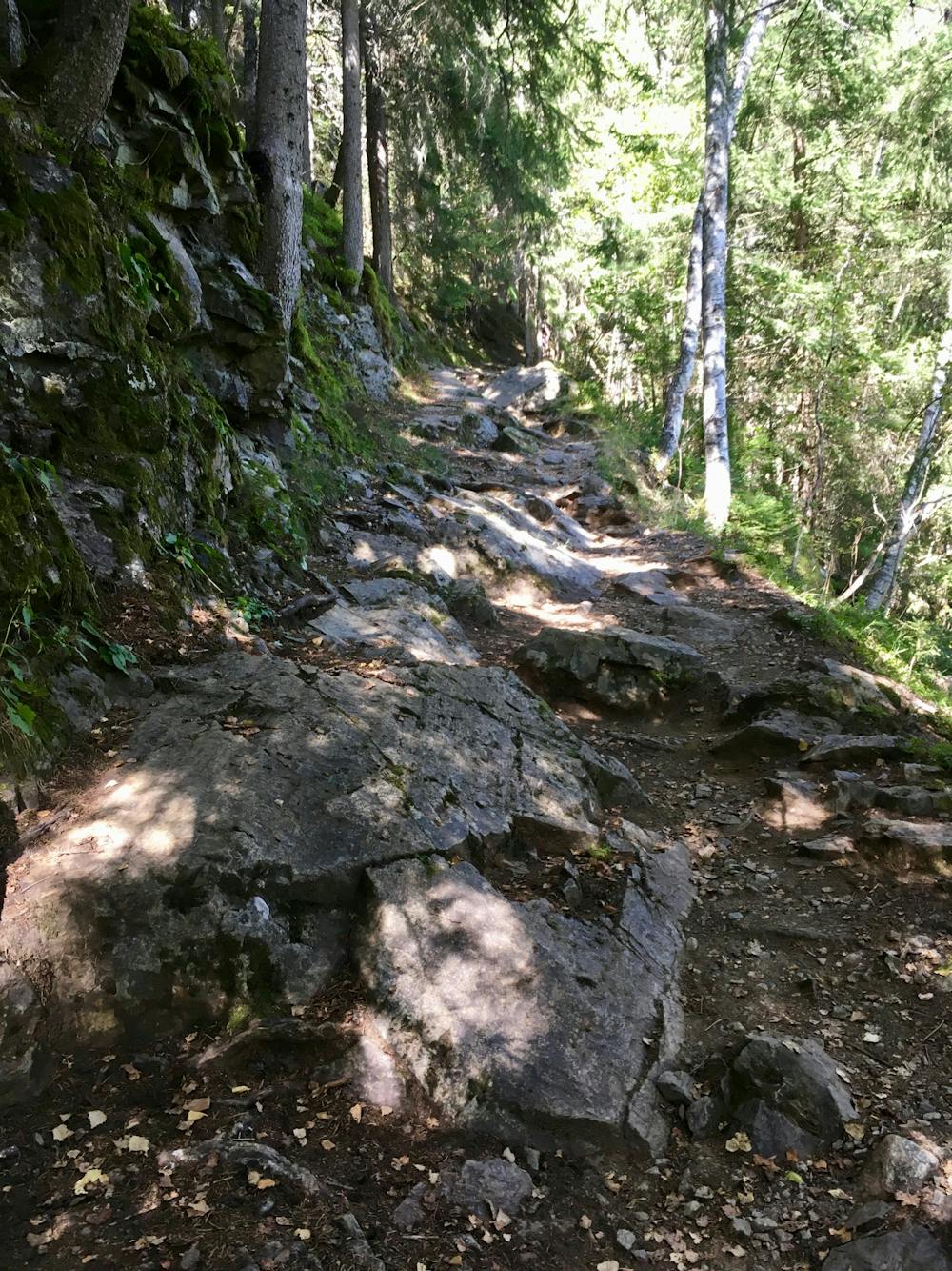
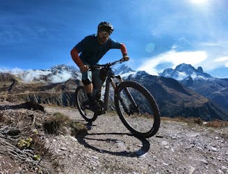
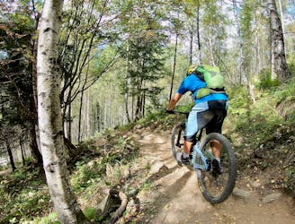
Continuing down the trail, the size of the features mellows out a bit, but the roughness increases, with gnarled roots stretching across the trail. The grade mellows a bit in places, allowing you to let off the brakes a bit and pick up the speed, skimming over the endless roots.
Once back at the bottom, shake out the pump and wipe the sweat from your forehead. That was a true rip! Now if only it was three times as long?!
Severe
Widely variable, narrow trail tread with steeper grades and unavoidable obstacles of 15in/38cm tall or less. Obstacles may include unavoidable bridges 24in/61cm wide or less, large rocks, gravel, difficult root sections, and more. Ideal for advanced-level riders.

Some trail sections have exposed ledges or steep ascents/descents where falling could cause serious injury.

Away from help but easily accessed.
2.7 km away
If the lifts are closed or you have a motor attached to your bike, use this loop route to access Charlanon.
Severe Mountain Biking
3.4 km away
Brevent’s only designated mountain bike trail, this enduro-style descent on fully natural singletrack is sure to test even the best riders.
Severe Mountain Biking
3.4 km away
An ultra-technical switchbacked descent from the Planpraz lift.
Extreme Mountain Biking
3.4 km away
Mostly smooth, flowy singletrack trails rolling through deep forests.
Moderate Mountain Biking
3.4 km away
A mellow ride up and down the Chamonix valley that's mostly on gravel.
Easy Mountain Biking
3.7 km away
A classic loop around Chamonix that's approachable for intermediate riders.
Difficult Mountain Biking
3.7 km away
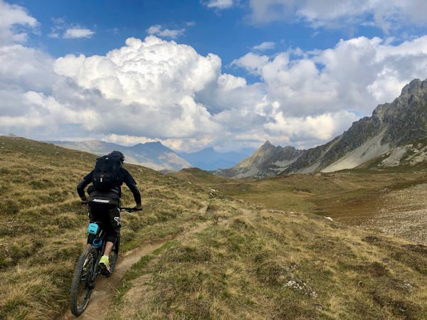
An epic loop ride with a stunning high alpine singletrack traverse as a reward
Severe Mountain Biking
3.7 km away
An easy tour through Chamonix valley, followed by two hard and long climbs to Lax des Champex.
Moderate Mountain Biking
3.8 km away
A quick hit of singletrack gnar accessible directly from downtown Chamonix.
Severe Mountain Biking
3.9 km away
The easiest mountain bike ride in Chamonix.
Easy Mountain Biking
4 routes · Mountain Biking
14 routes · Mountain Biking
4 routes · Mountain Biking · Gravel Biking
5 routes · Mountain Biking