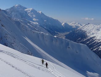
6 m away
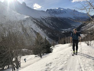
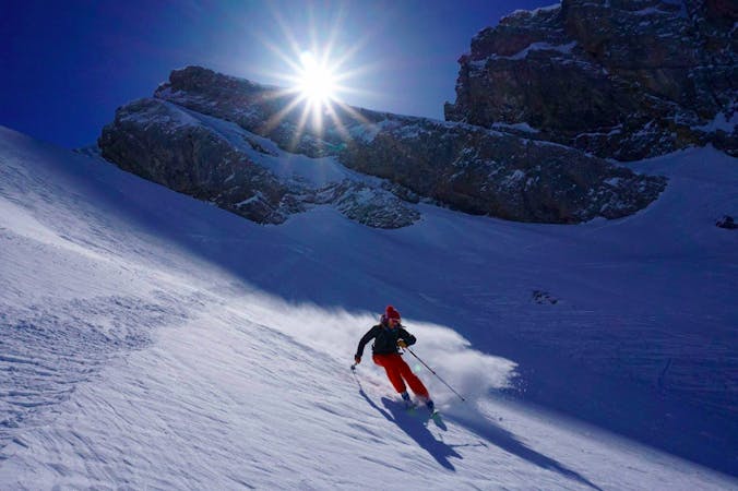
Pointe de la Terrasse
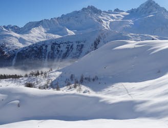
A beautiful ski tour which features some fabulous terrain in a wild location.
Difficult Ski Touring
- Distance
- 16 km
- Ascent
- 1.5 km
- Descent
- 1.5 km
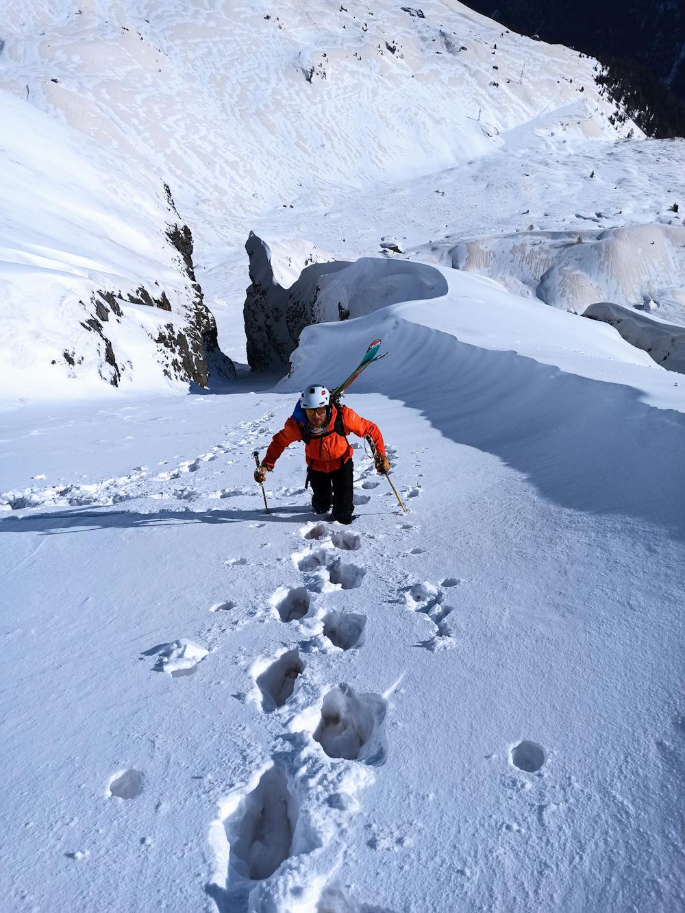
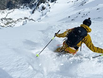
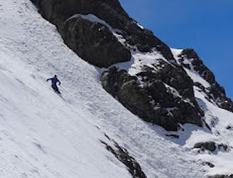
Couloir on the East Face of Aiguille de Loriaz
Ski Touring Severe

The couloir located on the left of Loriaz Icefall. Climb up the couloir up to the point that splits into two and ski down the same way. In good conditions, it might be possible to ski it all the way from the summit but it would involve steep exposed skiing without any room for error.
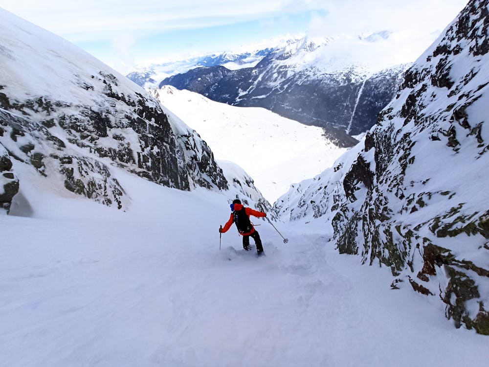
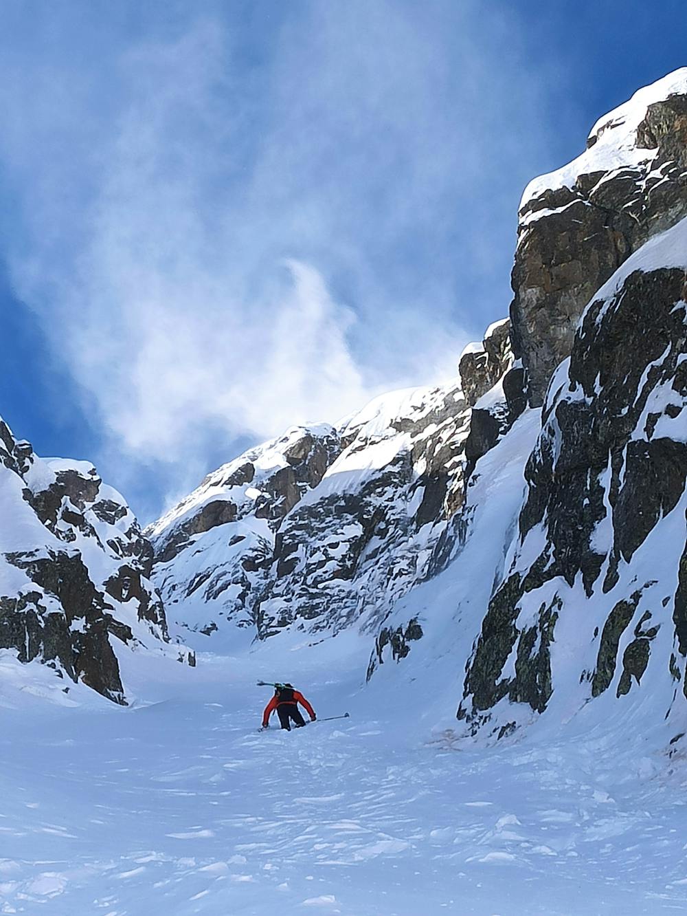
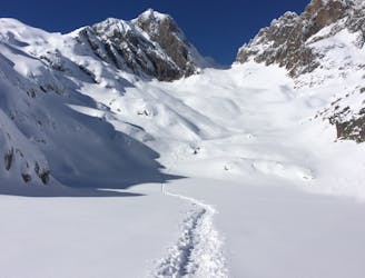
Severe
Steep skiing at 38-45 degrees. This requires very good technique and the risk of falling has serious consequences.

As well as the slope itself, there are some obstacles (such as rock outcrops) which could aggravate injury.

Little chance of being seen or helped in case of an accident.
6 m away
A beautiful ski tour which features some fabulous terrain in a wild location.
Difficult Ski Touring
906 m away
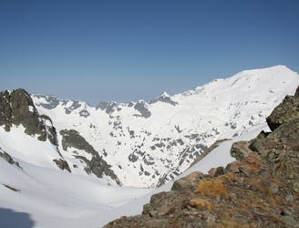
A beautiful and STEEP north face in the Aiguilles Rouges massif
Extreme Ski Touring
3.1 km away
A relatively easy tour to great views. Mostly worthwhile for the up hill journey away from the crowds.
Moderate Ski Touring
3.8 km away
A superb variant, accessed from Le Buet or via the Col de Beugeant descent.
Difficult Ski Touring
4.1 km away
A short climb gives access to a pleasing descent into the neighbouring Trient valley
Difficult Ski Touring
4.2 km away
A big adventure through some huge terrain
Severe Ski Touring
5 km away

A beautiful and classic steep face with a hazardous entrance
Severe Ski Touring
5.1 km away
One of the classic tours of the Agiuille Rouge with a short section of exposed climbing
Difficult Ski Touring
5.2 km away
Just when you think ski season is over, and summer is here, you find a line like this!
Severe Ski Touring
6.3 km away
A visually stunning ski tour easily accessible from Flégère
Moderate Ski Touring
7 routes · Ski Touring

10 routes · Freeride Skiing · Ski Touring

50 routes · Freeride Skiing · Ski Touring

15 routes · Freeride Skiing · Ski Touring