507 m away
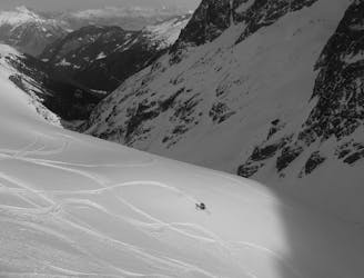
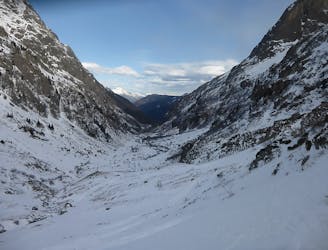
Pointe Alphonse Favre North-West Couloir
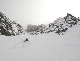
A steep and exciting couloir which packs a lot of adventure into a short line.
Severe Ski Touring
- Distance
- 8.9 km
- Ascent
- 690 m
- Descent
- 1.8 km
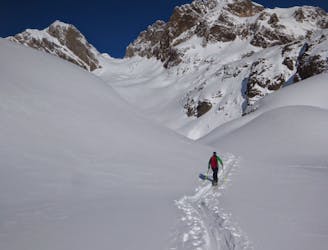
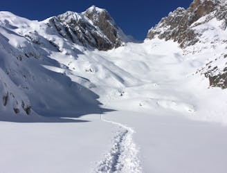
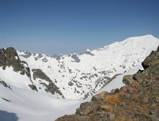
Ski Tour through the Aiguille Rouge
Ski Touring Difficult

This is a popular ski touring route which is generally considered to be difficult. It's an unknown remoteness, it features unknown exposure and is typically done in an unknown time of year. From a low point of 1.3 km to the maximum altitude of 2.8 km, the route covers 16 km, 997 vertical metres of ascent and 2050 vertical metres of descent.
ski tour
Difficult
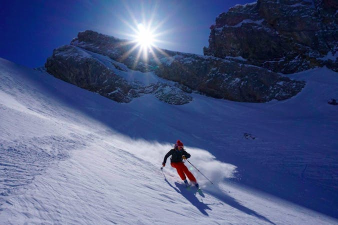
Serious gradient of 30-38 degrees where a real risk of slipping exists.
507 m away
A steep and exciting couloir which packs a lot of adventure into a short line.
Severe Ski Touring
507 m away
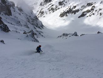
Once a well kept secret, it's not secret anymore but still a great descent.
Difficult Ski Touring
507 m away
A brilliant freeride line with some steep-ish, technical skiing followed by a wide open, rippable slope.
Difficult Ski Touring
507 m away
A Chamonix classic which features a beautiful ascent, an exciting, long abseil and some stunning north facing bowls.
Severe Ski Touring
507 m away
A good introduction to Chamonix ski touring which nonetheless features a short bootpack and an exposed traverse.
Difficult Ski Touring
509 m away
A visually stunning ski tour easily accessible from Flégère
Moderate Ski Touring
1.8 km away
One of the classic tours of the Agiuille Rouge with a short section of exposed climbing
Difficult Ski Touring
2.2 km away
Skiing from a wide col with space for a lot of skiers; fresh tracks are almost guaranteed.
Difficult Ski Touring
2.4 km away
A brilliant detour from the classic Crochues-Bérard route which takes you through some fantastic terrain.
Difficult Ski Touring
3 km away
A superb variant, accessed from Le Buet or via the Col de Beugeant descent.
Difficult Ski Touring
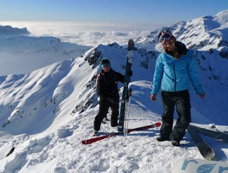
7 routes · Ski Touring

50 routes · Freeride Skiing · Ski Touring