1 m away
Chirouze Classic
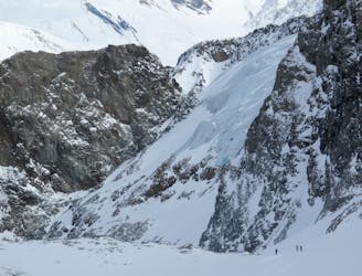
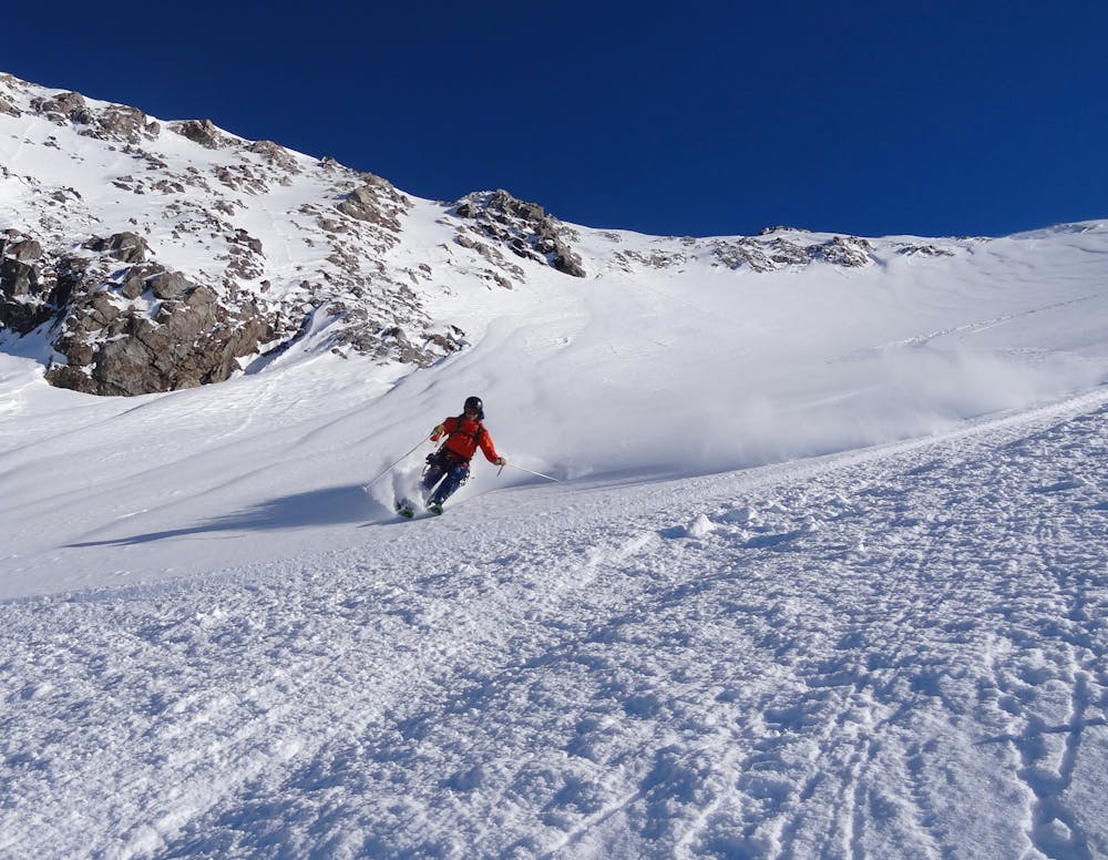
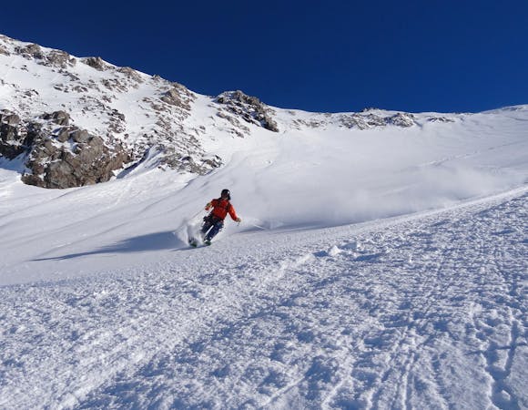
2300m of legendary, serious, wild and committing skiing
Severe Freeride Skiing
- Distance
- 4.9 km
- Ascent
- 0 m
- Descent
- 2.2 km
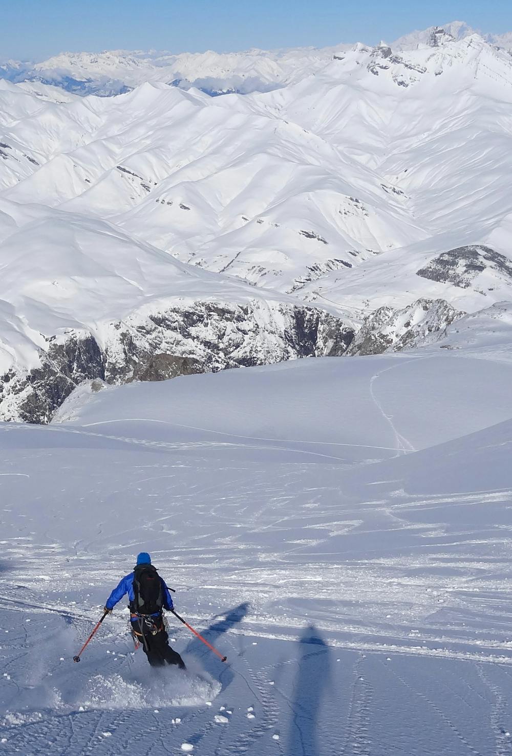
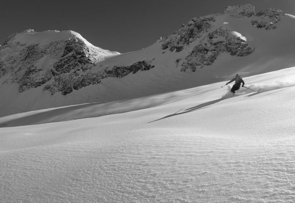
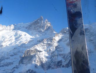
Breathtaking views and fantastic glacier skiing
Also in Hautes-Alpes, France
Freeride Skiing Difficult
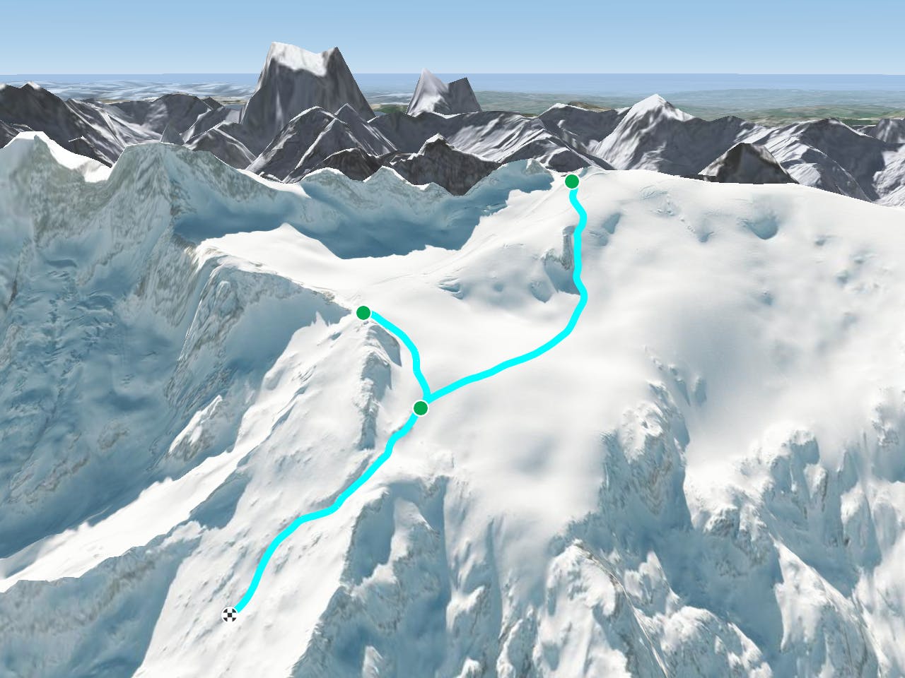
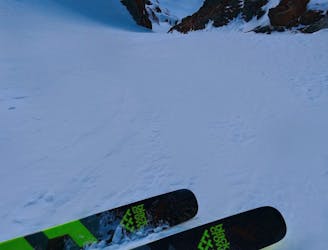
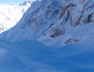
Either opt for a longer descent down the glacier from the top of the Girose lift or access the glacier via a short walk to the Col des Ruillans. Either offers fantastic freeriding on the glacier. If you start from the top of the Girose lift, a short hike to the Dome de la Lauze offers breathtaking views across the whole of the alps - look out for Mont Blanc in the distance. Ski the fall line towards the rocky outcrop that is difficult to identify from above. The glacier is popular but still fairly crevassed. After the rocky outcrop traverse skiers right over the ridge and reach the Col du Lac and re-join the Vallons de Chancel. Don't get too carried away skiing down the glacier as it is a dead end. To avoid the steeper terrain on the Vallons de Chancel you can also traverse back to the classic Vallons de la Meije route via the Breche Pacave.
Difficult
Serious gradient of 30-38 degrees where a real risk of slipping exists.

Exposure is limited to that of the slope itself. Getting hurt is still likely if the slope is steep and/or the snow is hard.

Away from help but easily accessed.
1 m away
2300m of legendary, serious, wild and committing skiing
Severe Freeride Skiing
1.6 km away
Easy to access, steep couloir skiing. A La Grave classic.
Severe Freeride Skiing
1.7 km away
The La Grave mega-classic
Difficult Freeride Skiing
1.7 km away
A La Grave mega-classic with 1800m of steep North facing skiing back to La Grave
Difficult Freeride Skiing
1.7 km away

A very serious and wild series of couloirs down to the valley
Severe Freeride Skiing
1.9 km away

A steeper, more serious variant of the Trifides couloirs
Extreme Freeride Skiing
2 km away

A direct variation on the La Grave classic
Difficult Freeride Skiing
2 km away

Serious, steep skiing in an incredible environment
Extreme Freeride Skiing
2 km away

Another steeper, more serious variant of the Trifides couloirs
Extreme Freeride Skiing
2.1 km away

Even steeper than the Pan de Rideau classic
Extreme Freeride Skiing

10 routes · Freeride Skiing
5 routes · Freeride Skiing

50 routes · Freeride Skiing · Ski Touring

15 routes · Freeride Skiing · Ski Touring