0 m away
Marquise

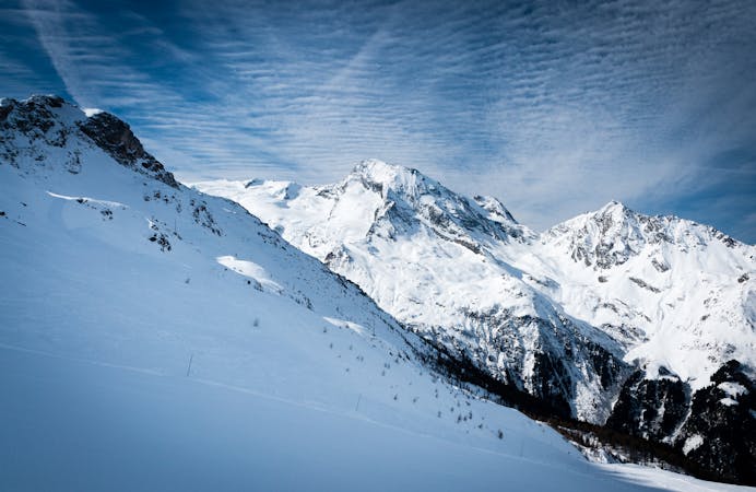
Mellow powder-field opposite the La Marquise chairlift.
Easy Freeride Skiing
- Distance
- 1.9 km
- Ascent
- 2 m
- Descent
- 471 m
All of the joys of Sainte Foy condensed into a single run.
Freeride Skiing Difficult

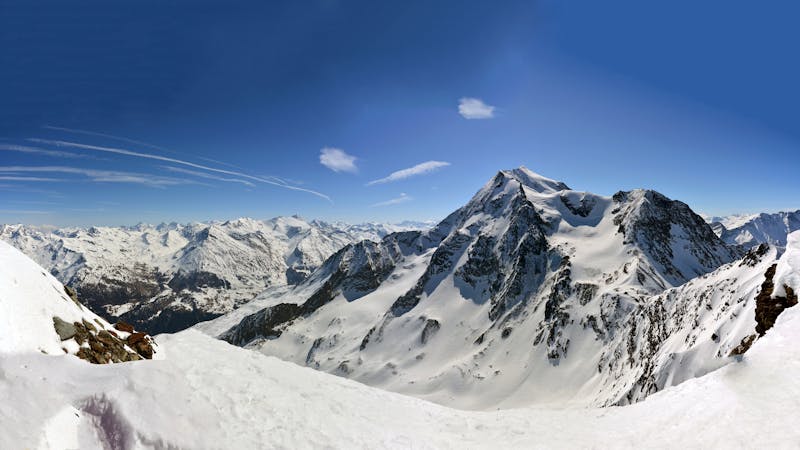
Wide-open alpine slopes up top into rolling terrain a few tress and marshmallow-looking pillows, giving way to steeper and tighter trees at the end before a quick rat-run down a path back to the road; Col du Granier is a pretty neat microcosm of the Sainte Foy experience.
Accessed directly via a short traverse to the left from the top of the Marquise lift to the ridge to the east. Continue to traverse around the shoulder to reach the start of the run. The first pitch is wide and has some steep sections. As you reach the first trees, the route flattens out before diving down into the forest proper. Cross the small stream by way of a small concrete sluice and join the same path back La Masure (see Foglietta north face route).
Difficult
Serious gradient of 30-38 degrees where a real risk of slipping exists.

As well as the slope itself, there are some obstacles (such as rock outcrops) which could aggravate injury.

Little chance of being seen or helped in case of an accident.
0 m away
Mellow powder-field opposite the La Marquise chairlift.
Easy Freeride Skiing
977 m away

Technical, exposed Freeride World Qualifiers face offering a proper steep skiing examination
Severe Freeride Skiing
989 m away

Fun terrain for the playful-at-heart
Moderate Freeride Skiing
1.7 km away

A feast of fun terrain
Difficult Freeride Skiing
1.8 km away

More adventurous variant of Crystal Dark
Difficult Freeride Skiing
1.8 km away

A gorgeous, gentle introduction to backcountry skiing, the route to Le Monal is a lovely journey back in time through stunning scenery.
Easy Freeride Skiing
6.9 km away

One of the only authorized routes on the Aiguille Rouge
Difficult Freeride Skiing
6.9 km away

An amazing journey on to the wild side on the edge of the nature reserve
Difficult Freeride Skiing
6.9 km away

Easy descent that is just outside the national park
Moderate Freeride Skiing
7.1 km away

One of the most exposed faces in Les Arcs
Extreme Freeride Skiing
25 routes · Freeride Skiing
9 routes · Freeride Skiing · Ski Touring