136 m away
Crystal Dark

A feast of fun terrain
Difficult Freeride Skiing
- Distance
- 1 km
- Ascent
- 0 m
- Descent
- 445 m
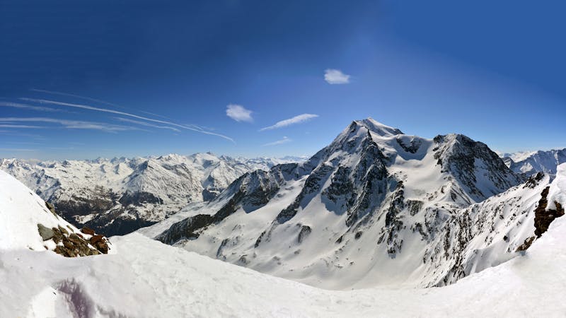
A gorgeous, gentle introduction to backcountry skiing, the route to Le Monal is a lovely journey back in time through stunning scenery.
Freeride Skiing Easy

From the top of the Aiguille chair, continue straight into the wide open south-facing bowl. Because of the southern aspect, the snow transforms well in the spring. On the gentle ride down, skiers pass a small alpine lake, and a small hamlet called Le Clou.
Continuing down the valley until you reach Le Monal, a stunning little 18th-century farming hamlet, skiers then bear right along a small path- Chemin de l'Echaillon- back through the forest to rejoin the ski area of Sainte Foy.
The long, sometimes quite flat route is not well-suited to snowboarders, although in good snow conditions a steeper, shorter, trickier route wiggles its way between rocky outcrops, accessed by hiking the ridge to the south-west from the start. Route finding varies depending on snow conditions so the route should only be undertaken with someone who knows the way.
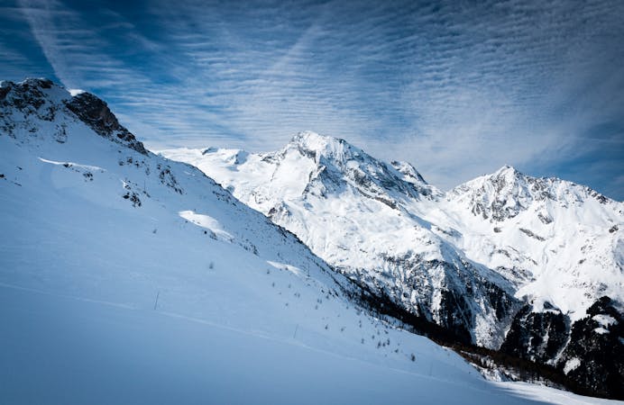
Easy
Wide gentle slopes at around 20 degrees or less.

Exposure is limited to that of the slope itself. Getting hurt is still likely if the slope is steep and/or the snow is hard.

Little chance of being seen or helped in case of an accident.
136 m away
A feast of fun terrain
Difficult Freeride Skiing
171 m away

More adventurous variant of Crystal Dark
Difficult Freeride Skiing
896 m away

Fun terrain for the playful-at-heart
Moderate Freeride Skiing
1.3 km away

Technical, exposed Freeride World Qualifiers face offering a proper steep skiing examination
Severe Freeride Skiing
1.8 km away

Mellow powder-field opposite the La Marquise chairlift.
Easy Freeride Skiing
1.8 km away

All of the joys of Sainte Foy condensed into a single run.
Difficult Freeride Skiing
5.9 km away

An amazing journey on to the wild side on the edge of the nature reserve
Difficult Freeride Skiing
6 km away

A magnificent steep and committing line backside of the Aiguille Rouge
Severe Freeride Skiing
6.1 km away

One of the most exposed faces in Les Arcs
Extreme Freeride Skiing
6.2 km away

One of the only authorized routes on the Aiguille Rouge
Difficult Freeride Skiing
25 routes · Freeride Skiing
9 routes · Freeride Skiing · Ski Touring