509 m away
Muguet Bowl

A popular wide open bowl often with great snow
Easy Freeride Skiing
- Distance
- 1.7 km
- Ascent
- 0 m
- Descent
- 529 m
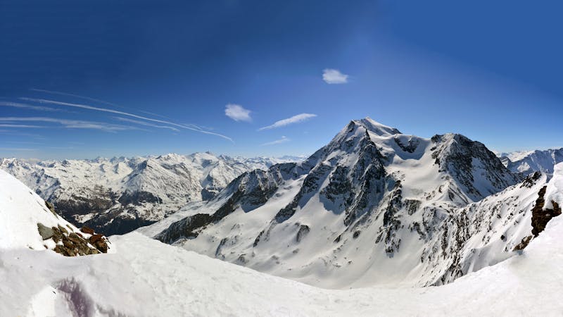
Rolling through the open Malgovert Forest
Freeride Skiing Moderate

A rolling line through the Malgovert Forest, crossing the Malgovert piste as the trees thicken. You can extend the line by staying further skiers right for longer but you'll end up pushing or walking back to Les Arcs. To ski laps of this fun, playful terrain you can rejoin the piste and get back on the lift to re-run the fun. There are lots of rocks and small drop offs, be careful particularly during early season or poor snow cover. The line faces north so the snow stays cold and fresh for a while after a dump of snow.
Moderate
Slopes become slightly steeper at around 25-30 degrees.

Exposure is limited to that of the slope itself. Getting hurt is still likely if the slope is steep and/or the snow is hard.
Close to help in case of emergency.
509 m away
A popular wide open bowl often with great snow
Easy Freeride Skiing
584 m away

A difficult and avalanche prone couloir - check before you go
Severe Freeride Skiing
607 m away

Steep north facing couloirs
Severe Freeride Skiing
622 m away

The bowl that hosted the Red Bull Linecatcher
Moderate Freeride Skiing
717 m away

Steep couloir with a wide runout
Difficult Freeride Skiing
897 m away

One of the narrowest and steepest in Les Arcs
Severe Freeride Skiing
1.3 km away

a fairly exposed and often untracked line
Difficult Freeride Skiing
1.5 km away

A mini-adventure with some steeper skiing at the start
Difficult Freeride Skiing
2.4 km away

Easy descent that is just outside the national park
Moderate Freeride Skiing
3 km away

One of the only authorized routes on the Aiguille Rouge
Difficult Freeride Skiing
25 routes · Freeride Skiing