6.3 km away
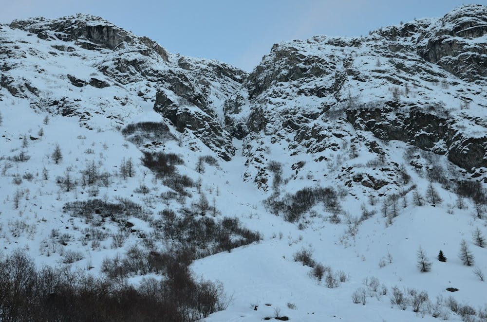
L'Ouillette North West face

A possible powder stash long after a storm
Difficult Freeride Skiing
- Distance
- 1.5 km
- Ascent
- 174 m
- Descent
- 336 m
No name colour accessible from the lifts
Freeride Skiing Moderate

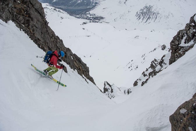
This is a popular freeride skiing route which is generally considered to be moderate. It's not remote, it features medium exposure (e2) and is typically done between February and April. From a low point of 1.8 km to the maximum altitude of 2.5 km, the route covers 1.1 km, 0 vertical metres of ascent and 691 vertical metres of descent. It's graded 3.1 and Labande grade 4.
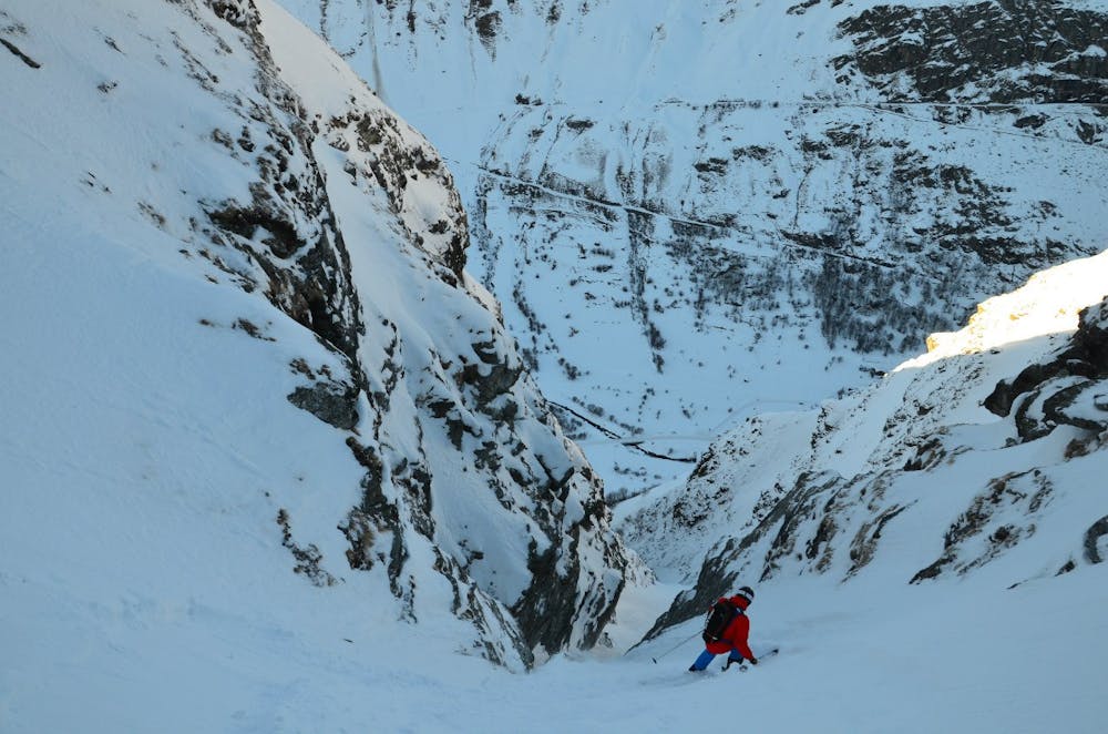
There is a narrow part where one needs to go straight for 5-7 meters
Moderate
Slopes become slightly steeper at around 25-30 degrees.

As well as the slope itself, there are some obstacles (such as rock outcrops) which could aggravate injury.

Close to help in case of emergency.
6.3 km away
A possible powder stash long after a storm
Difficult Freeride Skiing
6.3 km away

A modern classic straight from the lift through beautiful terrain
Difficult Freeride Skiing
6.8 km away

The central line down slightly steeper terrain than the classic "Pays Desert".
Difficult Freeride Skiing
6.8 km away

A classic easy off-piste at a mellow gradient
Difficult Freeride Skiing
6.8 km away

A good introduction to off-piste skiing at high altitude
Difficult Freeride Skiing
6.8 km away

A long adventurous journey; a Val d'Isère MEGA Classic!
Difficult Freeride Skiing
6.8 km away

A fantastic journey for those willing to put in a bit of effort.
Severe Freeride Skiing
8.1 km away

More technical variant of Grand Vallon
Difficult Freeride Skiing
8.1 km away

Easy access off piste run on a large north facing slope often offering fantastic cold snow.
Difficult Freeride Skiing
8.2 km away

A long ski descent away from the lifts with a lot of space for exploration.
Difficult Freeride Skiing
70 routes · Freeride Skiing
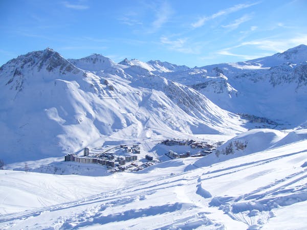
6 routes · Freeride Skiing