519 m away
Moos valley

Tree skiing below the gondola.
Moderate Freeride Skiing
- Distance
- 675 m
- Ascent
- 0 m
- Descent
- 251 m
A straightforward ski in some remote and captivating scenery.
Freeride Skiing Difficult

This descent does not present great deal of difficulty but you should be careful after a big snowfall due to exposure to avalanche danger on some steep slopes below the dam. This route is not suitable for snowboarders due to a long flat part near the Netscho village.
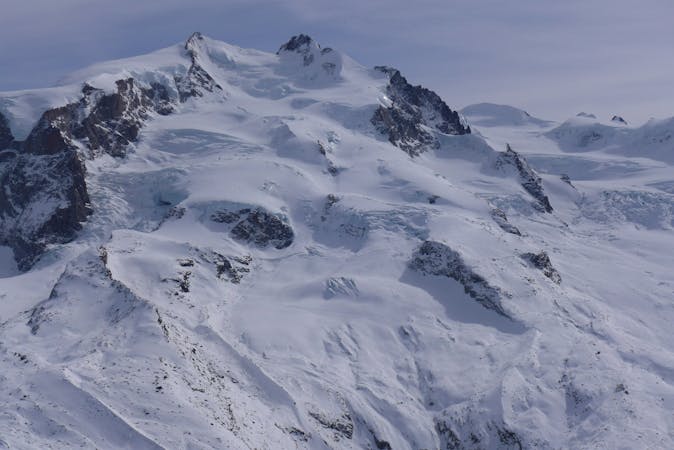
From the middle station Gabiet take the Gabiet chairlift to Lago. At the top, ski down to the lake and traverse across the middle of it (if the conditions allow) or stay on the left side until you reach the dam guardian's house. There is a small pass on the left side of the house that signals the start of the descent.
Once through the pass, a narrow valley leads to slopes below the dam. Follow the summer path, navigating through the rocks (can be a bit tricky) and traverse left to a long slope ending in a flat section near the Netscho village. Cross the river on the bridge and follow the summer path in the forest, bending left until the last wide open slope above the Gressoney village. Ski down and once you reach the road turn left to reach the Punta Jolanda chairlift.
Difficult
Serious gradient of 30-38 degrees where a real risk of slipping exists.

As well as the slope itself, there are some obstacles (such as rock outcrops) which could aggravate injury.

In the high mountains or remote conditions, all individuals must be completely autonomous in every situation.
519 m away
Tree skiing below the gondola.
Moderate Freeride Skiing
688 m away

A steep couloir close to the slope
Moderate Freeride Skiing
742 m away

Ample slopes but needs a little walk at the beginning
Difficult Freeride Skiing
770 m away

Easy terrain to practice off-piste skills on a powder day.
Difficult Freeride Skiing
847 m away

Short add-on to the Moos couloir route with steep tree skiing.
Difficult Freeride Skiing
927 m away

Enjoyable and steeper alternative to the Leisch canyon.
Difficult Freeride Skiing
965 m away

A nice line in the woods, requires walking a bit
Moderate Freeride Skiing
1.1 km away

Awesome scenery down a deep canyon between high cliffs.
Difficult Freeride Skiing
1.8 km away

Steep tree skiing for powder days only - a longer alternative to Jolanda.
Difficult Freeride Skiing
1.8 km away

Tree skiing in a steep forest for powder days only.
Difficult Freeride Skiing
12 routes · Freeride Skiing