1.7 km away
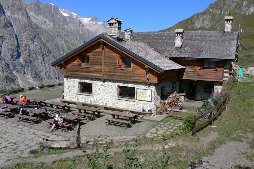
The Boccalatte Hut.
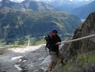
An exceptional, adventurous hike featuring some sections of easy via ferrata and exposed terrain.
Extreme Hiking
- Distance
- 4 km
- Ascent
- 1.2 km
- Descent
- 0 m
From the end of the Monte de la Saxe ridge, there is an option to extend the day slightly if you are hungry for more.
Hiking Difficult

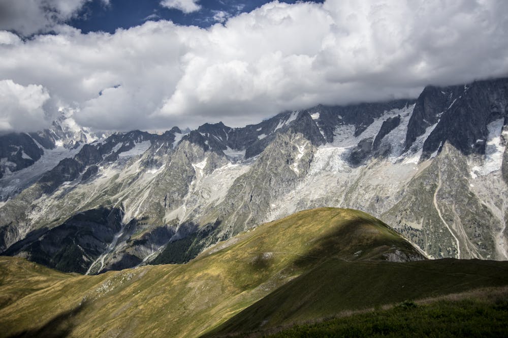
This is a popular hiking route which is generally considered to be difficult. It's an unknown remoteness, it features unknown exposure and is typically done in an unknown time of year. From a low point of 2 km to the maximum altitude of 2.6 km, the route covers 7.7 km, 505 vertical metres of ascent and 870 vertical metres of descent.
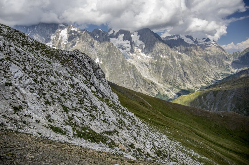
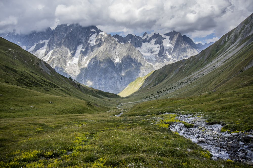
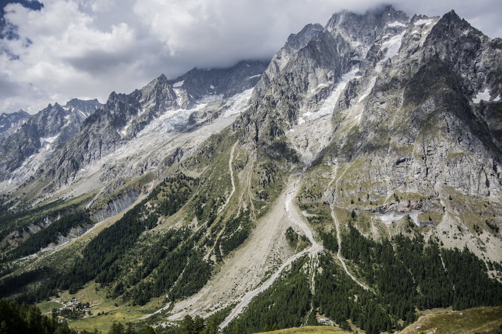
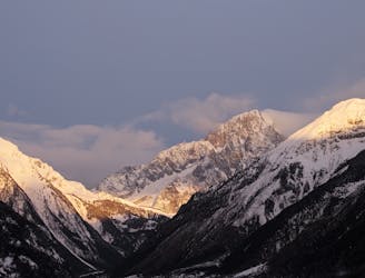
Drop down to the collection of farm buildings that make up La Lichère and instead of continuing down to the Valley, turn southeast and climb up to the Col Entre deux Sauts (2524 metres) then descend northwards, past the Rifugio Bonatti (2026 metres) to Lavachey.
Difficult
Hiking trails where obstacles such as rocks or roots are prevalent. Some obstacles can require care to step over or around. At times, the trail can be worn and eroded. The grade of the trail is generally quite steep, and can often lead to strenuous hiking.
1.7 km away
An exceptional, adventurous hike featuring some sections of easy via ferrata and exposed terrain.
Extreme Hiking
3.8 km away
Day 6: The second border crossing and the highest col on the main Tour du Mont Blanc route.
Difficult Hiking
4.3 km away
Day 5: Although this day is more of a detour than anything, it is a wonderful one in good weather. If the weather is bad or you're pushed for time, get the bus from Courmayeur to Arp Nouva to join stage 6 and skip out this stage.
Difficult Hiking

14 routes · Hiking

9 routes · Alpine Climbing · Hiking

10 routes · Alpine Climbing · Hiking