2.8 km away
Alta Via 2 - Rifugio Genova to Rifugio Puez including Piz Duleda (2,909m) summit
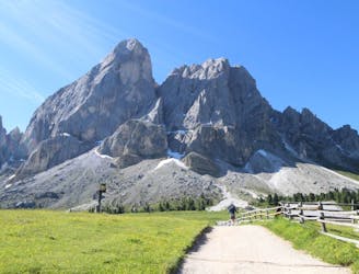
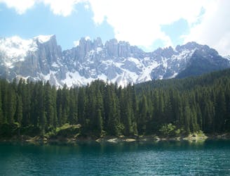
A real contender in the views department!
Severe Hiking
- Distance
- 11 km
- Ascent
- 899 m
- Descent
- 722 m
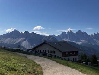
Loop hike to rifugios and a park with stunning scenery
Hiking Moderate

This is a popular hiking route which is generally considered to be moderate. It's remote, it features medium exposure and is typically done between June and September. From a low point of 1.6 km to the maximum altitude of 2 km, the route covers 11 km, 473 vertical metres of ascent and 473 vertical metres of descent.
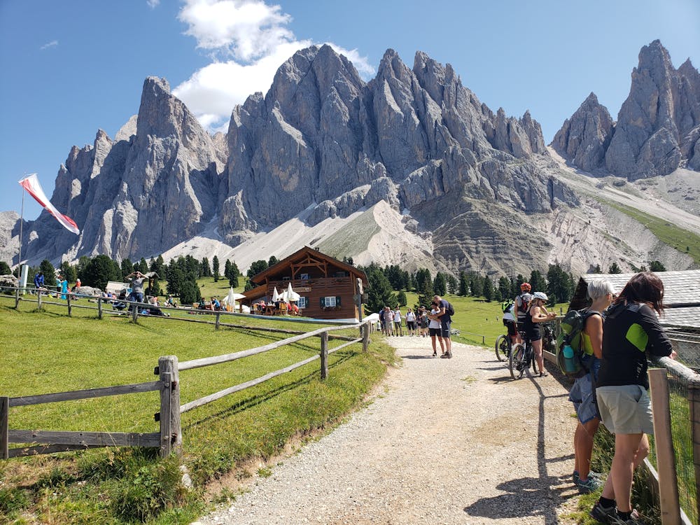
Park and start hike at Zanser Refugio, then follow trail to Gschnagendardtalm Refugio
Moderate
Hiking along trails with some uneven terrain and small hills. Small rocks and roots may be present.

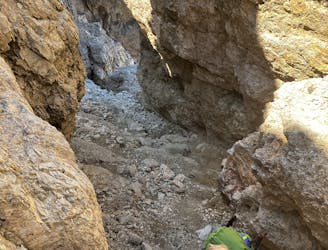
The trail contains some obstacles such as outcroppings and rock which could cause injury.
Away from help but easily accessed.
2.8 km away
A real contender in the views department!
Severe Hiking
5.7 km away
A long, beautiful day up and around a quintessential Dolomites peak.
Severe Hiking
6.9 km away

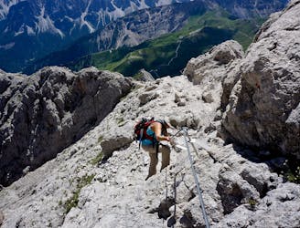
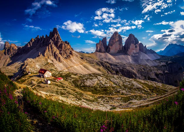
One of the best viewpoints in the Dolomites with a fantastic via ferrata to go with it!
Extreme Hiking
7.1 km away
The strenuous “Way of the Legends” high altitude hiking trail across the Dolomites.
Difficult Hiking
7.1 km away
The first day of the legendary AV2!
Severe Hiking
9.6 km away
Cross the Dolomites by foot from Brixen to Salurn along the “High Trail of Heroes."
Difficult Hiking
3 routes · Hiking

10 routes · Hiking
6 routes · Mountain Biking · Hiking

11 routes · Hiking