1.6 km away
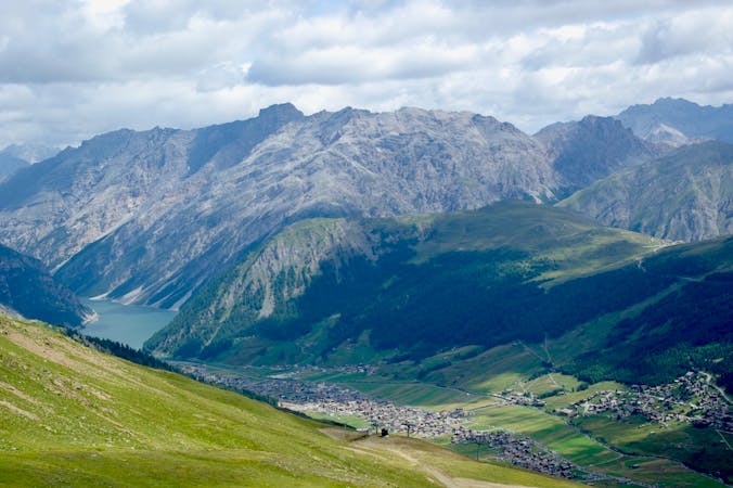
Bormio – Cancano Lakes – Bormio
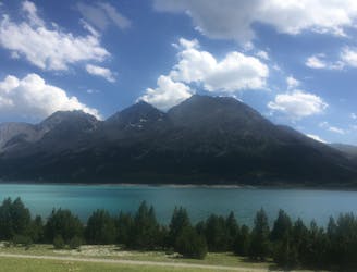
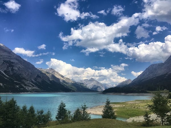
An intense climb to the wonderful Cancano Lakes and a thrilling descent back down to Bormio.
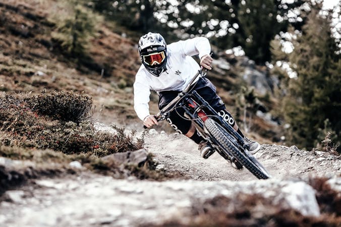
Difficult Mountain Biking
- Distance
- 48 km
- Ascent
- 1.5 km
- Descent
- 1.5 km
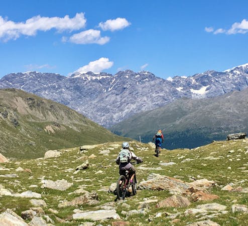
A technically challenging, steep ride through the forest.
Mountain Biking Difficult

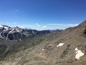
This ride feels far from civilization while remaining close to Bormio throughout. It's beautiful, challenging, and easily accessible, making it a great option for a sunny afternoon when you don't feel like venturing too far out of the valley.
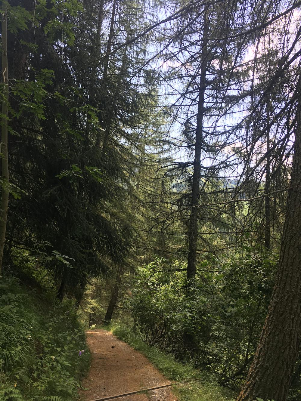
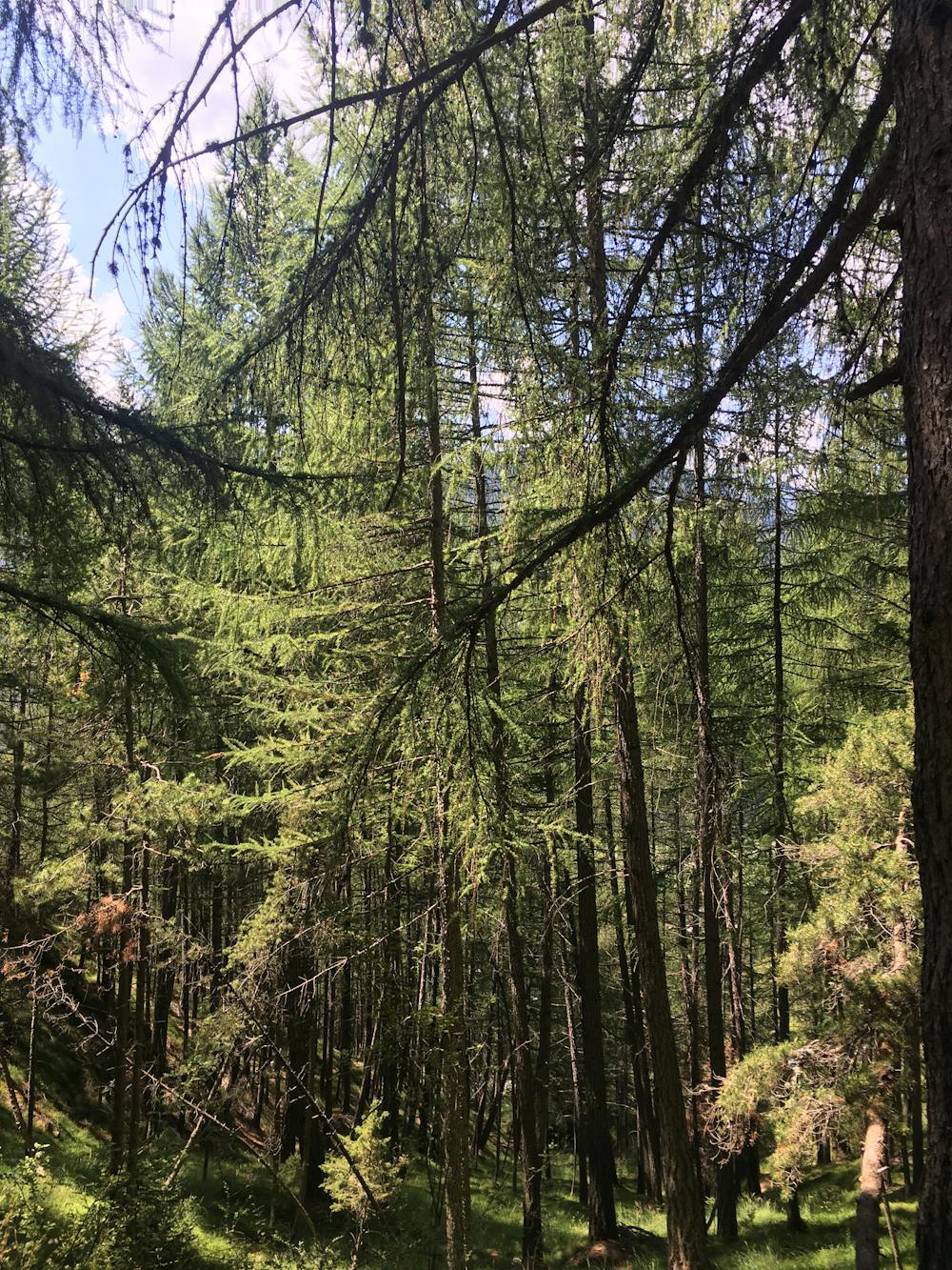
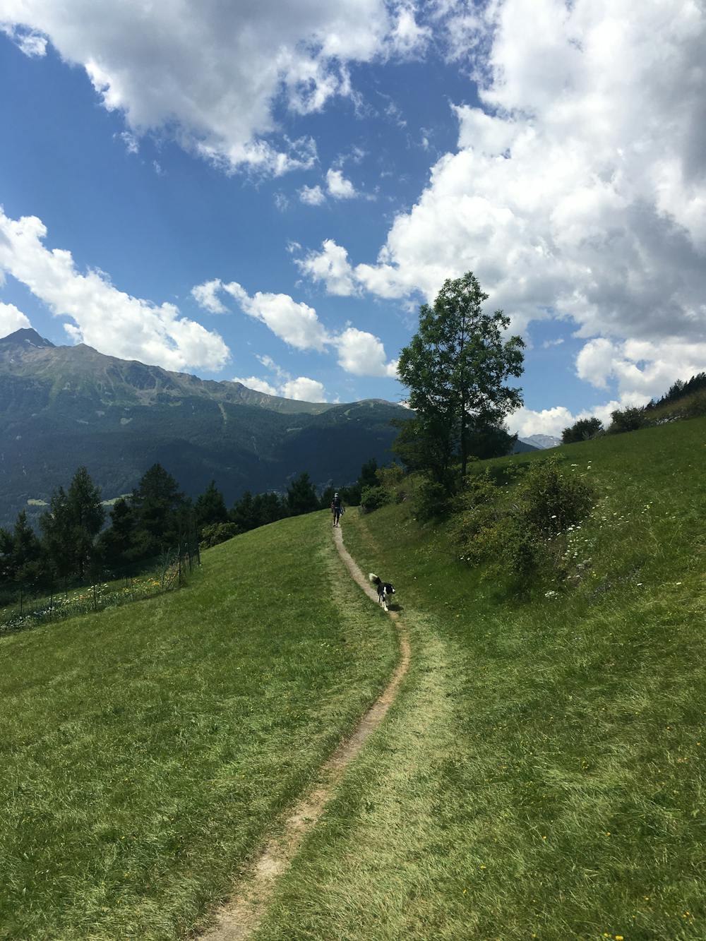
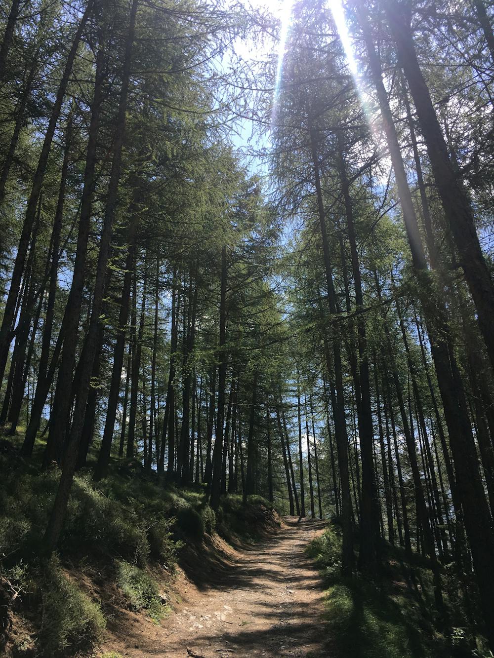
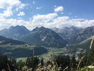
From the Pravasio car park on the main Stelvio road, take the trail S533, immediately entering a beautiful forest of larch trees. You keep on climbing up, passing a few benches with lookout points, a botanical garden on your right and eventually a wide-open picnic area. The trail traverses Monte Reit and takes you up to Casina Bassa. There are a lot of ups and downs, rocks, and roots to watch out for throughout the ride. Eventually, the route opens out from the forest into pastureland, where you start to descend down to the village of Teragua via trails marked S511 and S531. Once in Teragua, cross over the river and follow the gravel track through the forest to Bormio.
Difficult
Mostly stable trail tread with some variability featuring larger and more unavoidable obstacles that may include, but not be limited to: bigger stones, roots, steps, and narrow curves. Compared to lower intermediate, technical difficulty is more advanced and grades of slopes are steeper. Ideal for upper intermediate riders.

The path is on completely flat land and potential injury is limited to falling over.
Close to help in case of emergency.
1.6 km away
An intense climb to the wonderful Cancano Lakes and a thrilling descent back down to Bormio.
Difficult Mountain Biking
4.9 km away
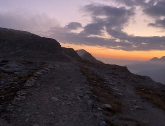
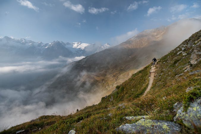
Head up the Bormio 2000 for a tonne of interlaced mountain biking routes taking you down Bormio’s most loved mountain: the Cima Bianca.
Difficult Mountain Biking
4.9 km away
A challenging ride from the beautiful Cancano Lakes to the second highest paved mountain pass in the Alps.
Severe Mountain Biking
5 km away
The best way to experience the beautiful Cancano Lakes.
Easy Mountain Biking
8 km away
Head up the Bormio 3000 for serious challenge and insane views.
Severe Mountain Biking
8.3 km away
Amazing high alpine trails with insane landscapes.
Severe Mountain Biking
8.3 km away
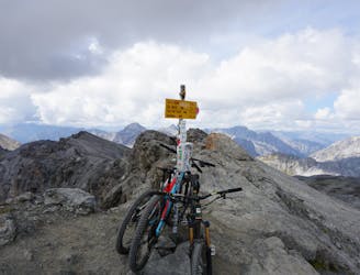
An endless trail from a 3000m peak all the way down to the valley!
Severe Mountain Biking
4 routes · Mountain Biking
5 routes · Mountain Biking
4 routes · Mountain Biking · Hiking
9 routes · Mountain Biking
7 routes · Mountain Biking