2.1 km away
Goldsee & Bim Bam Trail
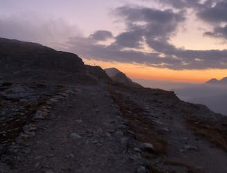
Amazing high alpine trails with insane landscapes.
Severe Mountain Biking
- Distance
- 9.1 km
- Ascent
- 113 m
- Descent
- 1.3 km

An endless trail from a 3000m peak all the way down to the valley!
Mountain Biking Severe

It's not often that you find a trail with more than 1500 vertical meters of descent, but this is one of those trails!
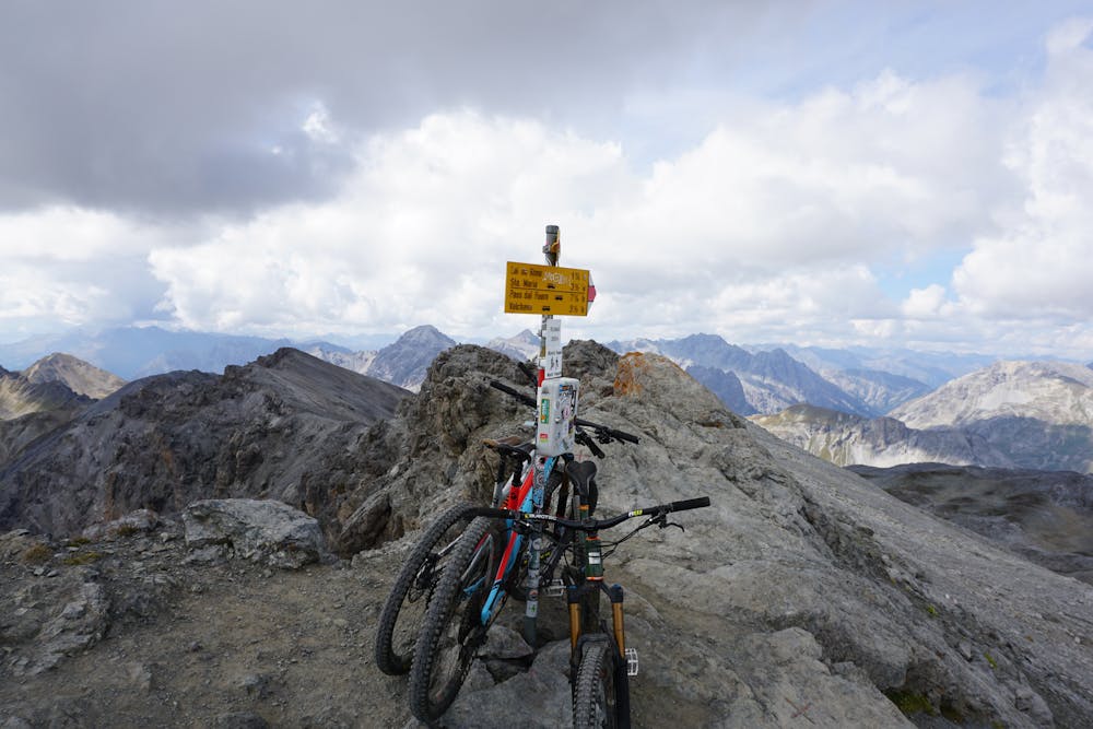
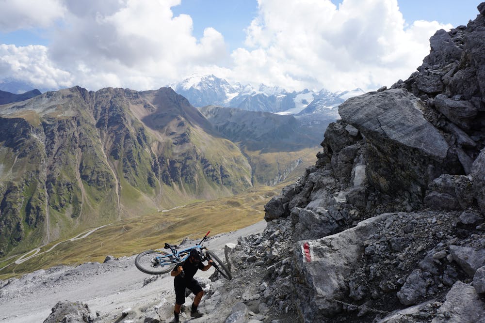
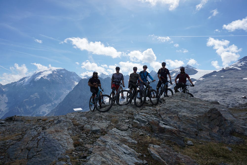
How to get to the start of the route is up to you; you could either take a shuttle or - for those up to the challenge and an early start - make a long climb from the bottom.
The route starts a few meters beyond the building at Umbrail Pass, with a nice long hike-a-bike up to the peak to warm up your legs for the downhill!
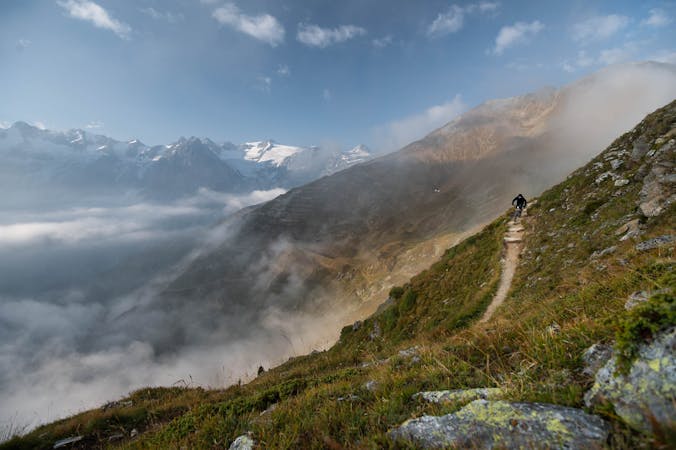
During the climb to the peak there are also short sections where pedalling is possible, as well as challenging sections through rocks and boulders. Take some breaks to breathe and admire nature and all its shades - from the green down in the valley, to the lunar landscapes and lack of vegetation at your altitude, up to the glaciers on the higher peaks surrounding you.
The view at the top is stunning - Switzerland on the northern side, Italy to the south. The trail is the one heading west, towards Santa Maria in Val Mustair.
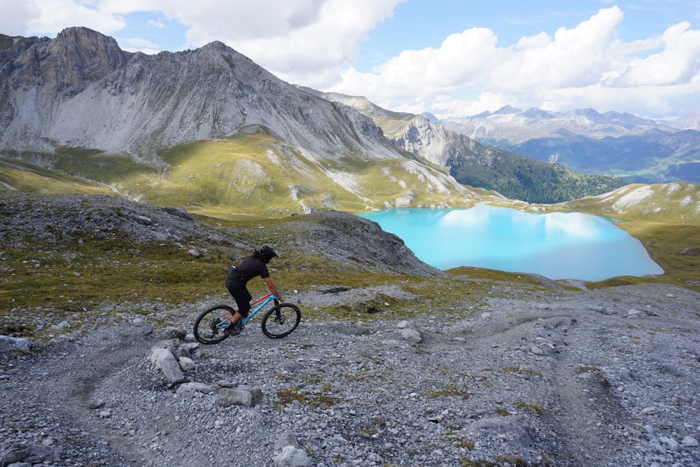
Starting in the lunar landscape with loose but fast rocky terrain, you'll follow the trail all the way down to the lake, Lai da Rims.
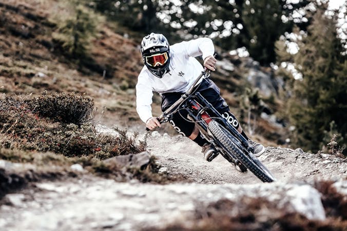
The single trail continues with some technical turns and sections, some of them with a medium exposure. Play it safe and ride aware here, you don’t want to get injured in such a remote and unridden trail. As soon as you enter the forest, the trail offers less technical but loamy sections until the very end.
The long ride and the combination of all the different terrain such as rock gardens, steep technical turns and soft loamy turns in the forest, make this trail an all-round experience for every kind of mountain biker, but also a demanding one!
Severe
Widely variable, narrow trail tread with steeper grades and unavoidable obstacles of 15in/38cm tall or less. Obstacles may include unavoidable bridges 24in/61cm wide or less, large rocks, gravel, difficult root sections, and more. Ideal for advanced-level riders.
2.1 km away

Amazing high alpine trails with insane landscapes.
Severe Mountain Biking
8.3 km away
A technically challenging, steep ride through the forest.
Difficult Mountain Biking
9.3 km away
An intense climb to the wonderful Cancano Lakes and a thrilling descent back down to Bormio.
Difficult Mountain Biking
9.5 km away
A challenging ride from the beautiful Cancano Lakes to the second highest paved mountain pass in the Alps.
Severe Mountain Biking
9.5 km away
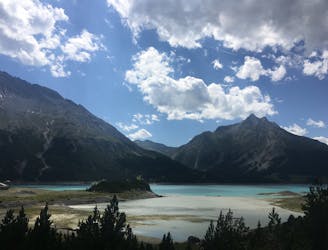
The best way to experience the beautiful Cancano Lakes.
Easy Mountain Biking
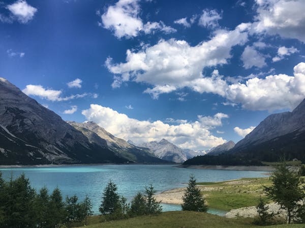
4 routes · Mountain Biking
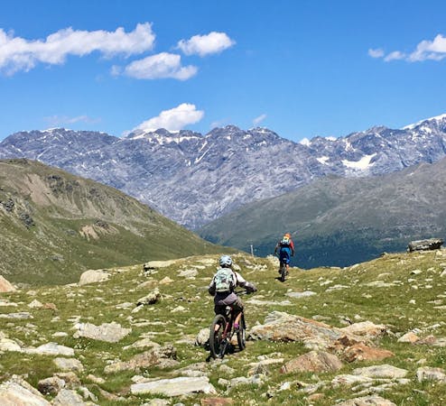
5 routes · Mountain Biking
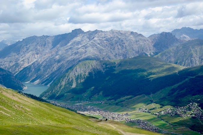
4 routes · Mountain Biking · Hiking
9 routes · Mountain Biking
7 routes · Mountain Biking