620 m away
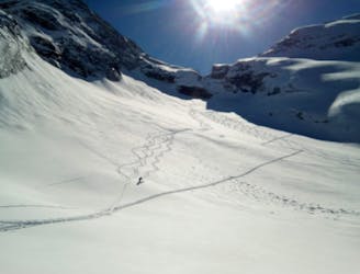
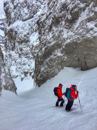
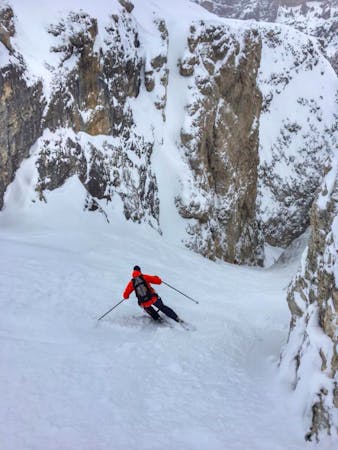
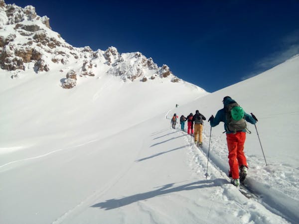
Val Setus - A Classic Dolomites Couloir
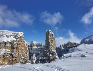
A Stunning Journey Across the Sella Massif Followed By An Aesthetic Steep Descent
Severe Ski Touring
- Distance
- 7.7 km
- Ascent
- 425 m
- Descent
- 1.4 km
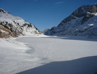
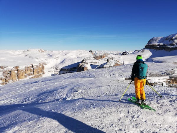
The acces to Val mediz
Ski Touring Moderate

This is a popular ski touring route which is generally considered to be moderate. It's very remote, it features medium exposure (e2) and is typically done between January and March. From a low point of 2.8 km to the maximum altitude of 3 km, the route covers 2.9 km, 214 vertical metres of ascent and 188 vertical metres of descent. You'll need skins to complete it safely.
A easy route to acces the Val mediz. Easy touring, not over any exposures. Make sure to check for snow at the bottom of the valley before (love webcams)
Moderate
Slopes become slightly steeper at around 25-30 degrees.

As well as the slope itself, there are some obstacles (such as rock outcrops) which could aggravate injury.

Little chance of being seen or helped in case of an accident.
620 m away
A Stunning Journey Across the Sella Massif Followed By An Aesthetic Steep Descent
Severe Ski Touring
620 m away
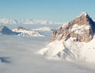
An iconic peak followed by a long and varied descent.
Severe Ski Touring
620 m away
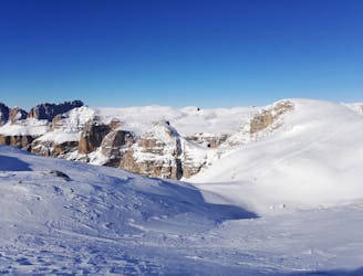
A true Dolomites classic with a short approach and some atmospheric skiing.
Difficult Ski Touring
3.5 km away
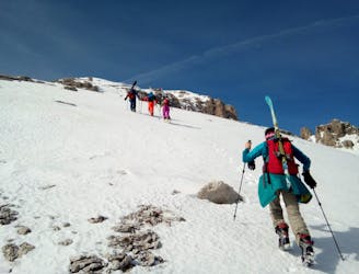
A fine summit and then an abseil-accessed couloir make this a Dolomites classic.
Severe Ski Touring
6 km away
A classic journey through some of the most famous mountains in the Dolomites.
Severe Ski Touring
6 km away
Climb the highest peak in the Dolomites and then ski an exciting north-facing bowl and an epic canyon.
Severe Ski Touring
6.1 km away
A quickly accessed loop through some huge terrain
Difficult Ski Touring
8.3 km away
A staggering trip along a ridge deep in the heart of the Dolomites
Moderate Ski Touring
8.5 km away
A scenic cruise which uses lifts to maximum effect.
Easy Ski Touring

50 routes · Freeride Skiing · Ski Touring
7 routes · Freeride Skiing · Ski Touring
5 routes · Freeride Skiing · Ski Touring
7 routes · Ski Touring
3 routes · Ski Touring
6 routes · Ski Touring