

2.1 km away
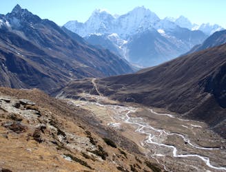
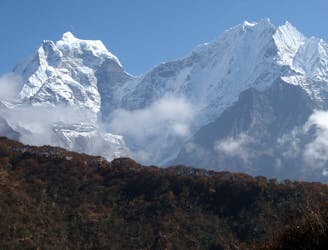
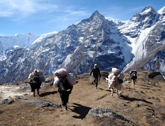
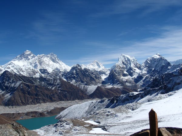
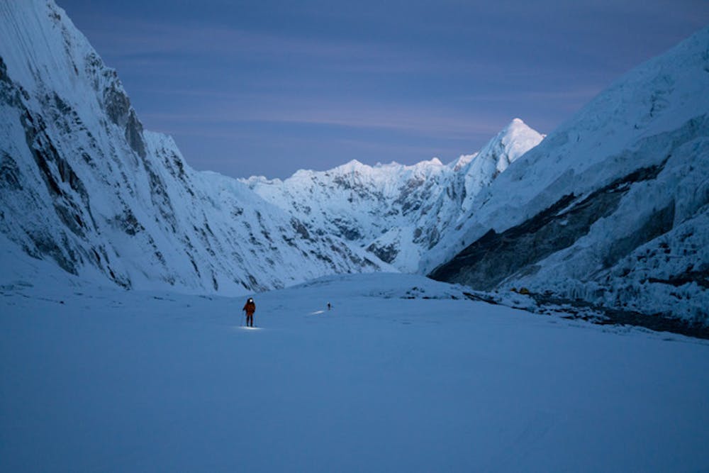
Everest Base Camp Trek: Tengboche to Dingboche
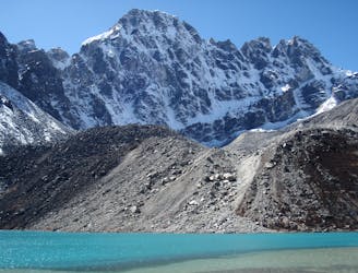
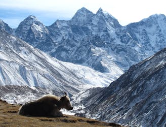
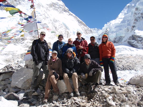
Day 4: A great but tough-feeling day where you reach the magical 4000 metre mark. The trekking is wonderful and the views staggering, but pace yourself and drink plenty of water - this is the day where most people really begin to feel the altitude!
Moderate Hiking
- Distance
- 11 km
- Ascent
- 796 m
- Descent
- 304 m