6.7 km away
Maudekollen
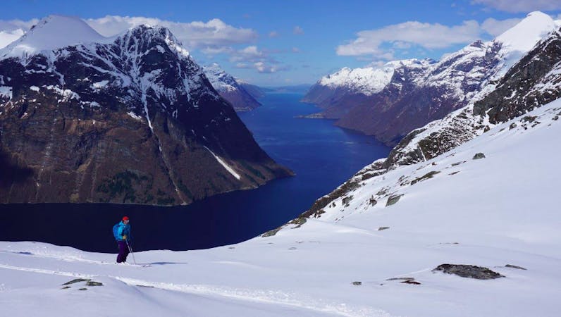
Straightforward ski touring in the Suunmore Alps
Easy Ski Touring
- Distance
- 7.5 km
- Ascent
- 677 m
- Descent
- 677 m
A long but beautiful ski tour in remote and wild surroundings
Ski Touring Difficult

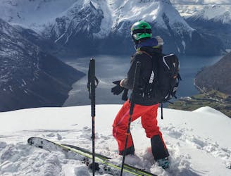
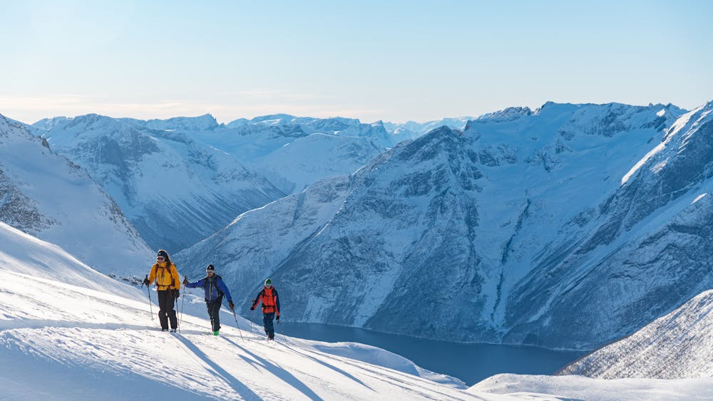
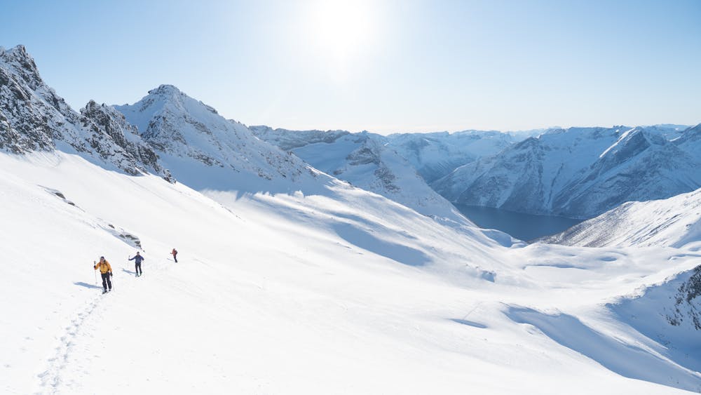
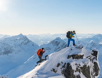
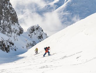
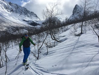
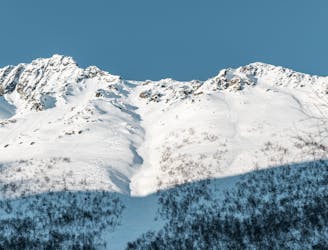
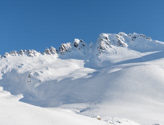
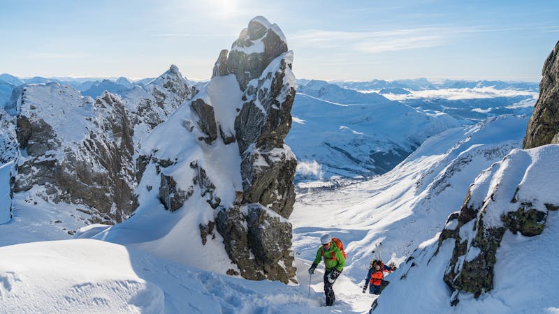
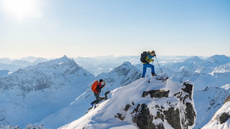
Blåbretinden is a beauty of a peak and is rarely visited because of its remoteness. The summit is alpine and demanding, but it is a fantastic ski tour for those with a bit experience.
This is a route description from Trandal. It is also possible to ascend the summit from the east side, but it involves steeper terrain that is more exposed to avalanches.
Follow the road heading N-E into Trandalen until you come to Trandalssætra. Here you leave the road and head up the hill that goes to the north, and then slightly to the east until you come to Skarrabbvatnet. This hill is steep in some sections, so be cautious of where you lay your tracks.
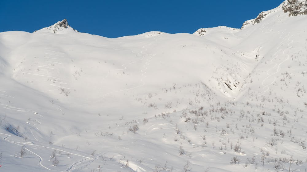
Stay left of Skarrabbvatnet and continue to the col between Storvasstinden and Blåbretinden. From here follow the west face of Blåbretinden which ends in a short couloir that goes up to the ridge. The top section of this face, and specially the couloir, is avalanche prone terrain, so make sure the conditions are safe.
If you want to go all the way to the summit, this is where you leave your skis. Consider putting on crampons and ice axe for the last scramble. To get to the summit (1476 m.a.s.l.) you climb the ridge to the right from the top of the couloir.
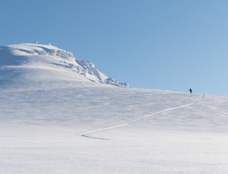
Descend the same way as the ascent.
NB! The only way to get to Trandal is by ferry, which doesn't have very frequently departures. To organise transport, check timetables here: https://www.fjord1.no/Ruteoversikt/Moere-og-Romsdal/Trandal-Standal/(page)/pdf?date=20.04.2021&from=150015208054&to=150015208050
Difficult
Serious gradient of 30-38 degrees where a real risk of slipping exists.

As well as the slope itself, there are some obstacles (such as rock outcrops) which could aggravate injury.

Little chance of being seen or helped in case of an accident.
6.7 km away
Straightforward ski touring in the Suunmore Alps
Easy Ski Touring
7.8 km away
The most spectacular ski tour in the Sunnmøre alps
Severe Ski Touring
8 km away
This long couloir ensures an alpine steep skiing adventure you definitely will remember!
Extreme Ski Touring
8 km away
The most popular ski mountain in the Sunnmøre alps
Difficult Ski Touring
8.1 km away
An easy, accessible and popular ski tour with fantastic skiing
Moderate Ski Touring
9.2 km away
Superb powder skiing in a bowl under a dramatic peak
Difficult Ski Touring
9.2 km away
A hidden pearl in the massif of Grøtdalstindane
Severe Ski Touring
9.3 km away
A long descent with many possibilities
Difficult Ski Touring
9.8 km away
An alpine massif with many possibilities
Difficult Ski Touring
6 routes · Ski Touring
9 routes · Ski Touring
5 routes · Ski Touring