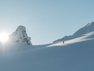
29 m away
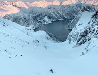
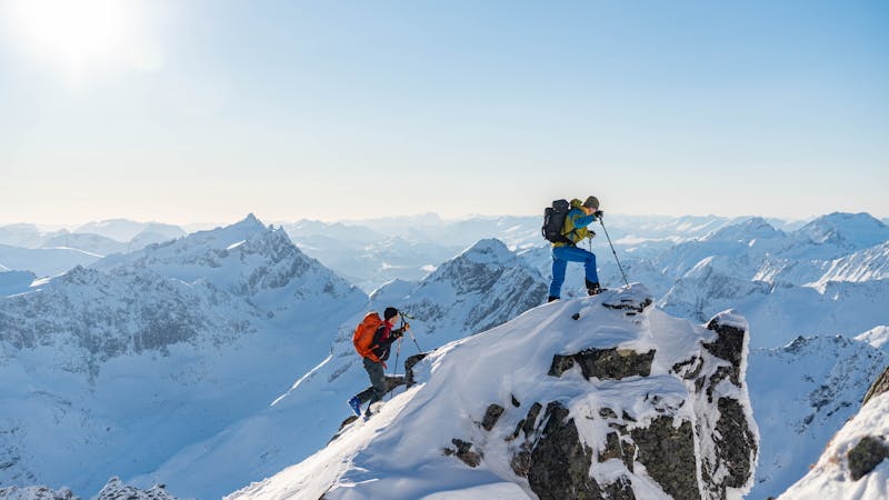
Hellefjellet south couloir
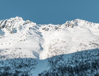
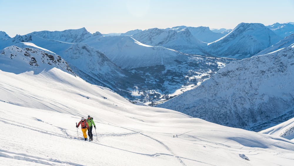
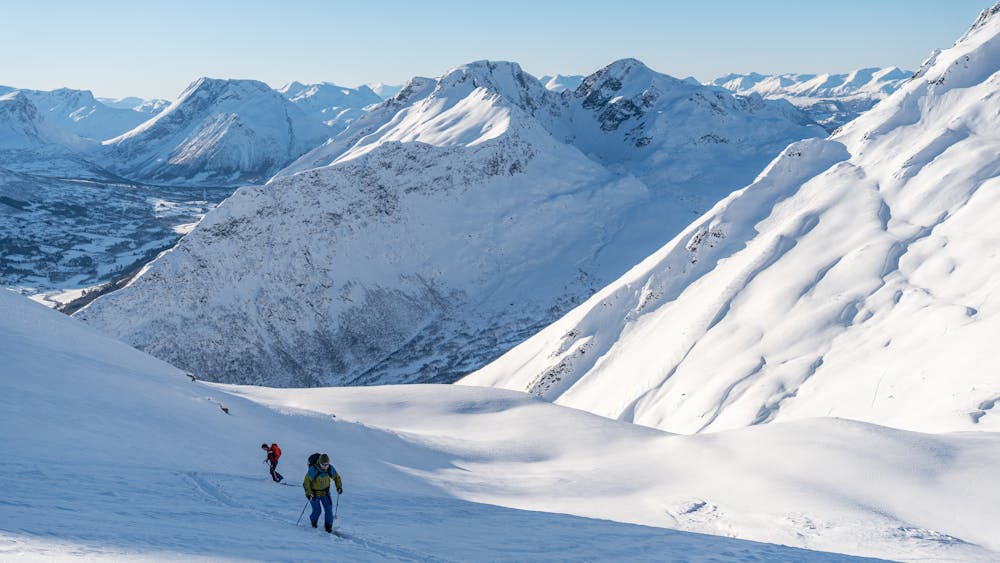
A hidden pearl in the massif of Grøtdalstindane
Severe Ski Touring
- Distance
- 8.7 km
- Ascent
- 1.1 km
- Descent
- 1.1 km
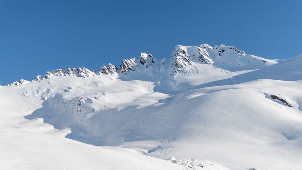
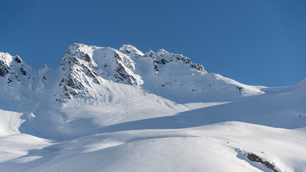
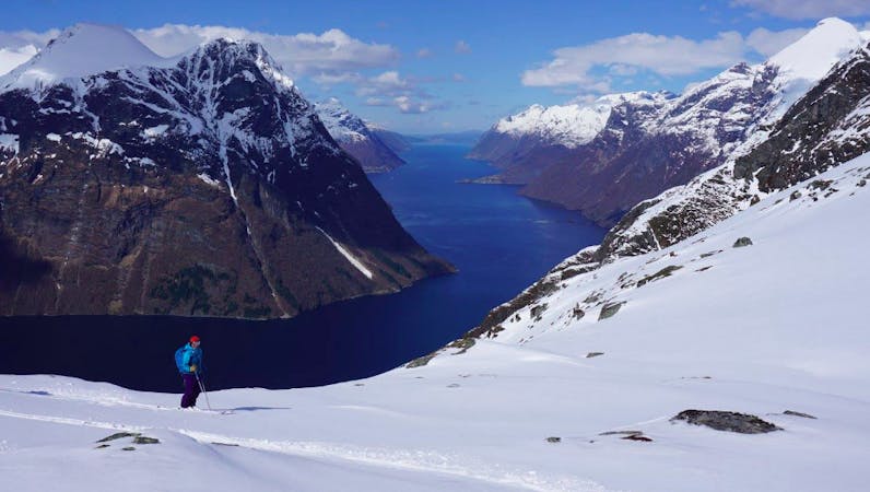
A long descent with many possibilities
Ski Touring Difficult

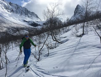
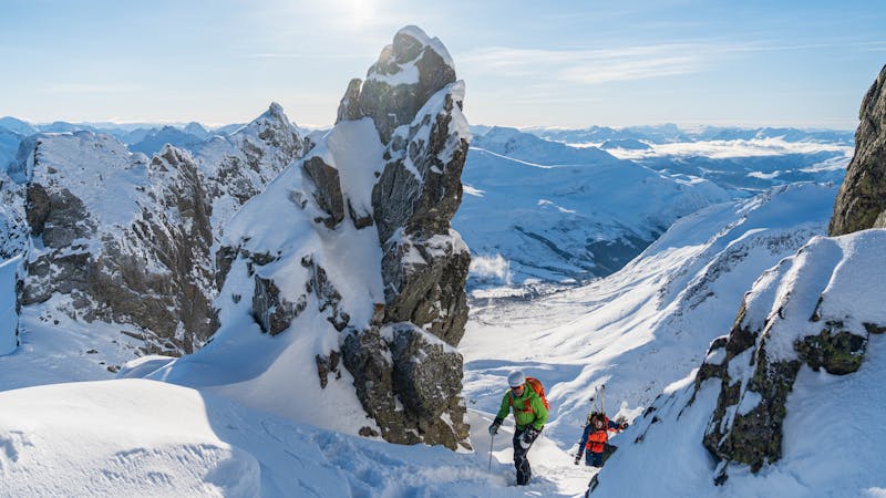
This mountain, located near Sæbø, is much visited through the whole season. An easy approach, great views and a nice descent has made this a classic!
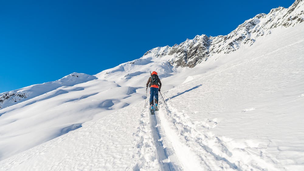
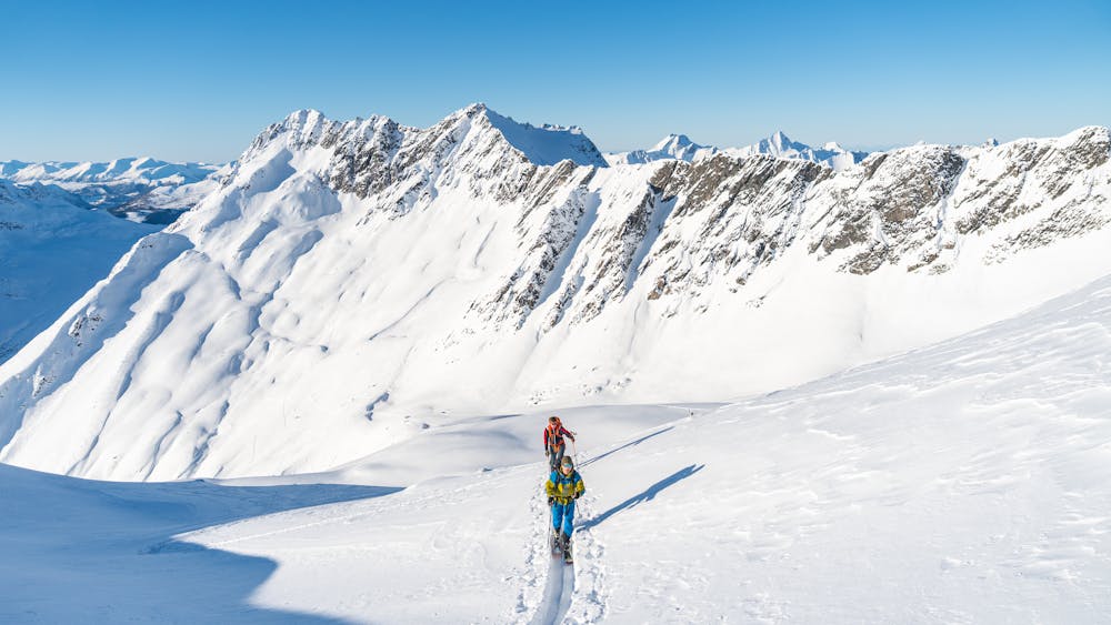
Park your car at Ner-Frøland. Follow a road into Frølandsdalen (not plowed during the winter). After approximately 2 km, just before Heimsætra, you will see a sign that points north up in the woods marked "Grøtdalstinden". This is where you are heading!
When passing the tree line, follow the bowl that will reveal itself. Follow a little ridge in the middle of the bowl until you are at approximately 900 m.a.s.l. at a little flat section. Turn to the east and head for the south west ridge of Grøtdalstinden. Follow the ridge for 100 vertical meters before it gets quite steep.
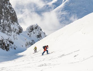
The last meters up to the summit are done by booting up a couloir (40 degrees) which you will enter by traversing a little bit to the left from the ridge. After the couloir follow the ridge north to the summit. Make sure to check the snow conditions in the couloir with respect to avalanche danger before entering it. Also be aware of cornices on the east side on the summit ridge.
Descend the same way as the ascent.
It is also possible to follow the ridge further north from the summit. This traverse requires some scrambling and goes over Midtre- and Nordre Grøtdalstind. There are several couloirs to choose between before you rejoin the normal descent route further down in the valley.
There are many possible ski descents in this huge area under Grøtdalstindane. Just use your imagination and feel free!
Difficult
Serious gradient of 30-38 degrees where a real risk of slipping exists.

As well as the slope itself, there are some obstacles (such as rock outcrops) which could aggravate injury.
Away from help but easily accessed.
29 m away
A hidden pearl in the massif of Grøtdalstindane
Severe Ski Touring
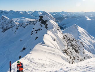
814 m away
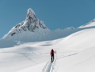
An alpine massif with many possibilities
Difficult Ski Touring
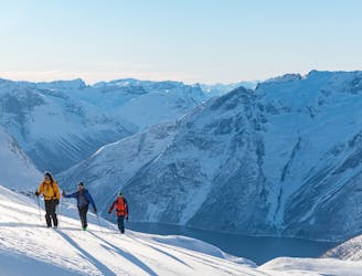
4.2 km away
Probably the most epic descent in the Sunnmøre alps
Difficult Ski Touring
6.3 km away
Superb powder skiing in a bowl under a dramatic peak
Difficult Ski Touring
6.5 km away
An easy, accessible and popular ski tour with fantastic skiing
Moderate Ski Touring
6.5 km away
This long couloir ensures an alpine steep skiing adventure you definitely will remember!
Extreme Ski Touring
6.6 km away
The most popular ski mountain in the Sunnmøre alps
Difficult Ski Touring
8 km away
An alpine summit with stunning view over Kolåstinden
Moderate Ski Touring
9.3 km away
A long but beautiful ski tour in remote and wild surroundings
Difficult Ski Touring
6 routes · Ski Touring
9 routes · Ski Touring
5 routes · Ski Touring