892 m away
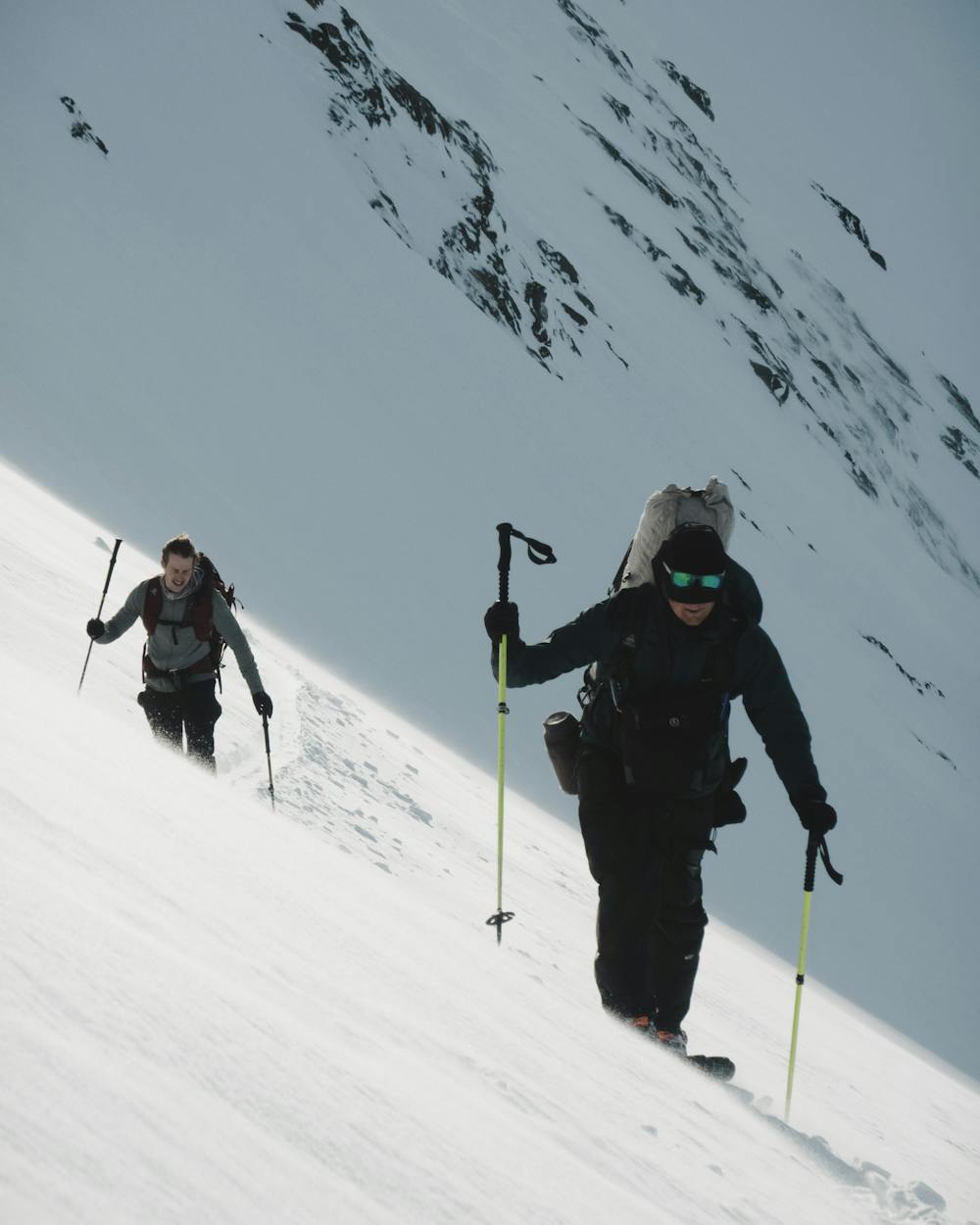
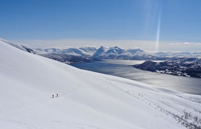
The Jiehkkevarri traverse
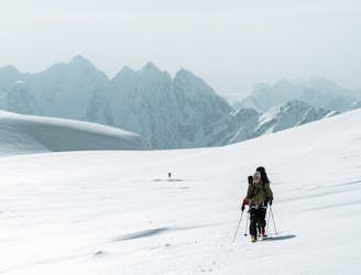
The most beautiful one-day high mountain traverse in Norway
Difficult Ski Touring
- Distance
- 28 km
- Ascent
- 2.6 km
- Descent
- 2.6 km
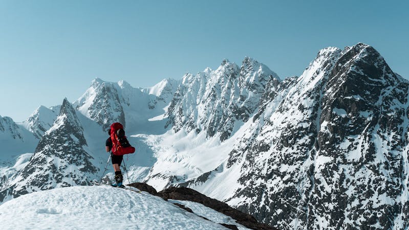
The most beautiful peak in Lyngen
Ski Touring Difficult

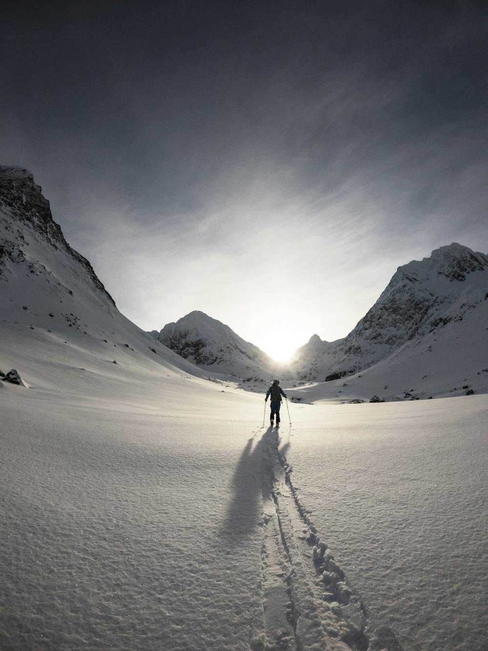
This is a popular ski touring route which is generally considered to be difficult. It's very remote, it features low exposure (e1) and is typically done between January and May. From a low point of 17 m to the maximum altitude of 1.4 km, the route covers 11 km, 1639 vertical metres of ascent and 276 vertical metres of descent. You'll need skins, ice axe and crampons to complete it safely.
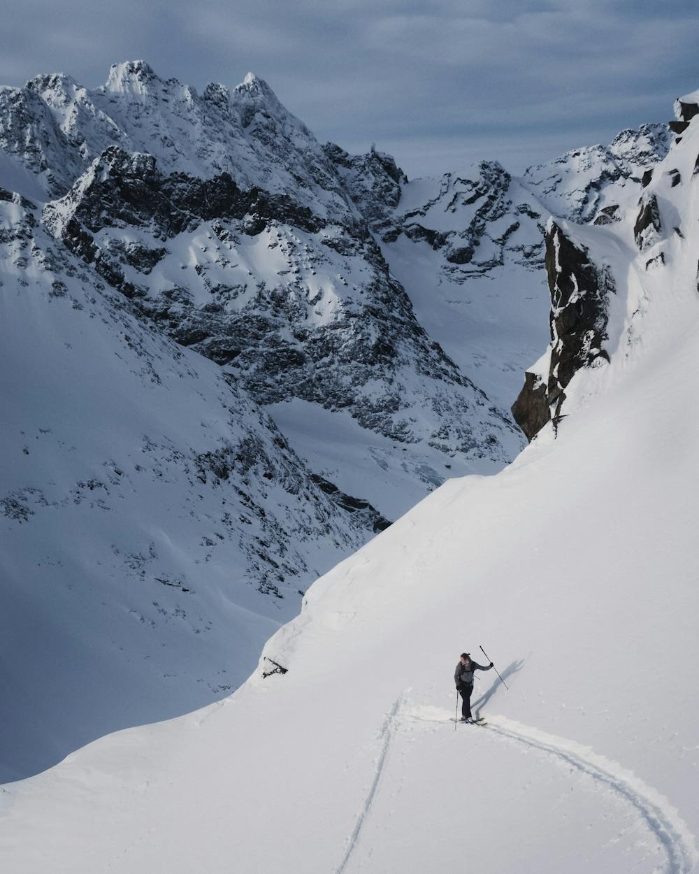
A long walk to a sweet descent off a perfect pyramid peak. A Lyngen classic.
Difficult
Serious gradient of 30-38 degrees where a real risk of slipping exists.

Exposure is limited to that of the slope itself. Getting hurt is still likely if the slope is steep and/or the snow is hard.

Little chance of being seen or helped in case of an accident.
892 m away
The most beautiful one-day high mountain traverse in Norway
Difficult Ski Touring
1 km away
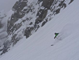
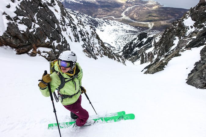
A fun, steep couloir to ski in perfect spring corn and to progress in ski mountaineering
Severe Ski Touring
7.5 km away
2 great steep-ish couloirs in one of Northern Norway's most scenic mountain valleys (and that's saying something!)
Severe Ski Touring
7 routes · Ski Touring
10 routes · Ski Touring

20 routes · Freeride Skiing · Ski Touring
8 routes · Ski Touring