5 m away
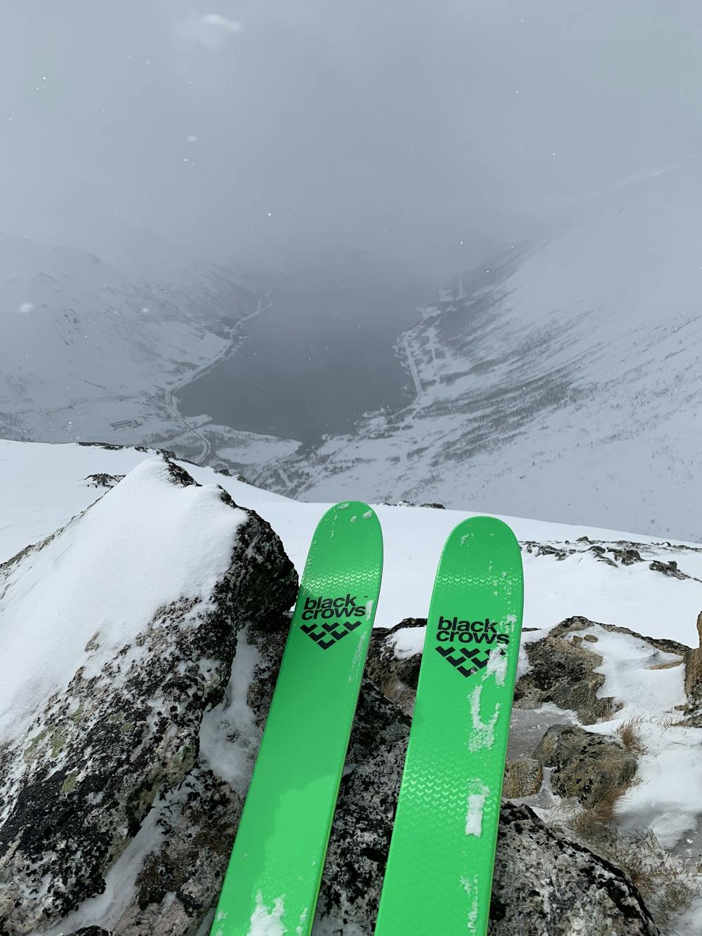
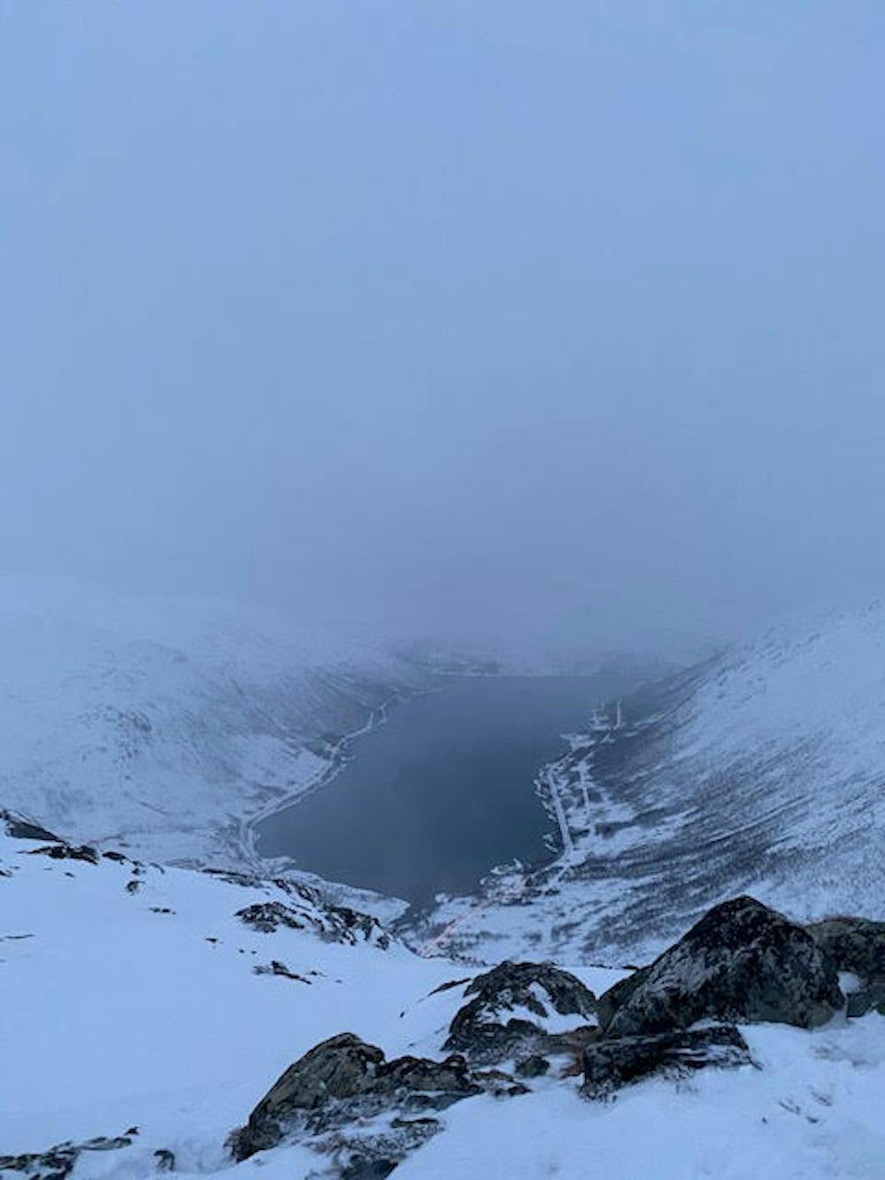
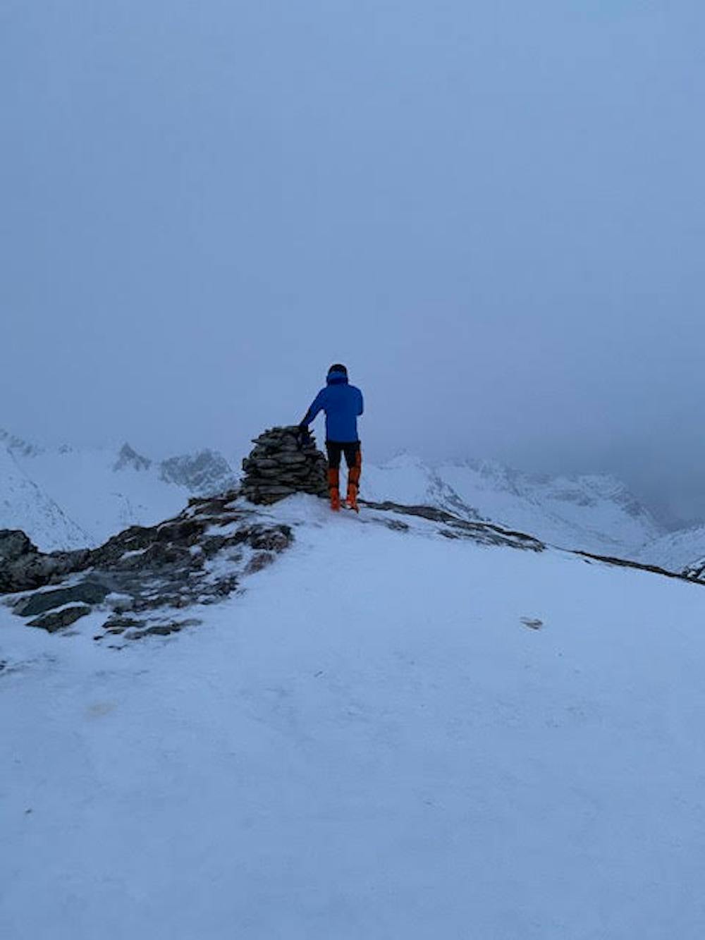
Middagstinden (1006m)
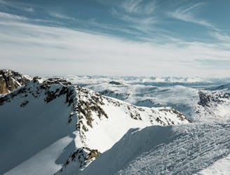
A classic Kvaløya tour, with a little alpine adventure if you would like to reach the very top.
Difficult Ski Touring
- Distance
- 10 km
- Ascent
- 998 m
- Descent
- 993 m
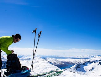
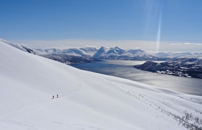
Enkel topptur på Kattfjordeidet.
Ski Touring Easy

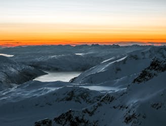
This is a popular ski touring route which is generally considered to be easy. It's remote, it features low exposure (e1) and is typically done between November and April. From a low point of 104 m to the maximum altitude of 501 m, the route covers 3.6 km, 402 vertical metres of ascent and 398 vertical metres of descent. It's graded 1.3 and Labande grade 2. You'll need skins and crampons to complete it safely.
Enkel tur som brukes mye av turistbedrifter til truge- og skiturer for turister. Flott alternativ om man skal ta en rask tur med fin ski kjøring på dager da skredfaren er stor andre plasser. Flott utsikt over Kattfjordeidet og alle de store tindene på Kattfjordeidet.
Easy
Wide gentle slopes at around 20 degrees or less.

Exposure is limited to that of the slope itself. Getting hurt is still likely if the slope is steep and/or the snow is hard.

Away from help but easily accessed.
5 m away
A classic Kvaløya tour, with a little alpine adventure if you would like to reach the very top.
Difficult Ski Touring
1 km away
The most iconic summit on Kvaløya
Difficult Ski Touring
3.3 km away
A true classic on Kvaløya, with a scenic view over Ersfjorden
Difficult Ski Touring
5.5 km away
The go-to mountain in the Tromsø region on powder days
Moderate Ski Touring
9.6 km away

The perfect "ski-after-work-mountain", with varied skiing.
Moderate Ski Touring
9.7 km away
A mellow little peak which offers a variety of nice descents.
Moderate Ski Touring
7 routes · Ski Touring
10 routes · Ski Touring
8 routes · Ski Touring

20 routes · Freeride Skiing · Ski Touring