4.5 km away
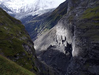
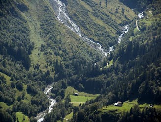
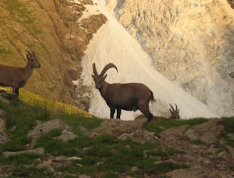
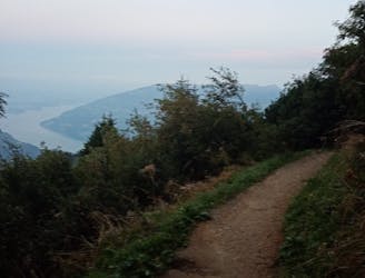
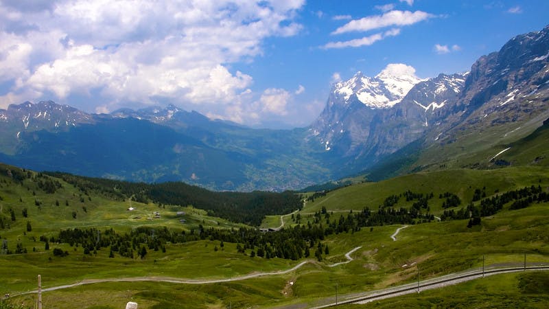
Via Alpina Green Route C10: Grindelwald to Lauterbrunnen
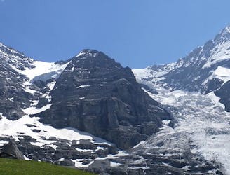
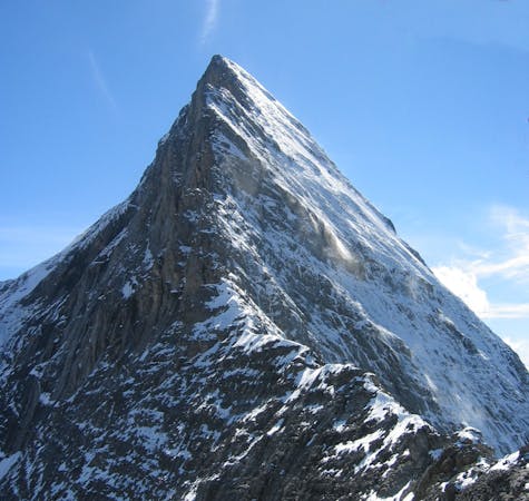
The highlight of this 21km section is the climb up the Kleine Scheidegg where you get glorious views over the Eiger, Mönch and Jungfrau.
Difficult Hiking
- Distance
- 21 km
- Ascent
- 1.3 km
- Descent
- 1.6 km